Old Maps of Longton, Kansas for Hiking & Exploration
Hike through history with 17 historic maps of Longton. Explore old trails, ghost towns, and forgotten backroads — perfect for outdoor adventurers and local explorers.
- Rediscover forgotten places: Map out old mining camps, roads, and footpaths that no longer exist on modern maps.
- Layer with modern tools: Combine with LiDAR or satellite views to plan hikes through historical terrain.
- Made for exploration: Popular among hikers, overlanders, and local history lovers.
Use these maps to find adventure and explore the hidden past of Longton.
Longton, KS maps
(17)- 1885 Map of Sedan, 1960 Print
 1885 Sedan1960 Print · USGSSoutheast Kansas during the 1880s rail boom shows a landscape of emerging prairie towns and expanding iron rails. Genealogists and local historians can trace the early rail layouts of the Atchison Topeka and Santa Fe Railroad through Elk Falls and Longton, or find long-established rural centers like Wauneta and Boston.
 - 1889 Map of Sedan
 1889 Sedan1889 Print · USGSSoutheastern Kansas in the late nineteenth century is captured here as the railroad era transformed the prairie. Researchers can trace early township developments and the paths of the Denver Memphis and Atlantic Railroad through towns like Sedan, Grenola, and Cedar Vale.4 unique versions available
 - 1955 Map of Wichita, 1959 Print
 1955 Wichita1959 Print · USGSSouth-central Kansas comes alive in the mid-1950s as Wichita grows into its role as a regional industrial and military powerhouse. Trace the rail-and-river network connecting El Dorado and Arkansas City through the Atchison Topeka and Santa Fe lines.3 unique versions available
 - 1958 Map of Wichita
 1958 Wichita1958 Print · USGSSouth Central Kansas in the late fifties was a landscape of aviation industry, oil exploration, and expanding turnpikes. Researchers can trace mid-century growth through McConnell Air Force Base, major facilities for Cessna Aircraft Company, and the active El Dorado Oil Field.
 - 1962 Map of Oak Valley, 1963 Print
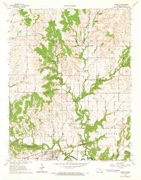
 1962 Oak Valley1963 Print · USGSElk County and Chautauqua County rural life is captured here in the early sixties, centered on the Elk River and rail corridors. Genealogists and researchers can locate the Crum Cem, trace the Atchison Topeka and Santa Fe River line, or explore the streets of Longton and Oak Valley.2 unique versions available
 - 1964 Map of Longton, 1965 Print
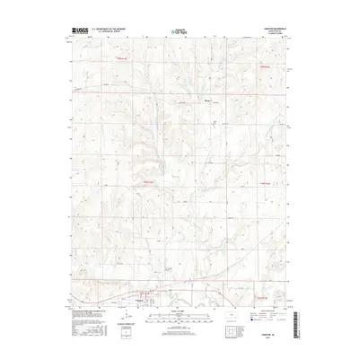
 1964 Longton1965 Print · USGSElk County, Kansas, is captured here in the mid-1960s, showing a landscape defined by treaty lines and energy extraction. Genealogists and historians can trace family locations near Longton, the Ohio Townhall, and the Painterhood Indian Treaty Boundary.2 unique versions available
 - 1985 Map of Sedan
 1985 Sedan1985 Print · USGSSoutheast Kansas in the mid-1980s is defined by rail towns and prairie waterways along the Chautauqua and Cowley county lines. Researchers can trace the Atchison Topeka and Santa Fe line through Grenola or locate the Indian Treaty Boundary and Kaw State Wildlife Area.2 unique versions available
 - 2010 Map of Oak Valley, 2010 Print
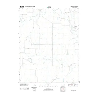 2010 Oak Valley2010 Print · USGSCovers Longton, including Oak Valley, Chautauqua County, and other nearby areas
 - 2010 Map of Longton, 2010 Print
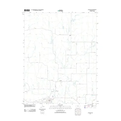
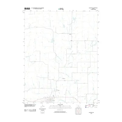 2010 Longton2010 Print · USGSCovers Longton, including Busby, Elk County, and other nearby areas
 - 2012 Map of Longton, 2012 Print
 2012 Longton2012 Print · USGSCovers Longton, including Busby, Elk County, and other nearby areas
 - 2012 Map of Oak Valley, 2012 Print
 2012 Oak Valley2012 Print · USGSCovers Longton, including Oak Valley, Chautauqua County, and other nearby areas
 - 2015 Map of Oak Valley, 2015 Print
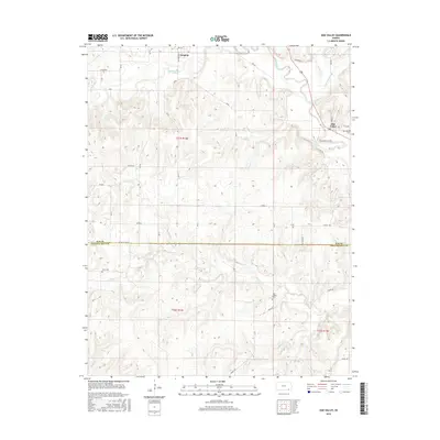 2015 Oak Valley2015 Print · USGSCovers Longton, including Oak Valley, Chautauqua County, and other nearby areas
 - 2015 Map of Longton, 2015 Print
 2015 Longton2015 Print · USGSCovers Longton, including Busby, Elk County, and other nearby areas
 - 2018 Map of Longton, 2018 Print
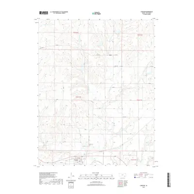 2018 Longton2018 Print · USGSCovers Longton, including Busby, Elk County, and other nearby areas
 - 2018 Map of Oak Valley, 2018 Print
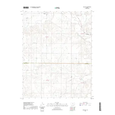 2018 Oak Valley2018 Print · USGSCovers Longton, including Oak Valley, Chautauqua County, and other nearby areas
 - 2022 Map of Longton, 2022 Print
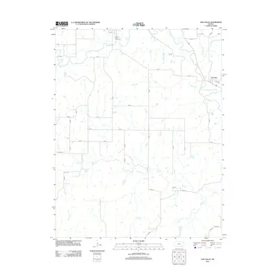
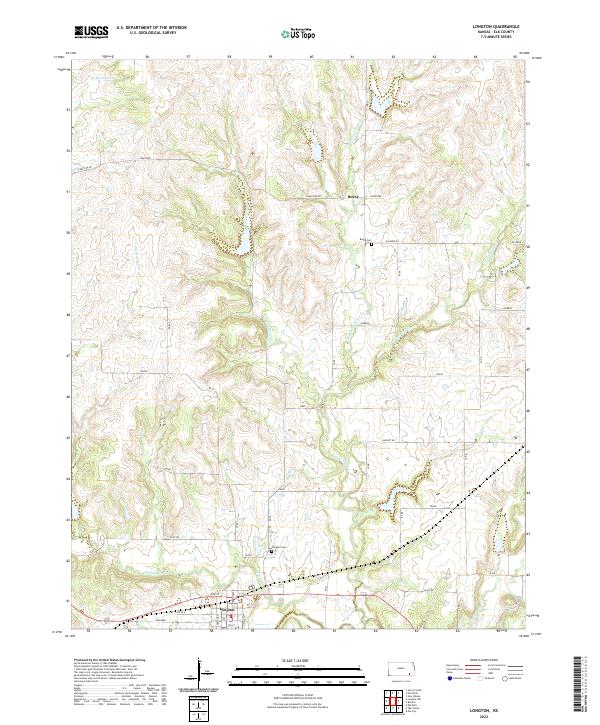 2022 Longton2022 Print · USGSElk County at the start of the 2020s shows a landscape of settled prairie towns and an intricate creek network. Genealogists and historians can trace the foundations of Longton and Busby, or locate family sites at Longton Cem and Busby Cem.
 - 2022 Map of Oak Valley, 2022 Print
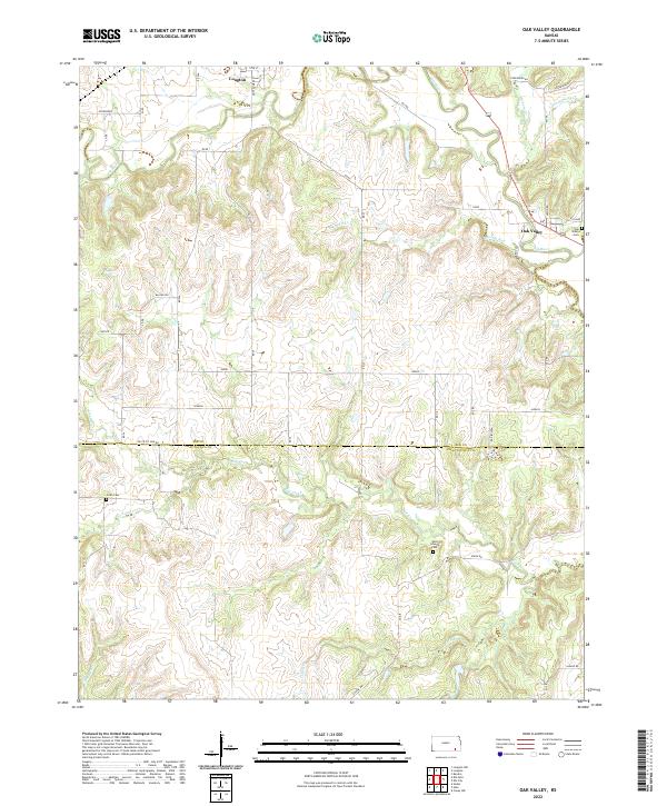 2022 Oak Valley2022 Print · USGSThe Elk River valley in southeastern Kansas is mapped here during the early twenty-first century. Researchers can trace the rural layouts of Longton and Oak Valley or locate family markers at Crum Cem and West Liberty Cem.
End of results
Showing maps 1-17 of 17
Top cities near Longton
- Howard historical maps
- Moline historical maps
- Elk City historical maps
- Oak Valley historical maps
- Elk Falls historical maps
- New Albany historical maps
Frequently asked questions
- What are the different types of historical maps available for Longton?
- What is the oldest map of Longton?
- Where can I purchase historical maps of Longton for my home or office?
- Where can I download high-res historical maps of Longton?
- Are there historical topographic maps available for Longton?
- Is there historical aerial imagery available for Longton?
- Where are historical maps of Longton sourced from?