2000-2009 Maps of Ellis County, Kansas
Explore 19 historic maps of Ellis County from 2000-2009. These maps offer a rare glimpse into what life looked like during the 2000s — showing old roads, neighborhoods, homes, and landmarks that have changed or disappeared over time.
Whether you're researching your family's past, planning a metal detecting trip, or studying how Ellis County's landscape evolved across the 2000s, these high-resolution maps are a powerful tool for exploring the history of this region.
- Focus on a specific era: All maps on this page are from the 2000s, giving you a focused view of this time period.
- See what’s changed: Compare century-old streets, trails, and buildings to today's modern landscape using overlays and satellite layers.
- Research with precision: Use these maps for genealogy, historical research, land use analysis, or educational projects.
- View, download, or print: Maps are fully viewable online in high resolution, and can be downloaded or printed for your own records.
Start exploring Ellis County's history through authentic maps from the 2000s. This is your window into the past.
Ellis County, KS maps
(19)- 2009 Map of Ellis SE, 2009 Print
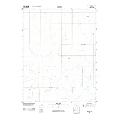 2009 Ellis SE2009 Print · USGSEllis County's high plains are mapped here in the early twenty-first century, showing a landscape defined by the Smoky Hill River and energy extraction. Trace the local impact of the Pleasant West Oil Field and the historic path of Butterfield Trail Rd.
 - 2009 Map of Otis NE, 2009 Print
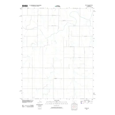 2009 Otis NE2009 Print · USGSThe rural expanse of Ellis County is captured here in the early 2000s, defined by the winding Smoky Hill River and its tributaries. Local history researchers can locate the Pleasantdale Cemetery and trace old routes like Chetolah Gold Rd.
 - 2009 Map of Liebenthal, 2009 Print
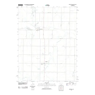 2009 Liebenthal2009 Print · USGSThe high plains of Ellis County are captured here in the early twenty-first century, centered on the historic settlements of Schoenchen and Liebenthal. Researchers can trace local lineage at Saint Anthony Cemetery or follow the path of the Smoky Hill River.
 - 2009 Map of Antonino, 2009 Print
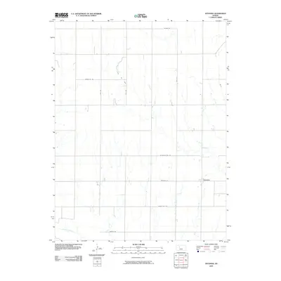 2009 Antonino2009 Print · USGSThe rural landscape of Ellis County at the dawn of the millennium is captured here, centered on the small community of Antonino. Researchers can trace the section roads and energy development at Irvin Oil Field or follow the course of the Smoky Hill River.
 - 2009 Map of McCracken NE, 2009 Print
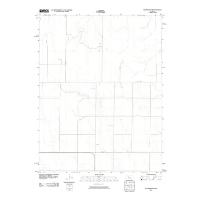 2009 McCracken NE2009 Print · USGSThe rural expanses of Ellis County are captured here in the late 2000s, showing a landscape defined by traditional section lines and prairie drainage. Researchers can trace the path of Snake Creek and locate property boundaries along S County Line Rd and Ellis Ave.
 - 2009 Map of Fairport, 2009 Print
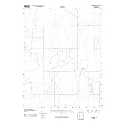 2009 Fairport2009 Print · USGSFairport and the Russell County borderlands are documented here in the early twenty-first century, featuring the winding path of the Saline River. Genealogists and local historians can locate the Fairport Cemetery and trace the agricultural grid along Ellis County Line Rd and Severin Rd.
 - 2009 Map of Catharine, 2009 Print
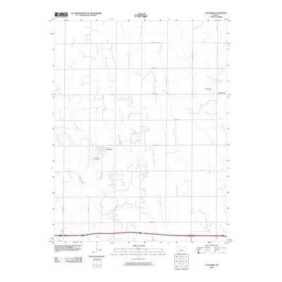 2009 Catharine2009 Print · USGSThe rural landscape of Ellis County is captured here in the early twenty-first century, showcasing the tight-knit settlement of Catharine. Genealogists and local historians can locate family burial sites at Saint Catharine Cemetery and Sacred Heart Cemetery near Emmeram.
 - 2009 Map of Codell, 2009 Print
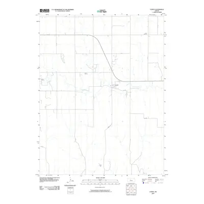 2009 Codell2009 Print · USGSCodell and the surrounding Rooks County countryside are captured here in the early twenty-first century. Genealogists can locate family burial sites at Shiloh Cemetery, Center Cemetery, and Conger Cemetery, or trace the path of Paradise Creek.
 - 2009 Map of Ellis, 2009 Print
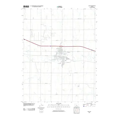 2009 Ellis2009 Print · USGSThe town of Ellis is shown at the end of the first decade of the 2000s, centered on the winding path of Big Creek. Genealogists and local historians can trace family plots at Mount Hope Cemetery or explore the nearby Pleasant Oil Field and Locust Grove.
 - 2009 Map of La Crosse NW, 2009 Print
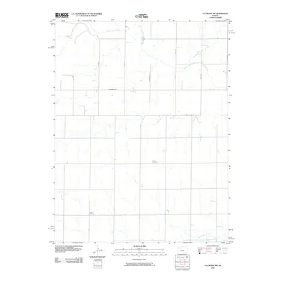 2009 La Crosse NW2009 Print · USGSAcross this Ellis County landscape in 2009, the grid of section-line roads meets the winding paths of the High Plains. Genealogists and historians can locate quiet landmarks such as Cordia Cemetery and Nickel Cemetery near the Smoky Hill River.
 - 2009 Map of Pfeifer, 2009 Print
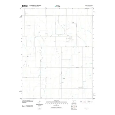 2009 Pfeifer2009 Print · USGSWestern Kansas at the turn of the millennium retains its deep-rooted agricultural patterns and small-town footprints. Genealogists and local historians can trace family ties at Holy Cross Cemetery and Saint Marys Cemetery or explore the rural routes around Pfeifer and Loretta.
 - 2009 Map of Yocemento, 2009 Print
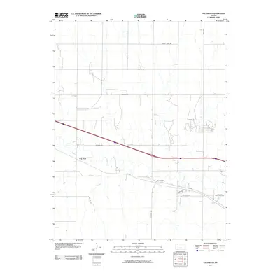 2009 Yocemento2009 Print · USGSCentral Kansas in the early 2000s shows a landscape of prairie ridges and evolving transit routes. Trace the intersection of Old Hwy 40 and Big Creek near the settlement of Yocemento or locate family plots at Fort Hays Memorial Gardens.
 - 2009 Map of Victoria, 2009 Print
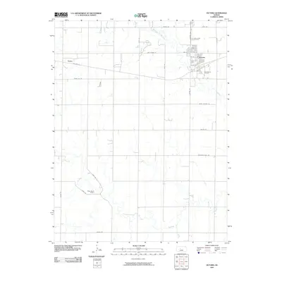 2009 Victoria2009 Print · USGSVictoria and the surrounding Ellis County plains are captured in the late 2000s, showing a landscape defined by historic transit and local heritage. Researchers can trace the path of the Butterfield Trail Rd and locate family sites at Saint Fidelis Cemetery or Saint George Cemetery.
 - 2009 Map of Wild Horse Creek, 2009 Print
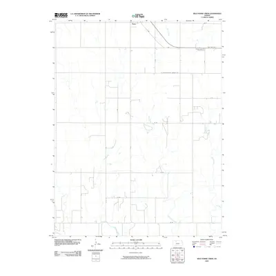 2009 Wild Horse Creek2009 Print · USGSWestern Kansas farmland around the community of Palco is documented here during the early twenty-first century. Researchers can trace the drainage of Wild Horse Creek and Spring Creek through the systematic grid of rural section roads.
 - 2009 Map of Zurich, 2009 Print
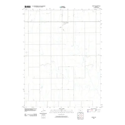 2009 Zurich2009 Print · USGSThe agricultural plains of Rooks County are captured in this early twenty-first century survey of the Zurich area. Researchers can trace land boundaries along the extensive grid of rural routes and locate the historic Zurich Cemetery near the banks of Sand Creek.
 - 2009 Map of Plainville SW, 2009 Print
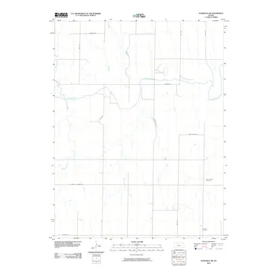 2009 Plainville SW2009 Print · USGSNorthwestern Kansas in the late 2000s remains a landscape of high plains drainage and quiet rural roads. Researchers can trace land ties and local history through features like Saint Andrew Cemetery, Hyacinth Cemetery, and the banks of the Saline River.
 - 2009 Map of Turkville, 2009 Print
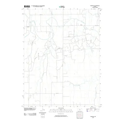 2009 Turkville2009 Print · USGSNorth of Hays in the late 2000s, this area shows the intersection of the agricultural plains and the petroleum industry. Researchers can locate the Norman Cemetery and trace the extensive Bemis - Shutts Oil Field near Turkville.
 - 2009 Map of Mouth of Wild Horse Creek, 2009 Print
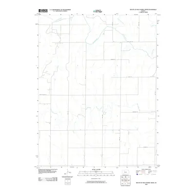 2009 Mouth of Wild Horse Creek2009 Print · USGSEllis County at the end of the first decade of the 2000s shows a landscape deeply tied to its watercourses and rural road network. Trace the winding path of the Saline River and locate family homesteads along Homestead Rd and Wiles Rd.
 - 2009 Map of Plainville SE, 2009 Print
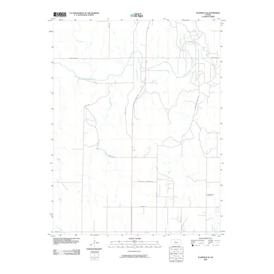 2009 Plainville SE2009 Print · USGSThe rural plains of Ellis County are defined here by the winding Saline River and a precise grid of pioneer-named roads. Genealogists and historians can locate the Saint Severin Cemetery and trace local routes like Horse Thief Canyon Ave.
End of results
Showing maps 1-19 of 19
Top cities of Ellis County
Frequently asked questions
- What are the different types of historical maps available for Ellis County?
- What is the oldest map of Ellis County?
- Where can I purchase historical maps of Ellis County for my home or office?
- Where can I download high-res historical maps of Ellis County?
- Are there historical topographic maps available for Ellis County?
- Is there historical aerial imagery available for Ellis County?
- Where are historical maps of Ellis County sourced from?