Old Maps of Ford, Kansas
Explore 17 old maps of Ford, spanning from 1892 to today. These high-resolution historic maps reveal how streets, neighborhoods, landmarks, and natural features evolved over time — perfect for genealogy, metal detecting, research, and local history exploration.
What you can do with these maps:
- See how Ford changed over time: Compare historical maps to modern-day views to trace roads, homesites, rail lines & more.
- View detailed metadata: Each map includes creators, publishers, year, scale, and archive source.
- Overlay maps with satellite & LiDAR: Visualize the past alongside modern tools to explore terrain & human change.
- Trusted historical sources: Maps sourced from the USGS, Library of Congress, and other archives.
- Access maps your way: View online, download high-res files, or order prints for personal or research use.
Start exploring old maps of Ford to uncover forgotten places, hidden landmarks, and the deep history beneath your feet.
Ford, KS maps
(17)- 1892 Map of Spearville
 1892 Spearville1892 Print · USGSWestern Kansas at the peak of the railroad boom comes to life in this late nineteenth-century survey of the high plains. Genealogists and researchers can trace early town sites like Ford, Spearville, and Bucklin along the Arkansas River and competing rail lines.
 - 1894 Map of Spearville
 1894 Spearville1894 Print · USGSWestern Kansas was undergoing a rail-driven boom during the late nineteenth century as new townships emerged along the prairie. Genealogists and historians can trace early trackside settlements like Spearville and Ford or follow the path of the Arkansas River and Coon Creek.4 unique versions available
 - 1955 Map of Pratt, 1968 Print
 1955 Pratt1968 Print · USGSSouth-central Kansas during the mid-fifties presents a landscape of sprawling oil fields and critical rail junctions. Researchers can trace the paths of the Atchison Topeka and Santa Fe railroad or locate local landmarks like the Blue Ridge Community House and Camp Carlisle.3 unique versions available
 - 1959 Map of Pratt
 1959 Pratt1959 Print · USGSSouth-central Kansas thrived as a rail and agricultural hub in the late fifties, where the Arkansas River meets a vast grid of section roads. Researchers can trace the path of the Missouri Pacific railroad through settlements like Turon and Stafford, or locate family landmarks like the Prairie Oak School.2 unique versions available
 - 1969 Map of Bucklin NW, 1971 Print
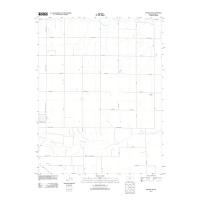
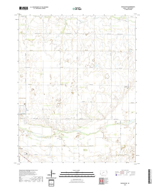
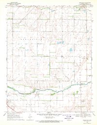 1969 Bucklin NW1971 Print · USGSFord County during the late sixties shows a landscape of river-bottom agriculture and railroad development. Genealogists and historians can locate Ford Cemetery, trace the C R I & P rail line, or find the site of School No 459 and Pleasant Valley Cemetery.
 - 1969 Map of Ford, 1971 Print
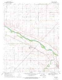 1969 Ford1971 Print · USGSThe Arkansas River valley in Ford County appears here in the late sixties, a landscape of rail-served industry and riverfront agriculture. Researchers can trace the Chicago Rock Island and Pacific line through Ford and locate industrial Gravel Pits along the river.2 unique versions available
 - 1985 Map of Kinsley
 1985 Kinsley1985 Print · USGSWestern Kansas at the peak of the mid-eighties shows a landscape defined by historic treaty lines and the dominance of the rails. Genealogists and historians can trace the Old Indian Treaty Boundary and find long-standing settlements like Fort Dodge, Greensburg, and Windhorst.2 unique versions available
 - 2009 Map of Bucklin NW, 2009 Print
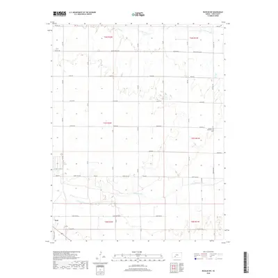
 2009 Bucklin NW2009 Print · USGSCovers Ford, including Ford County, United States, and other nearby areas
 - 2009 Map of Ford, 2009 Print
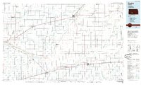
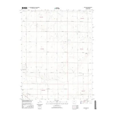
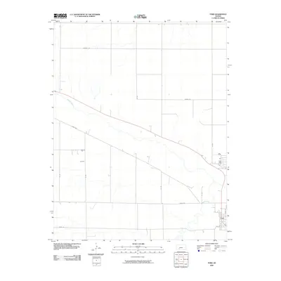 2009 Ford2009 Print · USGSCovers Ford, including Ford County, United States, and other nearby areas
 - 2012 Map of Ford, 2012 Print
 2012 Ford2012 Print · USGSCovers Ford, including Ford County, United States, and other nearby areas
 - 2012 Map of Bucklin NW, 2012 Print
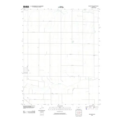
 2012 Bucklin NW2012 Print · USGSCovers Ford, including Ford County, United States, and other nearby areas
 - 2015 Map of Ford, 2015 Print
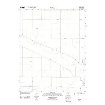
 2015 Ford2015 Print · USGSCovers Ford, including Ford County, United States, and other nearby areas
 - 2016 Map of Bucklin NW, 2016 Print
 2016 Bucklin NW2016 Print · USGSCovers Ford, including Ford County, United States, and other nearby areas
 - 2018 Map of Ford, 2018 Print
 2018 Ford2018 Print · USGSCovers Ford, including Ford County, United States, and other nearby areas
 - 2018 Map of Bucklin NW, 2018 Print
 2018 Bucklin NW2018 Print · USGSCovers Ford, including Ford County, United States, and other nearby areas
 - 2022 Map of Bucklin NW, 2022 Print
 2022 Bucklin NW2022 Print · USGSFord County and the Arkansas River valley are shown here in the early twenty-first century, a landscape defined by prairie agriculture and rural townships. Researchers can trace family history at Ford Cem and Pleasant Valley Cem or explore named routes like Butter and Egg Rd.
 - 2022 Map of Ford, 2022 Print
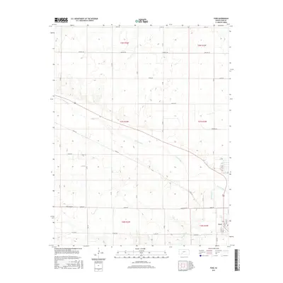
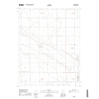
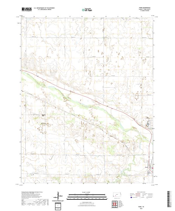 2022 Ford2022 Print · USGSThe town of Ford is documented here in the early twenty-first century, anchored by the Arkansas River and the local road grid. Researchers can trace the street-level layout of the town along Main St or follow the paths of Lariat Way and Mulberry Cr.
End of results
Showing maps 1-17 of 17
Top cities near Ford
Frequently asked questions
- What are the different types of historical maps available for Ford?
- What is the oldest map of Ford?
- Where can I purchase historical maps of Ford for my home or office?
- Where can I download high-res historical maps of Ford?
- Are there historical topographic maps available for Ford?
- Is there historical aerial imagery available for Ford?
- Where are historical maps of Ford sourced from?