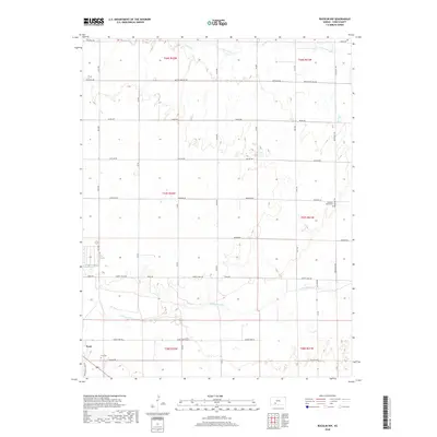
2018 Map of Bucklin NW
USGS Topo · Published 2018About this map
The Arkansas River winds through the southern reaches of this Ford County landscape, defining the character of the river valley near the settlement of Ford. North of the river, a rigorous grid of named section roads such as Butter and Egg Rd, Outlaw Rd, and Liberty Trail Rd reflects the systematic agricultural development of the High Plains. These corridors link remote homesteads to local landmarks like the Pleasant Valley Cem and Ford Cem, which serve as vital touchstones for genealogical research in the region.
Find a feature on this map
32 named features on this map. Tap any name to fly to it.
Don’t see what you’re looking for? This feature index may not catch every label — zoom into the map to look around manually.
Map Details
Editions of this 2018 Bucklin NW Map
This is the sole edition of this map. No revisions or reprints were ever made.
Other maps of this area

1892 · Spearville
USGS Topo · 1:125,000

1894 · Spearville
USGS Topo · 1:125,000

1955 · Pratt
USGS Topo · 1:250,000

1959 · Pratt
USGS Topo · 1:250,000

1969 · Bucklin NE
USGS Topo · 1:24,000

1969 · Bucklin SE
USGS Topo · 1:24,000

1969 · Bucklin
USGS Topo · 1:24,000

1969 · Kingsdown
USGS Topo · 1:24,000

1969 · Bucklin NW
USGS Topo · 1:24,000

1969 · Ford
USGS Topo · 1:24,000