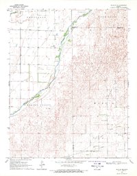
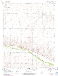
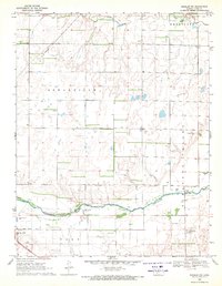
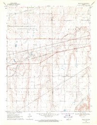
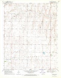
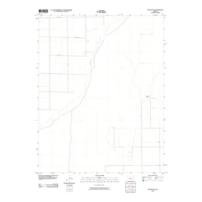
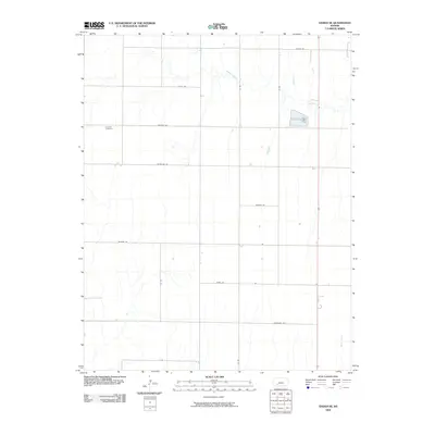
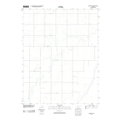
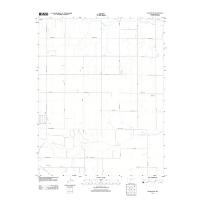
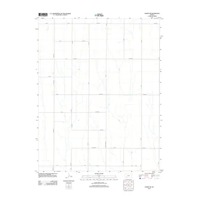
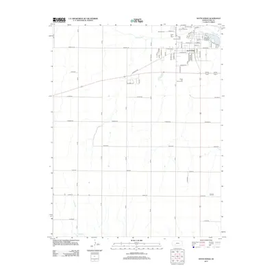
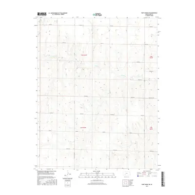
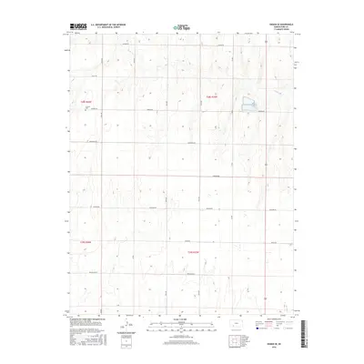
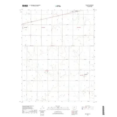
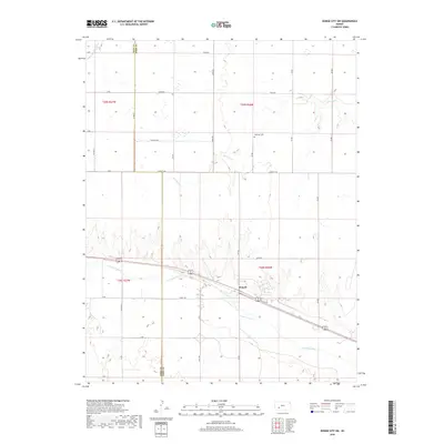
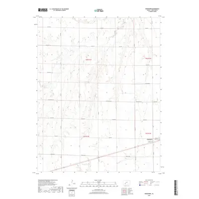
1969 Map of Bucklin NE
USGS Topo · Published 1971About this map
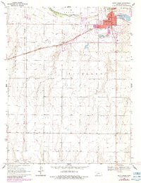
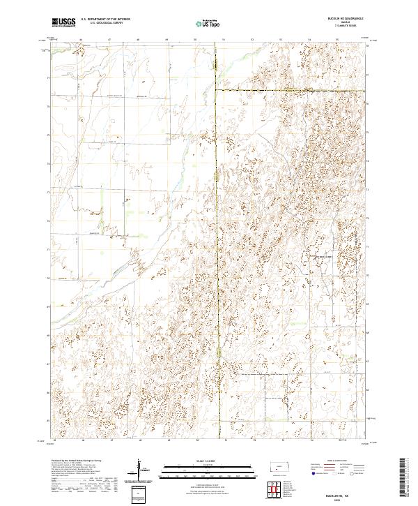
The Arkansas River cuts a prominent path through this 1960s Kansas landscape, marking a transition between the irrigated lowlands of Pleasant Valley and the energy-rich uplands to the east. The terrain is divided into distinct named regions including Wheatland, Trenton, and South Brown, reflecting the agricultural heritage of the high plains. Industrial activity is concentrated in the eastern half of the survey, where the Fralick West Oil Field is situated amidst a network of resources.
Find a feature on this map
17 named features on this map. Tap any name to fly to it.
Don’t see what you’re looking for? This feature index may not catch every label — zoom into the map to look around manually.
Map Details
Editions of this 1969 Bucklin NE Map
This is the sole edition of this map. No revisions or reprints were ever made.
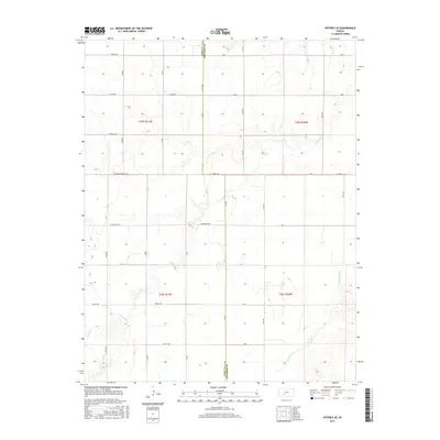
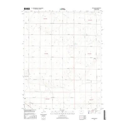
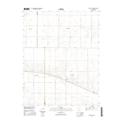
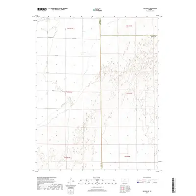
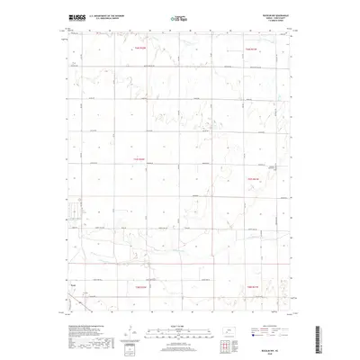
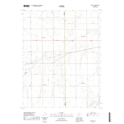
Historical Maps of Kiowa Rural Township Through Time
66 maps found
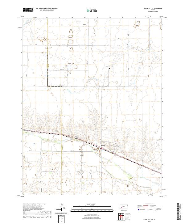
1968 Dodge City SW
Ford County, KS
1969 Bucklin NE
Ford County, KS
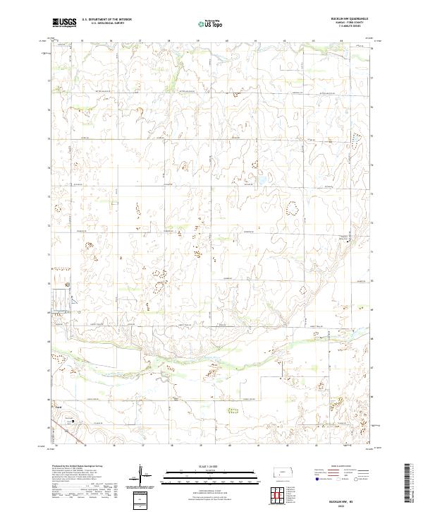
1969 Bucklin NW
Ford County, KS
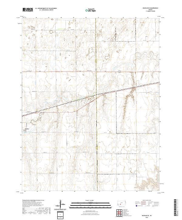
1969 Bucklin SE
Ford County, KS
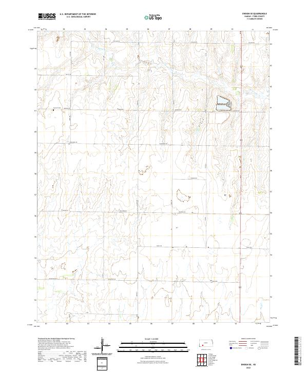
1969 Ensign SE
Ford County, KS
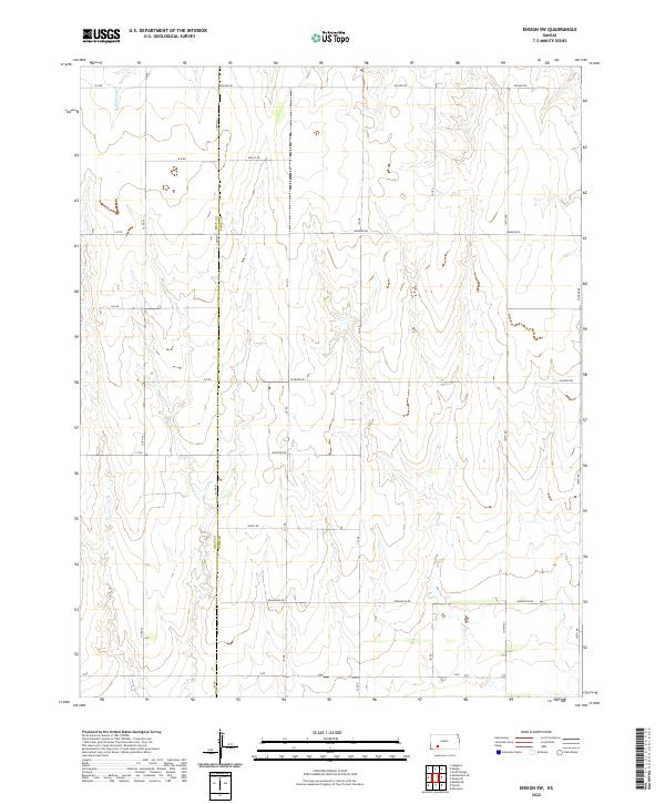
1969 Ensign SW
Ford County, KS
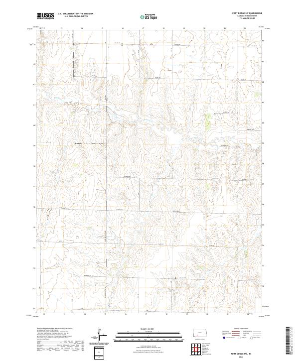
1969 Fort Dodge SW
Ford County, KS
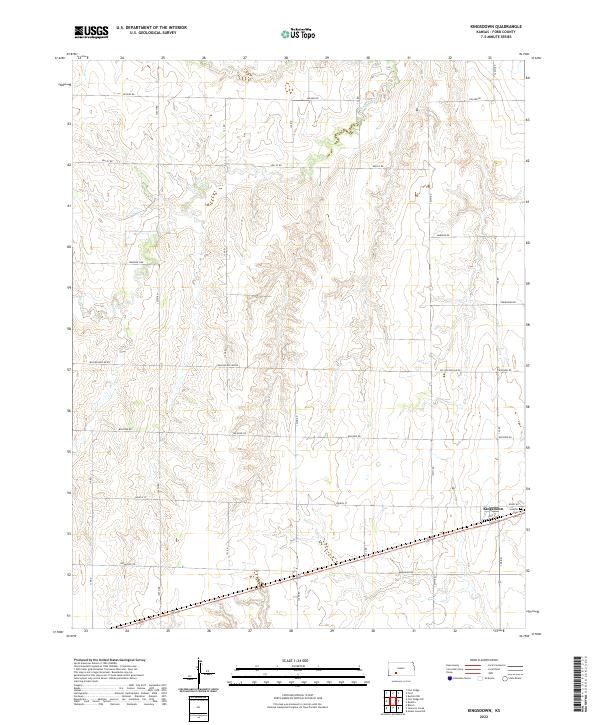
1969 Kingsdown
Ford County, KS
1969 South Dodge
Ford County, KS
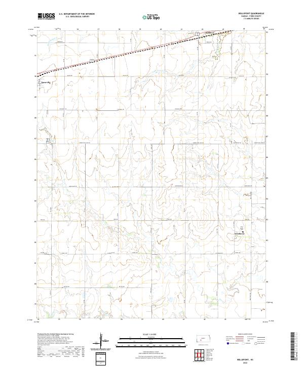
1972 Bellefont
Ford County, KS
1972 Offerle SE
Ford County, KS
2009 Bellefont
Ford County, KS
2009 Bucklin NE
Ford County, KS
2009 Bucklin NW
Ford County, KS
2009 Bucklin SE
Ford County, KS
2009 Dodge City SW
Ford County, KS
2009 Ensign SE
Ford County, KS
2009 Ensign SW
Ford County, KS
2009 Fort Dodge SW
Ford County, KS
2009 Kingsdown
Ford County, KS
2009 Offerle SE
Ford County, KS
2009 South Dodge
Ford County, KS
2012 Bellefont
Ford County, KS
2012 Bucklin NE
Ford County, KS
2012 Bucklin NW
Ford County, KS
2012 Bucklin SE
Ford County, KS
2012 Dodge City SW
Ford County, KS
2012 Ensign SE
Ford County, KS
2012 Ensign SW
Ford County, KS
2012 Fort Dodge SW
Ford County, KS
2012 Kingsdown
Ford County, KS
2012 Offerle SE
Ford County, KS
2012 South Dodge
Ford County, KS
2015 Bellefont
Ford County, KS
2015 Bucklin NE
Ford County, KS
2015 Bucklin SE
Ford County, KS
2015 Fort Dodge SW
Ford County, KS
2015 Offerle SE
Ford County, KS
2016 Bucklin NW
Ford County, KS
2016 Dodge City SW
Ford County, KS
2016 Ensign SE
Ford County, KS
2016 Ensign SW
Ford County, KS
2016 Kingsdown
Ford County, KS
2016 South Dodge
Ford County, KS
2018 Bellefont
Ford County, KS
2018 Bucklin NE
Ford County, KS
2018 Bucklin NW
Ford County, KS
2018 Bucklin SE
Ford County, KS
2018 Dodge City SW
Ford County, KS
2018 Ensign SE
Ford County, KS
2018 Ensign SW
Ford County, KS
2018 Fort Dodge SW
Ford County, KS
2018 Kingsdown
Ford County, KS
2018 Offerle SE
Ford County, KS
2018 South Dodge
Ford County, KS
2022 Bellefont
Ford County, KS
2022 Bucklin NE
Ford County, KS
2022 Bucklin NW
Ford County, KS
2022 Bucklin SE
Ford County, KS
2022 Dodge City SW
Ford County, KS
2022 Ensign SE
Ford County, KS
2022 Ensign SW
Ford County, KS
2022 Fort Dodge SW
Ford County, KS
2022 Kingsdown
Ford County, KS
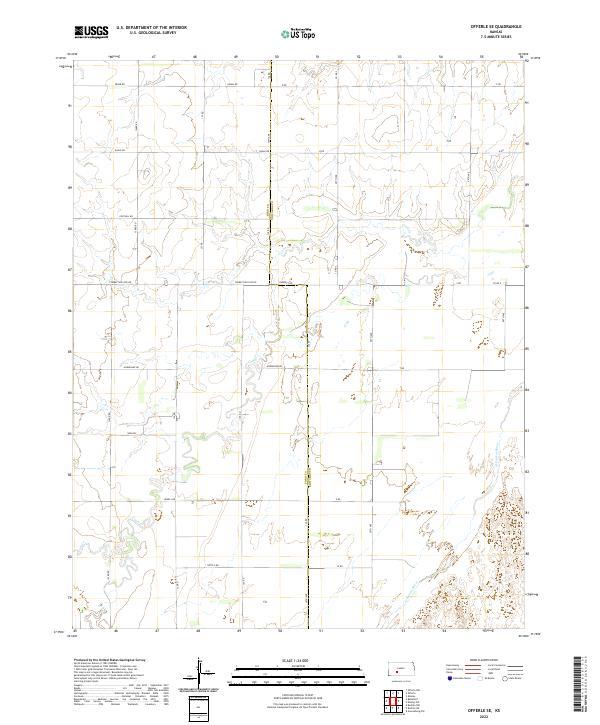
2022 Offerle SE
Ford County, KS
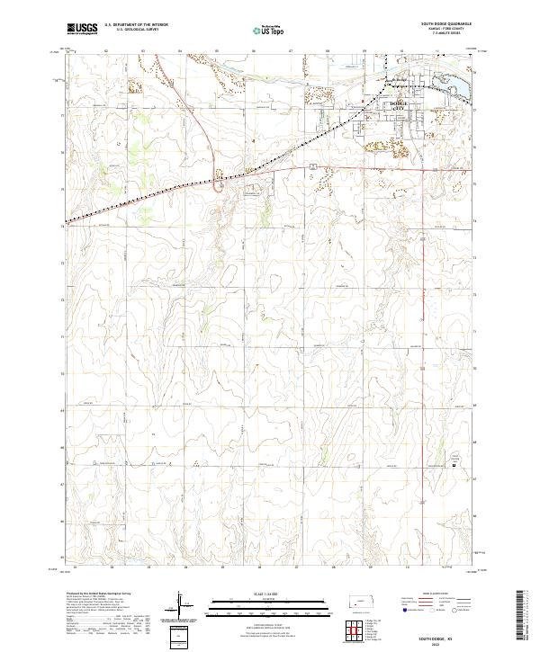
2022 South Dodge
Ford County, KS