Old Maps of Milford, Kansas
Explore 18 old maps of Milford, spanning from 1886 to today. These high-resolution historic maps reveal how streets, neighborhoods, landmarks, and natural features evolved over time — perfect for genealogy, metal detecting, research, and local history exploration.
What you can do with these maps:
- See how Milford changed over time: Compare historical maps to modern-day views to trace roads, homesites, rail lines & more.
- View detailed metadata: Each map includes creators, publishers, year, scale, and archive source.
- Overlay maps with satellite & LiDAR: Visualize the past alongside modern tools to explore terrain & human change.
- Trusted historical sources: Maps sourced from the USGS, Library of Congress, and other archives.
- Access maps your way: View online, download high-res files, or order prints for personal or research use.
Start exploring old maps of Milford to uncover forgotten places, hidden landmarks, and the deep history beneath your feet.
Milford, KS maps
(18)- 1886 Map of Junction City, 1960 Print
 1886 Junction City1960 Print · USGSNortheastern Kansas in the late nineteenth century centers on the strategic military and rail hubs of the Flint Hills. Genealogists can trace the early foundations of Junction City, the sprawling Fort Riley Military Reservation, and rail-stop towns like Garrison and Stockdale.
 - 1889 Map of Junction City
 1889 Junction City1889 Print · USGSThe confluence of the Republican and Smoky Hill rivers defines this central Kansas landscape in the late nineteenth century. Genealogists and historians can trace the early footprints of Fort Riley, the rail hubs of Junction City and Manhattan, and vanished stops like Garrison and Bala.
 - 1894 Map of Junction City
 1894 Junction City1894 Print · USGSThe Kansas frontier of the late nineteenth century comes alive as the rail-and-river network expands around Junction City. Genealogists and historians can trace early townships and rural outposts like Riley Center, Bala, and the Fort Riley Military Reservation.7 unique versions available
 - 1947 Map of Fort Riley, 1954 Print
 1947 Fort Riley1954 Print · USGSPost-war Kansas comes to life where the Smoky Hill and Republican rivers meet to form the Kansas River. Genealogists and historians can trace the foundations of Fort Riley, early settlements like Milford, and dozens of rural schools including Walla Walla Sch and Acme Sch.2 unique versions available
 - 1951 Map of Milford
 1951 Milford1951 Print · USGSThe Republican River valley remains unchanged in this mid-century portrait of Milford before modern developments altered the local drainage. Genealogists and historians can locate rural landmarks like Acme School District 92 and the Milford Cemetery.
 - 1955 Map of Milford, 1958 Print
 1955 Milford1958 Print · USGSThe Republican River valley in the mid-1950s was a landscape of small schools and prairie churches before major reservoir projects altered the terrain. Genealogists can trace family footprints at Timber Creek Cem, Zoar School, and the Indian Grave Monument.3 unique versions available
 - 1955 Map of Manhattan, 1964 Print
 1955 Manhattan1964 Print · USGSNorth Central Kansas is captured here in the mid-fifties, just as major flood control projects began reshaping the river valleys. Genealogists can locate family sites near St. Joseph Church, Sunset Cemetery, or along the busy tracks of the Rock Island RR.4 unique versions available
 - 1956 Map of Manhattan
 1956 Manhattan1956 Print · USGSNorth-central Kansas in the mid-fifties reveals a landscape defined by the convergence of the Republican River and Smoky Hill River. Historians can trace the rail corridors of the Union Pacific RR and Missouri Pacific RR through towns like Manhattan and Clay Center.
 - 1957 Map of Manhattan
 1957 Manhattan1957 Print · USGSNortheast Kansas in the mid-1950s reveals a landscape of expanding military installations and new water projects. Genealogists and historians can trace the rail-to-river economy through the Union Pacific RR and old settlements like Clay Center or Marysville.
 - 1982 Map of Milford
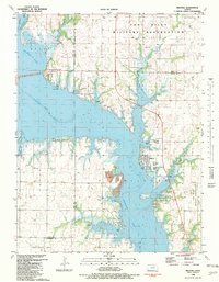 1982 Milford1982 Print · USGSMilford and the Republican River valley are shown here in the early eighties as a hub for both military operations and lakeside recreation. Researchers can trace the boundaries of the Fort Riley Military Reservation and locate local landmarks like the Milford Cem and Fragrant Hill.
 - 1985 Map of Manhattan, 1986 Print
 1985 Manhattan1986 Print · USGSThe Flint Hills and Kansas River valley are captured in the mid-eighties, showing the growth of Manhattan alongside major military and ecological preserves. Trace local history through the Union Pacific rail lines, the Treaty Boundary, and the infrastructure of Fort Riley.
 - 1990 Map of Manhattan
 1990 Manhattan1990 Print · USGSThe Kansas river valley and the Flint Hills uplands are captured here in the late twentieth century as the region balanced military expansion and water management. Trace the historic Union Pacific rail line through river towns like Wamego and St Marys, or explore the sprawling Fort Riley Military Reservation.
 - 1991 Map of Milford, 1995 Print
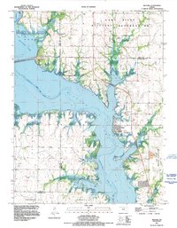 1991 Milford1995 Print · USGSMilford and the shores of the Republican River are shown here in the early nineties as the reservoir transformed the landscape. Researchers can trace the town of Milford and its Milford Cem, while exploring the vast Fort Riley Military Reservation.
 - 2010 Map of Milford, 2010 Print
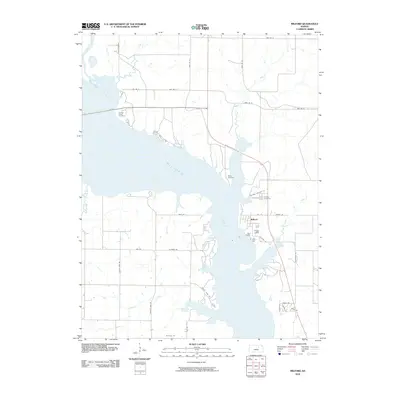 2010 Milford2010 Print · USGSThe eastern shores of Milford Lake and the town of Milford are shown in detail during the early twenty-first century. Family history researchers can locate Milford Cemetery, Timber Creek Cemetery, and several creek-side landmarks along the Republican River basin.
 - 2012 Map of Milford, 2012 Print
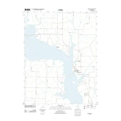 2012 Milford2012 Print · USGSThe waters of Milford Lake cover the Republican River valley in this 2012 survey of Geary County. Genealogists and historians can trace the locations of Indian Grave Monument, Milford Cem, and the old rural road network.
 - 2015 Map of Milford, 2015 Print
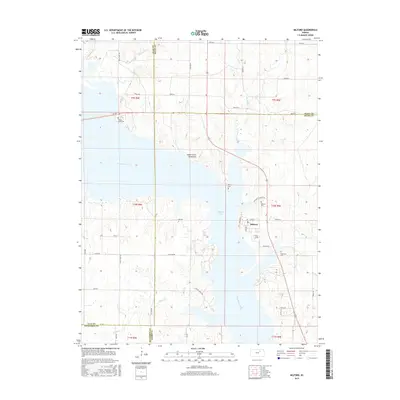 2015 Milford2015 Print · USGSMilford and the surrounding Kansas heartland are shown here in the mid-2010s, centered on the massive Milford Lake reservoir. Local historians can trace family roots at Timber Creek Cem or locate the site of the Indian Grave Monument.
 - 2018 Map of Milford, 2018 Print
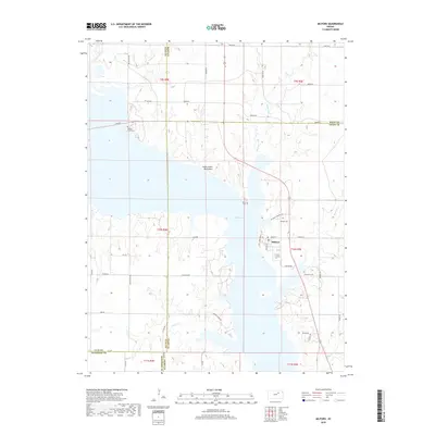 2018 Milford2018 Print · USGSMilford and the surrounding Geary County hills appear here as they are defined by the expansive waters of Milford Lake. Genealogists and historians can trace local family landmarks and burial sites like the Indian Grave Monument and Branscom Cemetery.
 - 2022 Map of Milford, 2022 Print
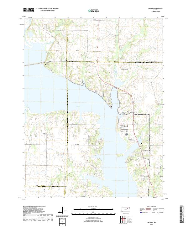 2022 Milford2022 Print · USGSThe Republican River valley and the town of Milford are shown here as they appear in the 2020s, following the creation of the massive reservoir. Genealogists can locate family landmarks such as Bransom Cem, Barry Cem, and the Milford Cemetery.
End of results
Showing maps 1-18 of 18
Top cities near Milford
- Manhattan historical maps
- Junction City historical maps
- Clay Center historical maps
- Chapman historical maps
- Chapman historical maps
- Ogden historical maps
See more
Frequently asked questions
- What are the different types of historical maps available for Milford?
- What is the oldest map of Milford?
- Where can I purchase historical maps of Milford for my home or office?
- Where can I download high-res historical maps of Milford?
- Are there historical topographic maps available for Milford?
- Is there historical aerial imagery available for Milford?
- Where are historical maps of Milford sourced from?