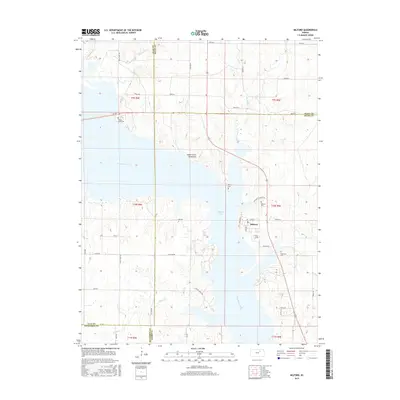
2015 Map of Milford
USGS Topo · Published 2015About this map
Milford Lake dominates the central landscape of this 2015 survey, a massive reservoir created by the damming of the Republican River. The town of Milford sits along the lake's eastern shore, characterized by a grid of streets including Lakeview St and Whiting St. The area's history is preserved through numerous rural burial grounds like Milford Cem and Branscom Cem, while the Indian Grave Monument stands on a peninsula as a significant local landmark. This modern edition captures the complex interaction between water management and historical land divisions, where several creek systems like Madison Creek and School Cr feed into the reservoir's convoluted shoreline. The map also delineates the convergence of Geary, Riley, Clay, and Dickinson counties, showing how these political boundaries intersect with the flooded valley.
Find a feature on this map
51 named features on this map. Tap any name to fly to it.
Don’t see what you’re looking for? This feature index may not catch every label — zoom into the map to look around manually.
Map Details
Editions of this 2015 Milford Map
This is the sole edition of this map. No revisions or reprints were ever made.
Other maps of this area

1886 · Junction City
USGS Topo · 1:125,000

1889 · Junction City
USGS Topo · 1:125,000

1891 · Clay Center
USGS Topo · 1:125,000

1894 · Junction City
USGS Topo · 1:125,000

1947 · Fort Riley
USGS Topo · 1:62,500

1950 · Junction City
USGS Topo · 1:24,000

1950 · Alida
USGS Topo · 1:24,000

1951 · Wind Creek
USGS Topo · 1:24,000

1951 · Milford
USGS Topo · 1:24,000

1955 · Fort Riley NE
USGS Topo · 1:24,000