Old Maps of Wreford, Kansas for Academic Research
Study the evolution of Wreford with 11 high-resolution historic maps. Whether you're teaching, researching, or modeling changes in land use, these maps provide essential visual documentation of urban, environmental, and geographic change.
- Analyze long-term change: Track patterns in development, transportation, and natural features.
- Ideal for environmental or urban studies: Support academic projects with primary historical map data.
- Use in the classroom or lab: Educators and researchers rely on these maps to bring historical context to life.
These maps are a powerful tool for teaching, research, and visualizing how Wreford has changed over the decades.
Wreford, KS maps
(11)- 1889 Map of Parkerville
 1889 Parkerville1889 Print · USGSMorris and Marion County townships appear here during the great western rail boom. Genealogists and historians can trace the early layouts of Parkerville, White City, and Herrington along the Chicago Kansas and Nebraska Railroad.
 - 1894 Map of Parkerville
 1894 Parkerville1894 Print · USGSEastern Kansas at the height of the steam era shows a landscape transformed by competing rail lines and growing prairie towns. Genealogists and historians can trace early settlements like White City, Parkerville, and the riverside hub of Council Grove.6 unique versions available
 - 1955 Map of Hutchinson, 1967 Print
 1955 Hutchinson1967 Print · USGSCentral Kansas in the mid-sixties reveals a landscape of growing reservoirs and evolving transportation corridors. Trace the development of towns like Hutchinson and Abilene alongside the Union Pacific Railroad and the expanding Interstate 70.3 unique versions available
 - 1959 Map of Hutchinson
 1959 Hutchinson1959 Print · USGSCentral Kansas thrives at the intersection of rail and river in the mid-1950s, as post-war aviation infrastructure reshapes the prairie. Genealogists and historians can trace the paths of the AT&SF RR through Newton and Hutchinson, or locate military sites like Smoky Hill Air Force Base.2 unique versions available
 - 1964 Map of Wreford, 1965 Print
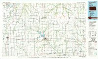
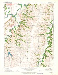 1964 Wreford1965 Print · USGSGeary County in the mid-1960s features a landscape shaped by the Smoky Hill River and established rail corridors. Genealogists and local historians can trace family roots through the Skiddy Cem, Salchow Cem, and the rural community at Wreford.
 - 1985 Map of Council Grove
 1985 Council Grove1985 Print · USGSThe Flint Hills region of Kansas thrives in the mid-1980s as a vital crossroads for major rail lines and prairie water systems. Researchers can trace the path of the Atchison Topeka and Santa Fe through small towns like Hope and Burdick or locate landmarks like Lake Kahola.2 unique versions available
 - 2009 Map of Wreford, 2009 Print
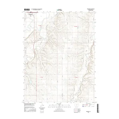
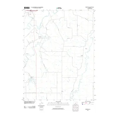 2009 Wreford2009 Print · USGSCovers Wreford, including Junction City, Geary County, and other nearby areas
 - 2012 Map of Wreford, 2012 Print
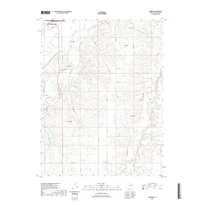
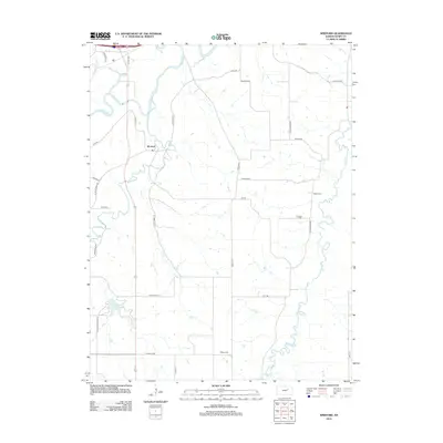 2012 Wreford2012 Print · USGSCovers Wreford, including Junction City, Geary County, and other nearby areas
 - 2015 Map of Wreford, 2015 Print
 2015 Wreford2015 Print · USGSCovers Wreford, including Junction City, Geary County, and other nearby areas
 - 2018 Map of Wreford, 2018 Print
 2018 Wreford2018 Print · USGSCovers Wreford, including Junction City, Geary County, and other nearby areas
 - 2022 Map of Wreford, 2022 Print
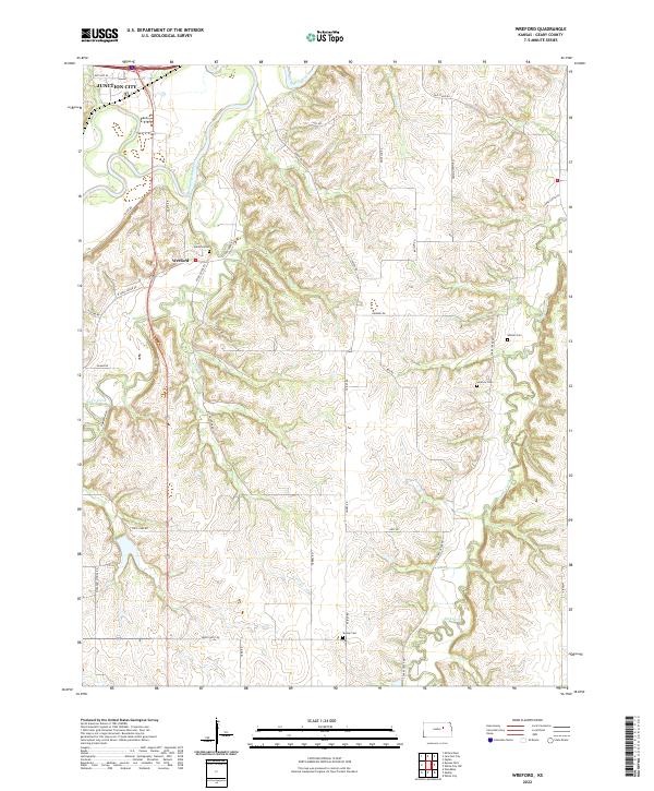 2022 Wreford2022 Print · USGSGeary County, Kansas, reveals its rural character and river-valley geography in this recent survey. Local historians can trace early travel routes and family ties at Wreford, Skiddy Cem, and along the historic Old Stage Rd.
End of results
Showing maps 1-11 of 11
Top cities near Wreford
- Manhattan historical maps
- Junction City historical maps
- Chapman historical maps
- Chapman historical maps
- Ogden historical maps
- Grandview Plaza historical maps
See more
Frequently asked questions
- What are the different types of historical maps available for Wreford?
- What is the oldest map of Wreford?
- Where can I purchase historical maps of Wreford for my home or office?
- Where can I download high-res historical maps of Wreford?
- Are there historical topographic maps available for Wreford?
- Is there historical aerial imagery available for Wreford?
- Where are historical maps of Wreford sourced from?