Old Maps of Gove City, Kansas for Academic Research
Study the evolution of Gove City with 15 high-resolution historic maps. Whether you're teaching, researching, or modeling changes in land use, these maps provide essential visual documentation of urban, environmental, and geographic change.
- Analyze long-term change: Track patterns in development, transportation, and natural features.
- Ideal for environmental or urban studies: Support academic projects with primary historical map data.
- Use in the classroom or lab: Educators and researchers rely on these maps to bring historical context to life.
These maps are a powerful tool for teaching, research, and visualizing how Gove City has changed over the decades.
Gove City, KS maps
(15)- 1955 Map of Scott City, 1969 Print
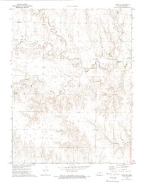
 1955 Scott City1969 Print · USGSWestern Kansas in the mid-fifties is captured here as a landscape of rural schoolhouses and significant rail corridors. Family historians can trace the locations of Skyline and Beaver Creek Schools or follow the Union Pacific line through Oakley and Sharon Springs.4 unique versions available
 - 1958 Map of Scott City
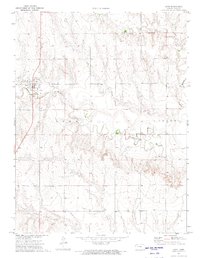
 1958 Scott City1958 Print · USGSWestern Kansas at the peak of the post-war era reveals a landscape of high-plains agriculture and vital rail junctions. Genealogists and historians can trace old country school sites like Prairie Bell School, the landmark Chalk Pyramids, and small stops along the Union Pacific and Missouri Pacific.
 - 1972 Map of Orion NE, 1974 Print
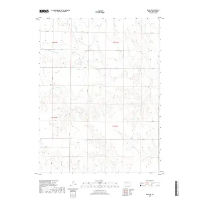
 1972 Orion NE1974 Print · USGSGove County in the early 1970s displays a rural landscape shaped by the winding branches of Hackberry Creek. Researchers can trace the layout of Gove (Gove City) and locate local industrial sites like the Quarry or Gravel Pit along the prairie breaks.
 - 1972 Map of Gove, 1974 Print
 1972 Gove1974 Print · USGSThe High Plains of western Kansas are documented here in the early 1970s, centered on the community of Gove (Gove City). Genealogists and local historians can trace the rural landscape through the Gove Cem and the drainage of Hackberry Creek.
 - 1985 Map of Healy
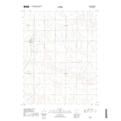
 1985 Healy1985 Print · USGSWestern Kansas in the mid-1980s shows a landscape where pioneer history and the railroad era overlap. Genealogists and historians can trace the Butterfield Overland Trail near Castle Rock or locate rural family outposts near Gove City and Arnold.2 unique versions available
 - 2009 Map of Orion NE, 2009 Print
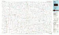
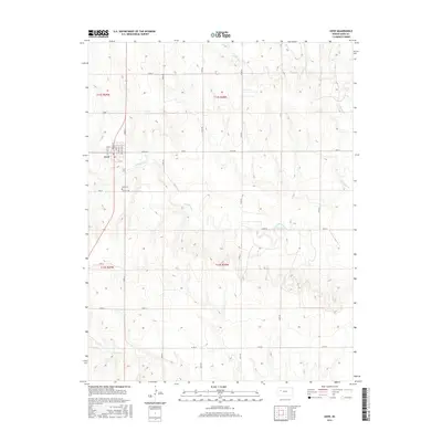
 2009 Orion NE2009 Print · USGSCovers Gove City, including Gove County, United States, and other nearby areas
 - 2009 Map of Gove, 2009 Print
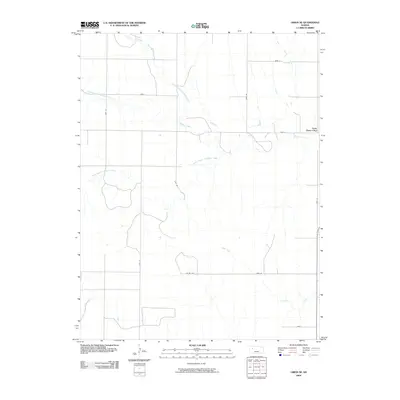
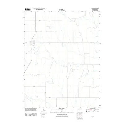
 2009 Gove2009 Print · USGSCovers Gove City, including Gove, Gove County, and other nearby areas
 - 2012 Map of Gove, 2012 Print
 2012 Gove2012 Print · USGSCovers Gove City, including Gove, Gove County, and other nearby areas
 - 2012 Map of Orion NE, 2012 Print
 2012 Orion NE2012 Print · USGSCovers Gove City, including Gove County, United States, and other nearby areas
 - 2015 Map of Orion NE, 2015 Print
 2015 Orion NE2015 Print · USGSCovers Gove City, including Gove County, United States, and other nearby areas
 - 2015 Map of Gove, 2015 Print
 2015 Gove2015 Print · USGSCovers Gove City, including Gove, Gove County, and other nearby areas
 - 2018 Map of Gove, 2018 Print
 2018 Gove2018 Print · USGSCovers Gove City, including Gove, Gove County, and other nearby areas
 - 2018 Map of Orion NE, 2018 Print
 2018 Orion NE2018 Print · USGSCovers Gove City, including Gove County, United States, and other nearby areas
 - 2022 Map of Gove, 2022 Print
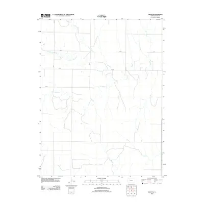
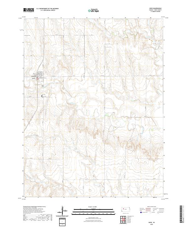 2022 Gove2022 Print · USGSGove City and the surrounding high plains are captured here in the early twenty-first century. Researchers can trace the town's small grid and find the Gove County Courthouse or follow the paths of Hackberry Cr and Indian Cr.
 - 2022 Map of Orion NE, 2022 Print
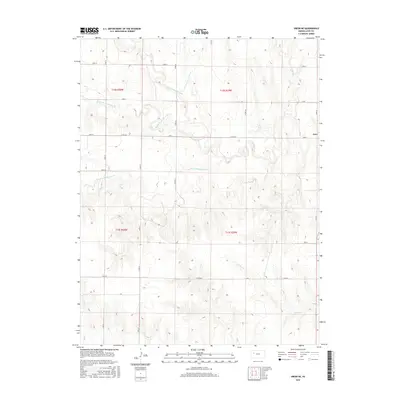
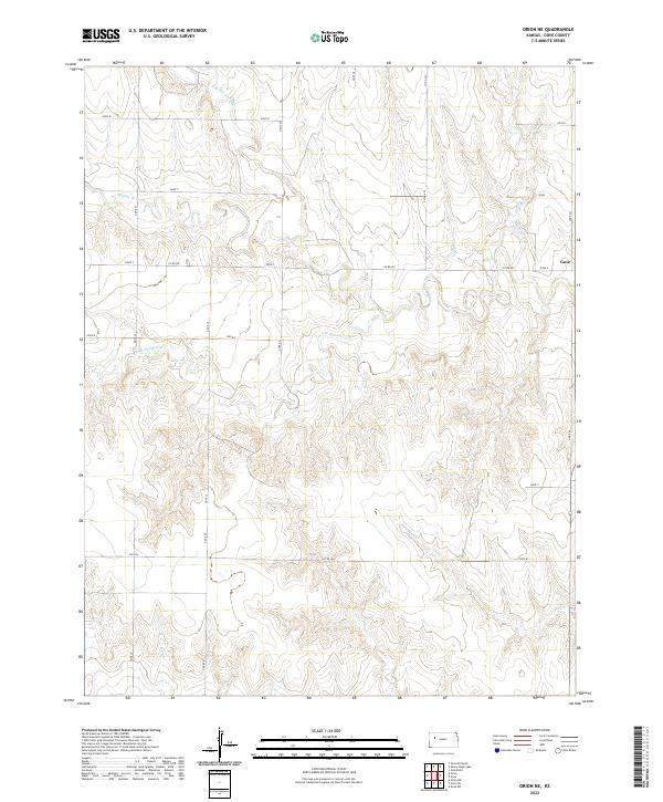 2022 Orion NE2022 Print · USGSGove County's high plains landscape is captured in the early twenty-first century, showing the intricate drainage of the Hackberry Cr watershed. Researchers can trace the paths of Middle Br Hackberry Cr and Indian Cr across the rural section line roads.
End of results
Showing maps 1-15 of 15
Top cities near Gove City
Top neighborhoods of Gove City
Frequently asked questions
- What are the different types of historical maps available for Gove City?
- What is the oldest map of Gove City?
- Where can I purchase historical maps of Gove City for my home or office?
- Where can I download high-res historical maps of Gove City?
- Are there historical topographic maps available for Gove City?
- Is there historical aerial imagery available for Gove City?
- Where are historical maps of Gove City sourced from?