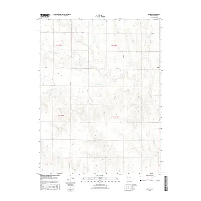
2015 Map of Orion NE
USGS Topo · Published 2015About this map
The Hackberry Cr drainage system carves a complex network of tributaries across this corner of Gove County, defining the rural character of the High Plains landscape. The map detail shows the distinct paths of the North Br Hackberry Cr, Middle Br Hackberry Cr, and South Br Hackberry Cr as they converge, while Indian Cr and W Spring Cr drain the surrounding prairie. This area is organized by a strict grid of section lines and county routes, including Co Rd 452 and Co Rd 466, which provide access to the expansive agricultural lands. The geography reflects a late-period survey of a region where the land use remains tied to the natural watercourses and the township-range system, specifically spanning portions of t12s r29w and t13s r30w.
Find a feature on this map
25 named features on this map. Tap any name to fly to it.
Don’t see what you’re looking for? This feature index may not catch every label — zoom into the map to look around manually.
Map Details
Editions of this 2015 Orion NE Map
This is the sole edition of this map. No revisions or reprints were ever made.
Other maps of this area

1954 · Goodland
USGS Topo · 1:250,000

1955 · Scott City
USGS Topo · 1:250,000

1956 · Goodland
USGS Topo · 1:250,000

1957 · Goodland
USGS Topo · 1:250,000

1958 · Scott City
USGS Topo · 1:250,000
1972 · Orion NE
USGS Topo · 1:24,000
1972 · Gove
USGS Topo · 1:24,000
1972 · Orion
USGS Topo · 1:24,000
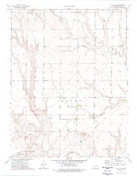
1974 · Gove SW
USGS Topo · 1:24,000
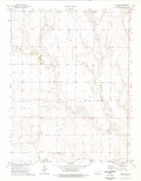
1974 · Orion SE
USGS Topo · 1:24,000