
1972 Map of Orion
USGS Topo · Published 1974About this map
Orion stands as a quiet focal point in Gove County, where the High Plains landscape is deeply incised by the drainage systems of Middle Branch Hackberry Creek and South Branch Hackberry Creek. This 1972 field-checked survey reveals a rural landscape defined by sections of the Gove and Gaeland townships. The topographic detail highlights the intricate erosion patterns of the creek branches as they move eastward across the plains, creating a series of draws and ridges that stand in contrast to the flat upland fields. Several wells are noted across the terrain, indicating the importance of groundwater management in this agricultural region. To the south, the terrain descends toward the valley of Plum Creek, illustrating the natural watercourses that have shaped both the physical geography and the settlement patterns of western Kansas.
Find a feature on this map
7 named features on this map. Tap any name to fly to it.
Don’t see what you’re looking for? This feature index may not catch every label — zoom into the map to look around manually.
Map Details
Editions of this 1972 Orion Map
This is the sole edition of this map. No revisions or reprints were ever made.
Other maps of this area

1954 · Goodland
USGS Topo · 1:250,000

1955 · Scott City
USGS Topo · 1:250,000

1956 · Goodland
USGS Topo · 1:250,000

1957 · Goodland
USGS Topo · 1:250,000

1958 · Scott City
USGS Topo · 1:250,000

1972 · Orion NE
USGS Topo · 1:24,000

1972 · Elkader NE
USGS Topo · 1:24,000
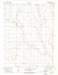
1974 · Orion SE
USGS Topo · 1:24,000

1974 · Elkader
USGS Topo · 1:24,000
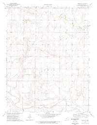
1974 · Orion SW
USGS Topo · 1:24,000