Old Maps of Copeland, Kansas for Metal Detecting
Plan your next treasure hunt with 17 historic maps of Copeland. Find old homesites, ghost towns, trails, and gathering spots that may be lost to time — perfect for identifying promising metal detecting locations.
- Locate forgotten sites: Uncover places like long-lost settlements, abandoned rail lines, or gathering spots.
- Plan better hunts: Use map overlays combined with LiDAR or satellite views to narrow in on historically rich areas.
- Made for detectorists: Thousands of hobbyists use these maps to discover relics, coins, and hidden history.
Use these historic maps to boost your research and find new opportunities beneath the surface of Copeland.
Copeland, KS maps
(17)- 1896 Map of Garden
 1896 Garden1896 Print · USGSFinney and Haskell counties come into focus during the late nineteenth century as the railroad transformed the High Plains. Genealogists and researchers can trace the early footprints of Garden and Santa Fe or locate prairie outposts like Ivanhoe and Pierceville.4 unique versions available
 - 1955 Map of Dodge City, 1968 Print
 1955 Dodge City1968 Print · USGSSouthwest Kansas in the mid-fifties reveals an expansive landscape of cattle towns, early gas fields, and prairie outposts. Researchers can trace rural school districts like Moundview and Good Luck or locate the Kansas State Game Farm near Lakin.3 unique versions available
 - 1958 Map of Dodge City
 1958 Dodge City1958 Print · USGSSouthwest Kansas in the late fifties shows a landscape of river-valley agriculture and burgeoning energy infrastructure. Genealogists can trace rural life through numerous landmarks like Fairview Cemetery, the Goodwell School, and Concord Church.
 - 1959 Map of Dodge City
 1959 Dodge City1959 Print · USGSSouthwest Kansas in the mid-fifties is captured at its agricultural height, centered on the vital rail and river hubs of Dodge City and Garden City. Genealogists and local historians can trace rural school districts like Shockey School and Hickok School or locate the Fairview Cemetery.
 - 1969 Map of Copeland SE, 1971 Print
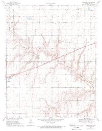 1969 Copeland SE1971 Print · USGSGray County, Kansas, is captured in the late sixties as a landscape defined by industrial transit and prairie drainage. Genealogists and historians can trace the diagonal path of the Atchison Topeka and Santa Fe railroad near Copeland and the course of Crooked Creek.
 - 1969 Map of Copeland, 1971 Print
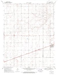 1969 Copeland1971 Print · USGSGray and Haskell counties show their agricultural foundations in the late sixties as the railroad drives local commerce. Genealogists and researchers can trace property lines through Lockport and locate features like the Cem and the siding at Tice.
 - 1985 Map of Dodge City
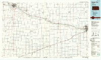 1985 Dodge City1985 Print · USGSSouthwest Kansas in the mid-1980s was a landscape defined by the Arkansas River and the legacy of the rail. Researchers can trace the layout of Dodge City, find the Finney County State Game Refuge, and locate rural hubs like Montezuma and Cimarron.2 unique versions available
 - 2009 Map of Copeland SE, 2009 Print
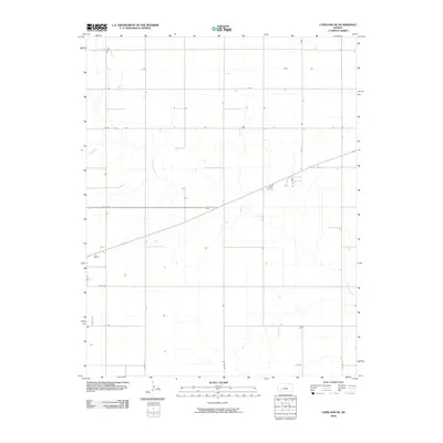 2009 Copeland SE2009 Print · USGSGray County’s agricultural heartland is documented here in the early twenty-first century, showing the intersection of prairie hydrology and rural infrastructure. Genealogists and historians can trace property boundaries and access routes along Crooked Creek, E E Rd, and Co Rd 8.
 - 2009 Map of Copeland, 2009 Print
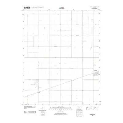 2009 Copeland2009 Print · USGSThe High Plains of Gray County are documented here in the early 2000s, showing the agricultural grid and transit routes. Genealogists and researchers can trace the street layouts of Copeland and the settlement of Tice along with rural corridors like Co Rd 120.
 - 2012 Map of Copeland SE, 2012 Print
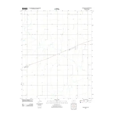 2012 Copeland SE2012 Print · USGSGray County’s agricultural landscape is documented here in the early twenty-first century, showing the intersection of rural infrastructure and prairie drainage. Trace the winding course of Crooked Cr as it crosses the grid of section roads like Fry Rd and Cc Rd.
 - 2012 Map of Copeland, 2012 Print
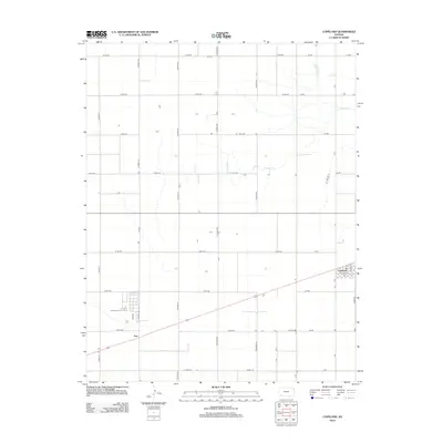 2012 Copeland2012 Print · USGSThe Kansas plains of Gray County are defined here by the town of Copeland and the surrounding agricultural grid. Genealogists and local historians can trace the early 21st-century layout of Tice, locate the PO, and follow the meandering path of Crooked Cr.
 - 2016 Map of Copeland SE, 2016 Print
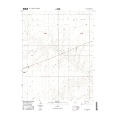 2016 Copeland SE2016 Print · USGSThe high plains of Gray County are documented here in the mid-2010s, showing a landscape defined by industrial agriculture and the quiet community of Copeland. Family historians and researchers can trace local landmarks like Copeland Cem and the wandering path of Crooked Cr.
 - 2016 Map of Copeland, 2016 Print
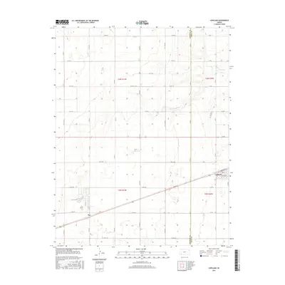 2016 Copeland2016 Print · USGSGray and Haskell counties show their modern agricultural character in this mid-2010s survey of the Kansas plains. Researchers can trace the layout of Copeland and Tice, or locate family sites along Crooked Cr and the extensive county road network.
 - 2018 Map of Copeland, 2018 Print
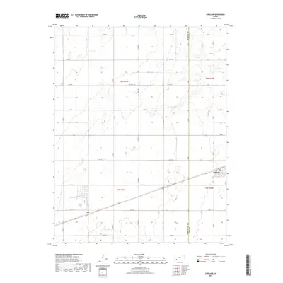 2018 Copeland2018 Print · USGSThe borderlands of Haskell and Gray County are captured here in the late twenty-tens, showing a high plains landscape of deep-rooted agriculture. Genealogists and local historians can trace the streets of Copeland or follow the path of Crooked Cr and the hamlet of Tice.
 - 2018 Map of Copeland SE, 2018 Print
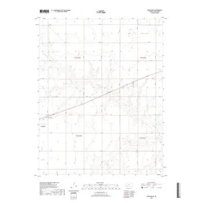 2018 Copeland SE2018 Print · USGSGray County's agricultural grid and prairie drainage are captured here in the years following the millennium. Genealogists and local researchers can trace the vicinity of Copeland and find burial records at Copeland Cem or follow the path of Crooked Cr.
 - 2022 Map of Copeland, 2022 Print
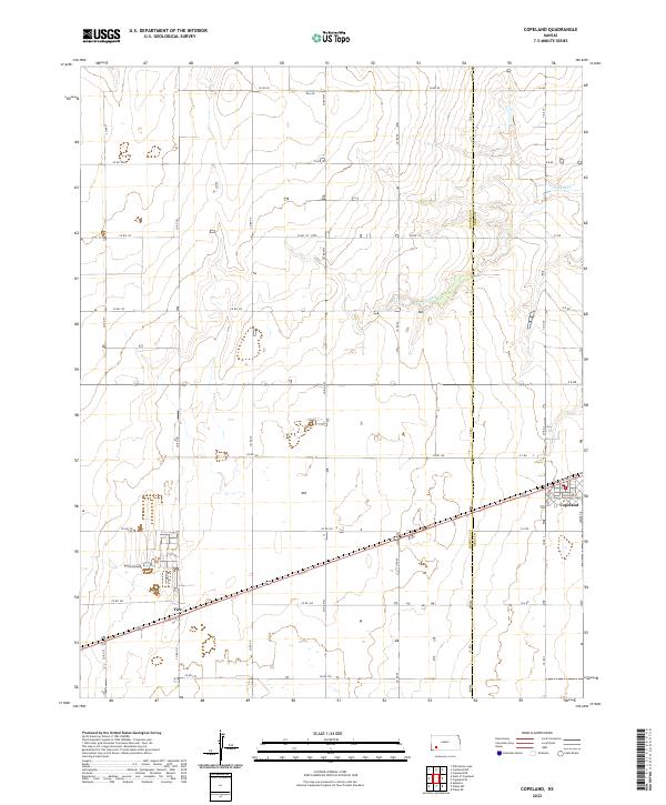 2022 Copeland2022 Print · USGSThe High Plains of Western Kansas are documented here in recent years, showing the precise intersection of Copeland and the neighboring community of Tice. Researchers can trace local property lines and roads like Somer Dr and follow the natural drainage of Crooked Cr.
 - 2022 Map of Copeland SE, 2022 Print
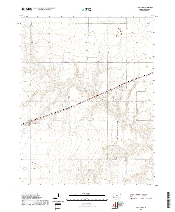 2022 Copeland SE2022 Print · USGSThe rural landscape of Gray County in the 2020s is defined by its vast agricultural grid and the winding path of Crooked Cr. Local researchers can locate the town of Copeland and the nearby Copeland Cem at the intersection of a well-developed network of section-line roads.
End of results
Showing maps 1-17 of 17
Top cities near Copeland
Frequently asked questions
- What are the different types of historical maps available for Copeland?
- What is the oldest map of Copeland?
- Where can I purchase historical maps of Copeland for my home or office?
- Where can I download high-res historical maps of Copeland?
- Are there historical topographic maps available for Copeland?
- Is there historical aerial imagery available for Copeland?
- Where are historical maps of Copeland sourced from?