Old Maps of Hawk, Kansas for Academic Research
Study the evolution of Hawk with 12 high-resolution historic maps. Whether you're teaching, researching, or modeling changes in land use, these maps provide essential visual documentation of urban, environmental, and geographic change.
- Analyze long-term change: Track patterns in development, transportation, and natural features.
- Ideal for environmental or urban studies: Support academic projects with primary historical map data.
- Use in the classroom or lab: Educators and researchers rely on these maps to bring historical context to life.
These maps are a powerful tool for teaching, research, and visualizing how Hawk has changed over the decades.
Hawk, KS maps
(12)- 1889 Map of Caldwell, 1957 Print
 1889 Caldwell1957 Print · USGSSouthern Kansas is captured in the late 1880s as the arrival of several major railroads began to spur the growth of new prairie towns. Researchers can locate early depots and homesteads in Caldwell, Conway Springs, and Runnymede.
 - 1893 Map of Caldwell
 1893 Caldwell1893 Print · USGSSouthern Kansas is captured during the rapid railroad expansion of the late nineteenth century, showing a landscape defined by new towns and steel rails. Genealogists can trace family roots through early settlements like Caldwell, Conway Springs, and Bluff City along the Chicaskia River.
 - 1897 Map of Caldwell
 1897 Caldwell1897 Print · USGSThe Kansas borderlands come alive in the late nineteenth century as a bustling network of railroads and prairie settlements. Genealogists and researchers can trace early homesteads and rail stops near Caldwell, Argonia, and the notable colonial experiment of Runnymede.10 unique versions available
 - 1955 Map of Wichita, 1959 Print
 1955 Wichita1959 Print · USGSSouth-central Kansas comes alive in the mid-1950s as Wichita grows into its role as a regional industrial and military powerhouse. Trace the rail-and-river network connecting El Dorado and Arkansas City through the Atchison Topeka and Santa Fe lines.3 unique versions available
 - 1958 Map of Wichita
 1958 Wichita1958 Print · USGSSouth Central Kansas in the late fifties was a landscape of aviation industry, oil exploration, and expanding turnpikes. Researchers can trace mid-century growth through McConnell Air Force Base, major facilities for Cessna Aircraft Company, and the active El Dorado Oil Field.
 - 1971 Map of Bluff City West, 1972 Print
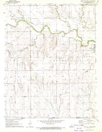 1971 Bluff City West1972 Print · USGSNear the southern Kansas border in the early seventies, this region reveals a landscape of prairie agriculture and winding creek beds. Genealogists and historians can trace the Old Indian Treaty Boundary and locate landmarks like Wilcox Landing Field or the Atchison Topeka and Santa Fe rail line.
 - 1985 Map of Wellington
 1985 Wellington1985 Print · USGSSouthern Kansas in the mid-eighties reveals a landscape shaped by historical lines and rail commerce, from Wellington to the Arkansas River. Researchers can trace the Old Indian Treaty Boundary and locate family sites near Prairie Lawn Cem or Bluff City.2 unique versions available
 - 2009 Map of Bluff City West, 2009 Print
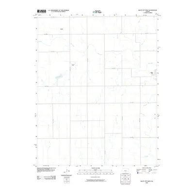 2009 Bluff City West2009 Print · USGSSouthern Kansas prairie and family farms are captured here in the early twenty-first century, showing the enduring rural grid of Harper County. Genealogists and local historians can trace the landscape around Bluff City and Hawk or locate landmarks like Wilcox Field.
 - 2012 Map of Bluff City West, 2012 Print
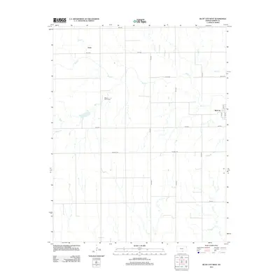 2012 Bluff City West2012 Print · USGSBluff City and the surrounding Harper County prairie appear here in the early twenty-first century, defined by a rigid road grid and winding creek beds. Researchers can locate Wilcox Field Airport and trace the paths of Bluff Cr and Hawk.
 - 2015 Map of Bluff City West, 2015 Print
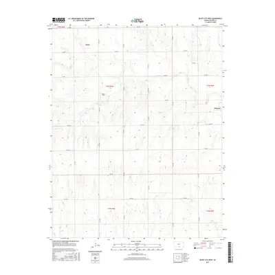 2015 Bluff City West2015 Print · USGSSouthern Kansas farm country is captured here during the mid-2010s, showing a landscape defined by prairie creeks and section lines. Researchers can locate rural landmarks like Wilcox Field, the settlement of Hawk, and the town of Bluff City along the banks of Bluff Cr.
 - 2018 Map of Bluff City West, 2018 Print
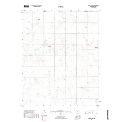 2018 Bluff City West2018 Print · USGSSouthern Kansas farm country is captured here in the late 2010s, showing the intersection of rural townships and winding prairie streams. Genealogists and local historians can trace the area around Bluff City, the settlement of Hawk, and family-run Wilcox Field.
 - 2022 Map of Bluff City West, 2022 Print
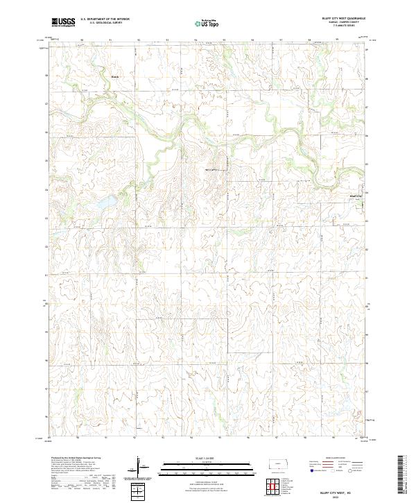 2022 Bluff City West2022 Print · USGSHarper County agricultural lands are documented here in the early twenty-first century, showing the enduring grid of prairie life. Genealogists can locate family farmsteads near Bluff City or trace the drainage of Bluff Cr and the settlement of Hawk.
End of results
Showing maps 1-12 of 12
Top cities near Hawk
- Anthony historical maps
- Harper historical maps
- Argonia historical maps
- Wakita historical maps
- Manchester historical maps
- Bluff City historical maps
See more
Frequently asked questions
- What are the different types of historical maps available for Hawk?
- What is the oldest map of Hawk?
- Where can I purchase historical maps of Hawk for my home or office?
- Where can I download high-res historical maps of Hawk?
- Are there historical topographic maps available for Hawk?
- Is there historical aerial imagery available for Hawk?
- Where are historical maps of Hawk sourced from?