Old Maps of Burr Oak, Kansas for Metal Detecting
Plan your next treasure hunt with 16 historic maps of Burr Oak. Find old homesites, ghost towns, trails, and gathering spots that may be lost to time — perfect for identifying promising metal detecting locations.
- Locate forgotten sites: Uncover places like long-lost settlements, abandoned rail lines, or gathering spots.
- Plan better hunts: Use map overlays combined with LiDAR or satellite views to narrow in on historically rich areas.
- Made for detectorists: Thousands of hobbyists use these maps to discover relics, coins, and hidden history.
Use these historic maps to boost your research and find new opportunities beneath the surface of Burr Oak.
Burr Oak, KS maps
(16)- 1894 Map of Mankato
 1894 Mankato1894 Print · USGSJewell and Mitchell Counties come into focus during the late nineteenth-century expansion of the Kansas rail network. Genealogists and historians can trace the early development of Mankato, Burr Oak, and Cawker along the vital lines of the Missouri Pacific Railway.4 unique versions available
 - 1955 Map of Beloit, 1971 Print
 1955 Beloit1971 Print · USGSNorth Central Kansas in the mid-fifties shows a landscape of river-valley agriculture and expanding water infrastructure. Genealogists can trace the rail lines of the Union Pacific through towns like Nicodemus, Cawker City, and the State Sanatorium.3 unique versions available
 - 1959 Map of Beloit
 1959 Beloit1959 Print · USGSNorth Central Kansas at mid-century reveals a landscape shaped by river valleys and the expansion of massive water reservoirs. Genealogists and historians can trace the rail-town connections of Beloit and Norton or locate the site of the new Webster Dam.3 unique versions available
 - 1968 Map of Burr Oak, 1971 Print
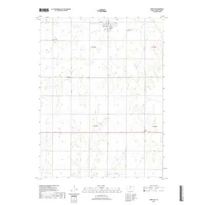
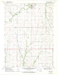 1968 Burr Oak1971 Print · USGSJewell County's rolling farmland and rail corridors are frozen in time during the late sixties. Genealogists and historians can locate rural homesteads and trace the Chicago Rock Island and Pacific line between Otego and Burr Oak.
 - 1969 Map of North Branch, 1971 Print
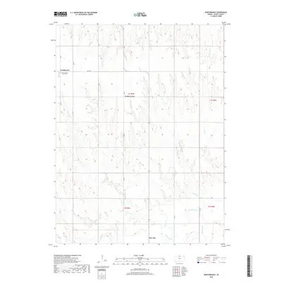
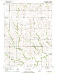 1969 North Branch1971 Print · USGSThe Kansas-Nebraska borderlands in the late sixties are captured here, centered on the farming communities of northern Jewell County. Genealogists and local historians can trace the rural layouts of North Branch, Burr Oak, and Wesley Center alongside several local Quarry sites.
 - 1985 Map of Smith Center
 1985 Smith Center1985 Print · USGSNorth Central Kansas in the mid-eighties shows a landscape of small agricultural hubs like Smith Center and Mankato linked by the Missouri Pacific line. Researchers can locate the Geographic Center of 48 States and trace family roots near Fairview Cem or along Waconda Lake.2 unique versions available
 - 2009 Map of Burr Oak, 2009 Print
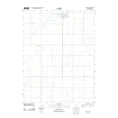
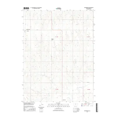
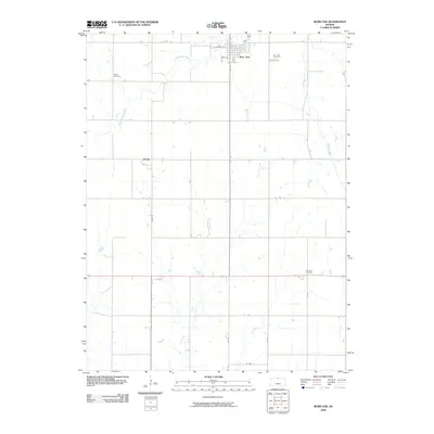 2009 Burr Oak2009 Print · USGSCovers Burr Oak, including Otego, Jewell County, and other nearby areas
 - 2010 Map of Northbranch, 2010 Print
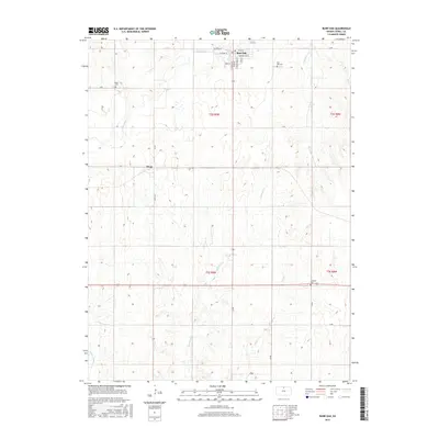
 2010 Northbranch2010 Print · USGSCovers Burr Oak, including Wesley Center, Northbranch, and other nearby areas
 - 2012 Map of Northbranch, 2012 Print
 2012 Northbranch2012 Print · USGSCovers Burr Oak, including Wesley Center, Northbranch, and other nearby areas
 - 2012 Map of Burr Oak, 2012 Print
 2012 Burr Oak2012 Print · USGSCovers Burr Oak, including Otego, Jewell County, and other nearby areas
 - 2015 Map of Burr Oak, 2015 Print
 2015 Burr Oak2015 Print · USGSCovers Burr Oak, including Otego, Jewell County, and other nearby areas
 - 2016 Map of Northbranch, 2016 Print
 2016 Northbranch2016 Print · USGSCovers Burr Oak, including Wesley Center, Northbranch, and other nearby areas
 - 2018 Map of Burr Oak, 2018 Print
 2018 Burr Oak2018 Print · USGSCovers Burr Oak, including Otego, Jewell County, and other nearby areas
 - 2018 Map of Northbranch, 2018 Print
 2018 Northbranch2018 Print · USGSCovers Burr Oak, including Wesley Center, Northbranch, and other nearby areas
 - 2022 Map of Burr Oak, 2022 Print
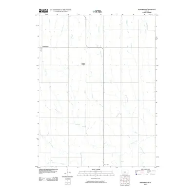
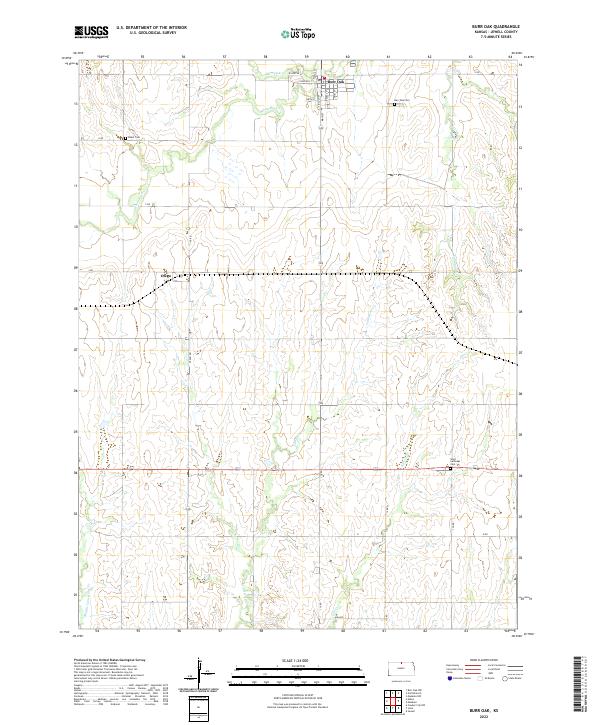 2022 Burr Oak2022 Print · USGSJewell County's agricultural heartland is captured here in the early twenty-first century, centered on the town of Burr Oak. Researchers can trace local heritage through landmarks like Baker Cem and the small community of Otego along the section lines.
 - 2022 Map of Northbranch, 2022 Print
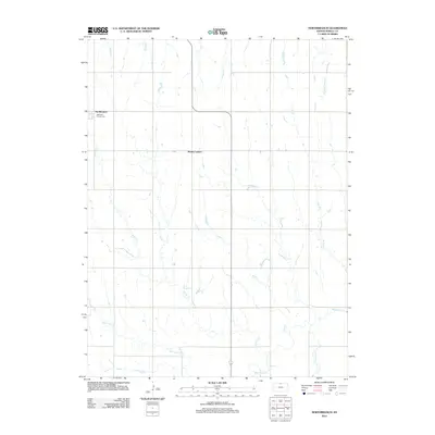
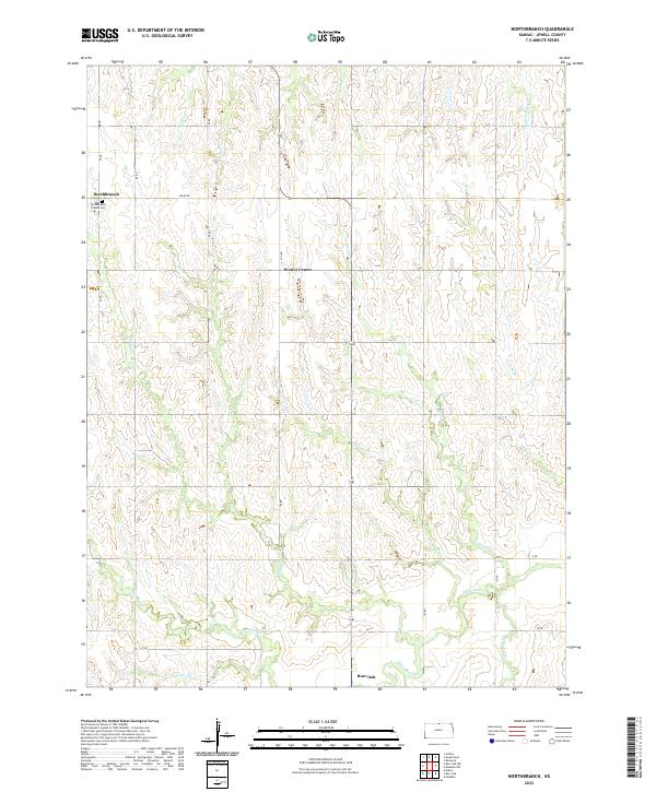 2022 Northbranch2022 Print · USGSJewell County, Kansas, is documented here in the early 2020s, showing a landscape of traditional agricultural grids and winding creek valleys. Genealogists and local historians can trace family locations near Northbranch Friends Cem or follow the waters of White Rock Cr and Walnut Cr.
End of results
Showing maps 1-16 of 16
Top cities near Burr Oak
- Superior historical maps
- Red Cloud historical maps
- Mankato historical maps
- Jewell historical maps
- Guide Rock historical maps
- Esbon historical maps
See more
Frequently asked questions
- What are the different types of historical maps available for Burr Oak?
- What is the oldest map of Burr Oak?
- Where can I purchase historical maps of Burr Oak for my home or office?
- Where can I download high-res historical maps of Burr Oak?
- Are there historical topographic maps available for Burr Oak?
- Is there historical aerial imagery available for Burr Oak?
- Where are historical maps of Burr Oak sourced from?