2000s (21st Century) Maps of Meadowridge, Olathe
Explore 10 historic maps of Meadowridge from the 2000s (21st Century). These maps offer a rare glimpse into what life looked like during the 2000s — showing old roads, neighborhoods, homes, and landmarks that have changed or disappeared over time.
Whether you're researching your family's past, planning a metal detecting trip, or studying how Meadowridge's landscape evolved across the 2000s, these high-resolution maps are a powerful tool for exploring the history of this region.
- Focus on a specific era: All maps on this page are from the 2000s, giving you a focused view of this time period.
- See what’s changed: Compare century-old streets, trails, and buildings to today's modern landscape using overlays and satellite layers.
- Research with precision: Use these maps for genealogy, historical research, land use analysis, or educational projects.
- View, download, or print: Maps are fully viewable online in high resolution, and can be downloaded or printed for your own records.
Start exploring Meadowridge's history through authentic maps from the 2000s. This is your window into the past.
Meadowridge, Olathe maps
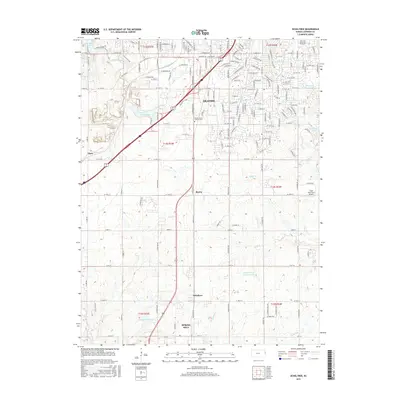
(10)- 2009 Map of Ocheltree, 2009 Print
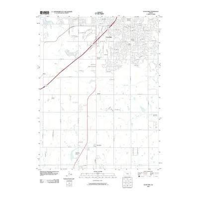 2009 Ocheltree2009 Print · USGSCovers Meadowridge, including Overland Park, Olathe, and other nearby areas
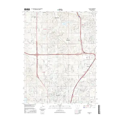
 - 2009 Map of Olathe, 2009 Print
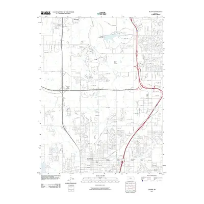 2009 Olathe2009 Print · USGSCovers Meadowridge, including Olathe, Shawnee, and other nearby areas
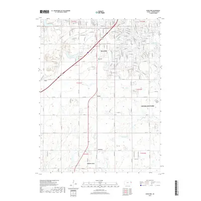
 - 2012 Map of Ocheltree, 2012 Print
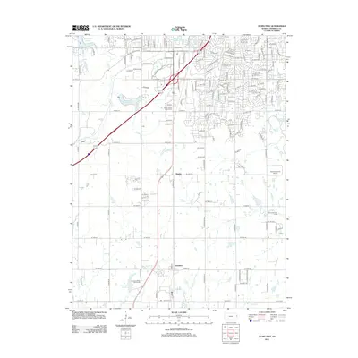 2012 Ocheltree2012 Print · USGSCovers Meadowridge, including Overland Park, Olathe, and other nearby areas
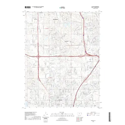
 - 2012 Map of Olathe, 2012 Print
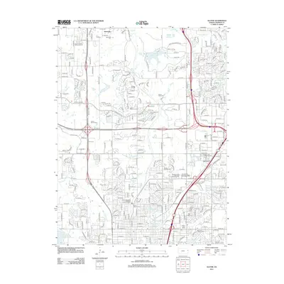 2012 Olathe2012 Print · USGSCovers Meadowridge, including Olathe, Shawnee, and other nearby areas
 - 2015 Map of Ocheltree, 2015 Print
 2015 Ocheltree2015 Print · USGSCovers Meadowridge, including Overland Park, Olathe, and other nearby areas
 - 2015 Map of Olathe, 2015 Print
 2015 Olathe2015 Print · USGSCovers Meadowridge, including Olathe, Shawnee, and other nearby areas
 - 2018 Map of Ocheltree, 2018 Print
 2018 Ocheltree2018 Print · USGSCovers Meadowridge, including Overland Park, Olathe, and other nearby areas
 - 2018 Map of Olathe, 2018 Print
 2018 Olathe2018 Print · USGSCovers Meadowridge, including Olathe, Shawnee, and other nearby areas
 - 2022 Map of Ocheltree, 2022 Print
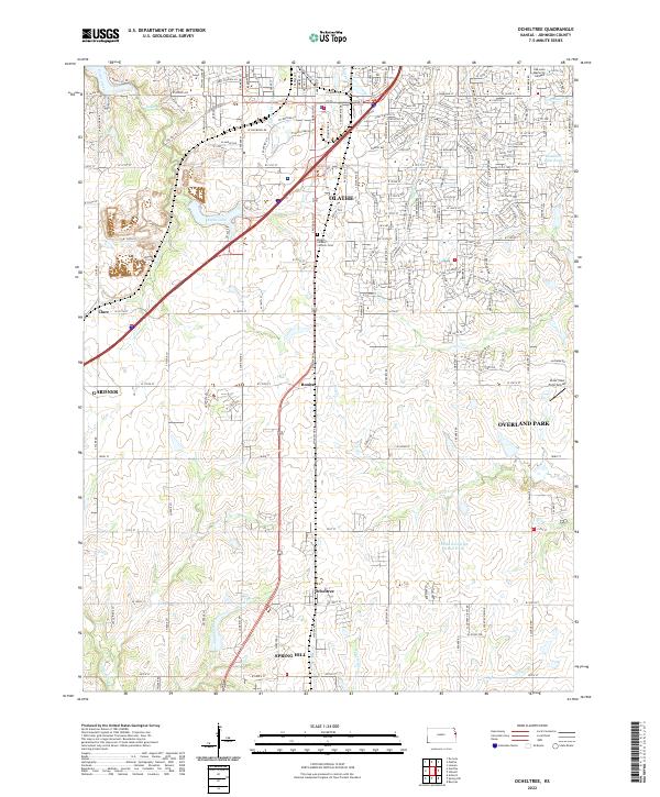 2022 Ocheltree2022 Print · USGSJohnson County experiences significant southern growth during this era, as the suburbs of Kansas City reach toward rural outposts. Local historians can trace the foundations of Ocheltree, Bonita, and Clare amidst modern landmarks like Olathe Lake.
 - 2022 Map of Olathe, 2022 Print
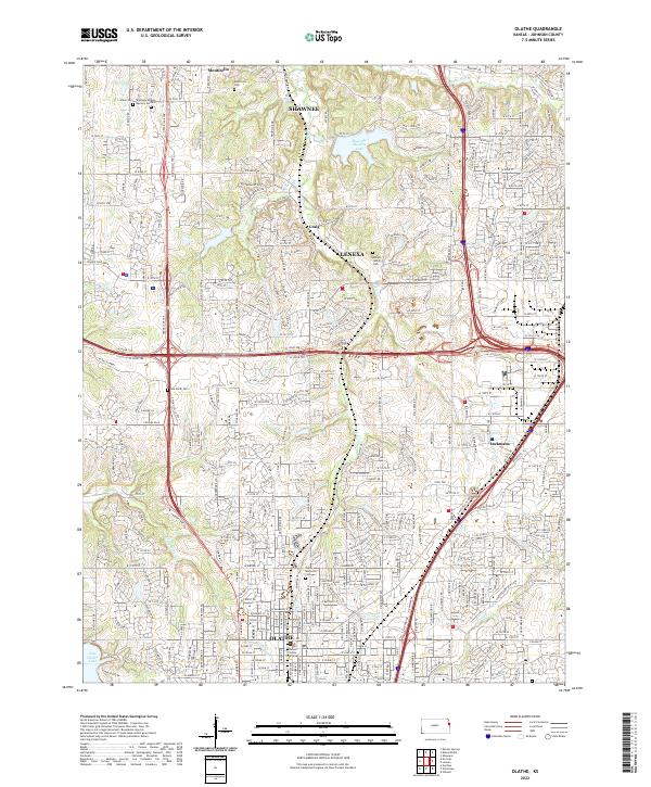 2022 Olathe2022 Print · USGSJohnson County is shown during its modern suburban era, where a dense network of residential streets and expressways has integrated older settlements. Genealogists and local historians can trace family sites at Maupin Family Cem, locate the Johnson County Courthouse, or follow the historic route of Santa Fe Trail Dr.
End of results
Showing maps 1-10 of 10
Frequently asked questions
- What are the different types of historical maps available for Meadowridge?
- What is the oldest map of Meadowridge?
- Where can I purchase historical maps of Meadowridge for my home or office?
- Where can I download high-res historical maps of Meadowridge?
- Are there historical topographic maps available for Meadowridge?
- Is there historical aerial imagery available for Meadowridge?
- Where are historical maps of Meadowridge sourced from?