2000s (21st Century) Maps of Oswego, Kansas
Explore 10 historic maps of Oswego from the 2000s (21st Century). These maps offer a rare glimpse into what life looked like during the 2000s — showing old roads, neighborhoods, homes, and landmarks that have changed or disappeared over time.
Whether you're researching your family's past, planning a metal detecting trip, or studying how Oswego's landscape evolved across the 2000s, these high-resolution maps are a powerful tool for exploring the history of this region.
- Focus on a specific era: All maps on this page are from the 2000s, giving you a focused view of this time period.
- See what’s changed: Compare century-old streets, trails, and buildings to today's modern landscape using overlays and satellite layers.
- Research with precision: Use these maps for genealogy, historical research, land use analysis, or educational projects.
- View, download, or print: Maps are fully viewable online in high resolution, and can be downloaded or printed for your own records.
Start exploring Oswego's history through authentic maps from the 2000s. This is your window into the past.
Oswego, KS maps
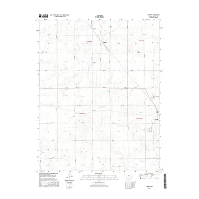
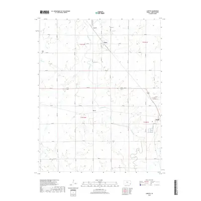
(10)- 2010 Map of Labette, 2010 Print
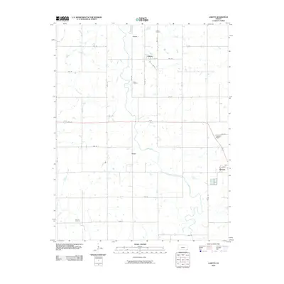 2010 Labette2010 Print · USGSCovers Oswego, including Labette, Stover, and other nearby areas
 - 2010 Map of Oswego, 2010 Print
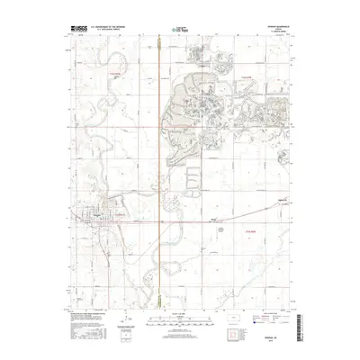
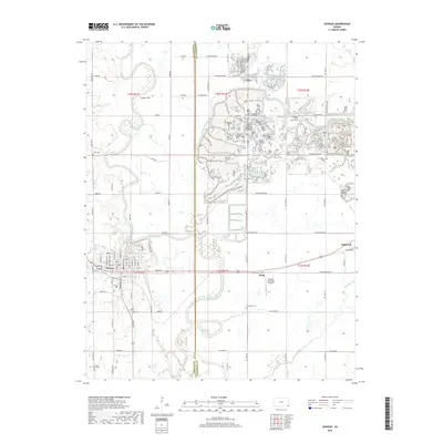
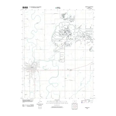 2010 Oswego2010 Print · USGSCovers Oswego, including Hoag, Labette County, and other nearby areas
 - 2012 Map of Labette, 2012 Print
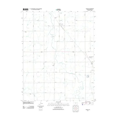 2012 Labette2012 Print · USGSCovers Oswego, including Labette, Stover, and other nearby areas
 - 2012 Map of Oswego, 2012 Print
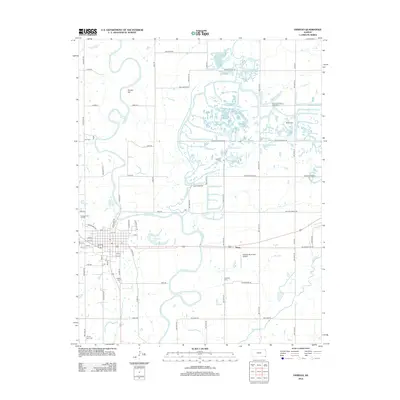 2012 Oswego2012 Print · USGSCovers Oswego, including Hoag, Labette County, and other nearby areas
 - 2015 Map of Oswego, 2015 Print
 2015 Oswego2015 Print · USGSCovers Oswego, including Hoag, Labette County, and other nearby areas
 - 2016 Map of Labette, 2016 Print
 2016 Labette2016 Print · USGSCovers Oswego, including Labette, Stover, and other nearby areas
 - 2018 Map of Labette, 2018 Print
 2018 Labette2018 Print · USGSCovers Oswego, including Labette, Stover, and other nearby areas
 - 2018 Map of Oswego, 2018 Print
 2018 Oswego2018 Print · USGSCovers Oswego, including Hoag, Labette County, and other nearby areas
 - 2022 Map of Labette, 2022 Print
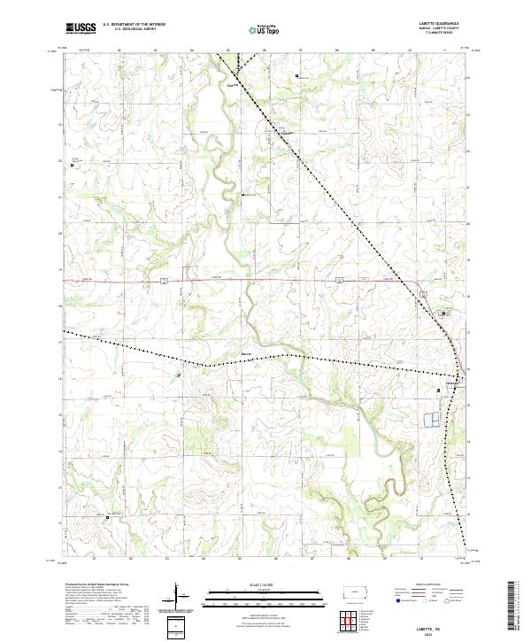 2022 Labette2022 Print · USGSLabette County, Kansas, is captured in this recent survey, showcasing the enduring agricultural grid and scattered rural settlements of the plains. Researchers can trace family history through numerous local sites including Labette Cem, Mason Cem, and the town of Oswego.
 - 2022 Map of Oswego, 2022 Print
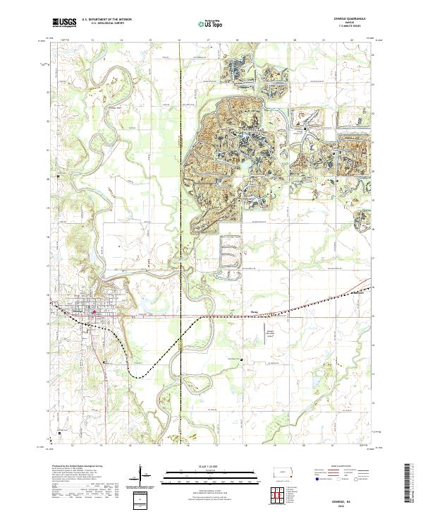 2022 Oswego2022 Print · USGSSoutheastern Kansas farmland meets the winding banks of the Neosho River in this 2020s landscape centered on the Labette County seat. Genealogists can trace family plots at Poor Boy Cem and Garrison Cem or locate historic landmarks like the Labette County Courthouse.
End of results
Showing maps 1-10 of 10
Top cities near Oswego
- Parsons historical maps
- Chetopa historical maps
- Altamont historical maps
- McCune historical maps
- West Mineral historical maps
- Montana historical maps
See more
Frequently asked questions
- What are the different types of historical maps available for Oswego?
- What is the oldest map of Oswego?
- Where can I purchase historical maps of Oswego for my home or office?
- Where can I download high-res historical maps of Oswego?
- Are there historical topographic maps available for Oswego?
- Is there historical aerial imagery available for Oswego?
- Where are historical maps of Oswego sourced from?