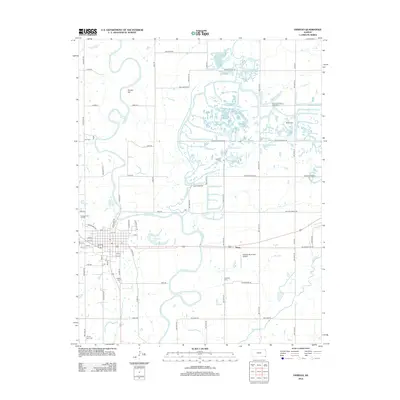
2012 Map of Oswego
USGS Topo · Published 2012About this map
Neosho River meanders sharply through the heart of Labette County, shaping a landscape defined by oxbows like Horseshoe Lake and the prominent rising of Timber Hill. The town of Oswego sits on the western bank, its residential grid ending where the river's floodplains begin. East of the river, the terrain is marked by a dense network of country roads and agricultural parcels, punctuated by numerous local burial grounds. These include the Friendship Friends Church Cem and McKee Cem near Deer Cr, along with Garrison Cem further south. The presence of County Farm Cem and Tibbets Cem near the town center provides significant points of interest for genealogists tracing early families. Infrastructure like the Oswego Municipal Airport and the small settlement of Hoag illustrate the area's modern development alongside traditional land use.
Find a feature on this map
73 named features on this map. Tap any name to fly to it.
Don’t see what you’re looking for? This feature index may not catch every label — zoom into the map to look around manually.
Map Details
Editions of this 2012 Oswego Map
This is the sole edition of this map. No revisions or reprints were ever made.
Other maps of this area
1886 · Joplin
USGS Topo · 1:125,000
1886 · Parsons
USGS Topo · 1:125,000
1893 · Parsons
USGS Topo · 1:125,000
1894 · Joplin
USGS Topo · 1:125,000
1918 · Columbus
USGS Topo · 1:62,500
1943 · McCune
USGS Topo · 1:62,500
1943 · Cherokee
USGS Topo · 1:62,500
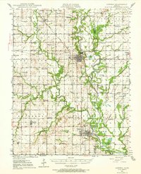
1944 · Oswego
USGS Topo · 1:62,500
1945 · Mc Cune
USGS Topo · 1:62,500
1945 · Cherokee
USGS Topo · 1:62,500