Old Maps of Oswego, Kansas for Academic Research
Study the evolution of Oswego with 24 high-resolution historic maps. Whether you're teaching, researching, or modeling changes in land use, these maps provide essential visual documentation of urban, environmental, and geographic change.
- Analyze long-term change: Track patterns in development, transportation, and natural features.
- Ideal for environmental or urban studies: Support academic projects with primary historical map data.
- Use in the classroom or lab: Educators and researchers rely on these maps to bring historical context to life.
These maps are a powerful tool for teaching, research, and visualizing how Oswego has changed over the decades.
Oswego, KS maps
(24)- 1886 Map of Parsons
 1886 Parsons1886 Print · USGSSoutheast Kansas at the height of the railroad boom is anchored here by the growing hub of Parsons. Genealogists and historians can trace the early townships and rail sidings that shaped Labette County, from Oswego and Chetopa to rural stops like Ladore and Altamont.
 - 1893 Map of Parsons
 1893 Parsons1893 Print · USGSSoutheastern Kansas was a booming rail center in the late nineteenth century, dominated by the rise of Parsons. Genealogists can trace family connections through early settlements like Ladore, Mound Valley, and Altamont or along the Little Labette Creek drainage.4 unique versions available
 - 1944 Map of Oswego, 1970 Print
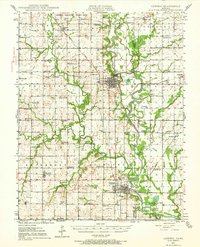 1944 Oswego1970 Print · USGSSoutheast Kansas during the mid-forties reveals a landscape defined by the Neosho River and a dense network of railroad towns. Genealogists and historians can trace dozens of country schools like Mosquito Valley Sch and Eclipse Sch, as well as the footprint of the Kansas Ordnance Plant Area.
 - 1946 Map of Oswego
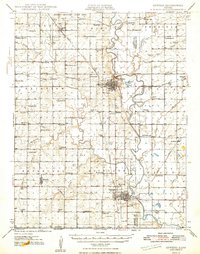
 1946 Oswego1946 Print · USGSSoutheastern Kansas at the end of the war reveals a landscape of river-bottom farming, active coal extraction, and defense-era industrial expansion. Genealogists can trace family roots through numerous rural sites like Friendship Sch, Pleasant Valley Cem, and the town of Bartlett.
 - 1947 Map of Joplin, 1954 Print
 1947 Joplin1954 Print · USGSThe borderlands of Missouri, Kansas, and Oklahoma are shown here during the late 1940s, a period of heavy industrial and military activity. Researchers can trace the extensive Tri-State Mining District, the layout of Camp Crowder, and local landmarks like Mount Hope Cem.
 - 1948 Map of Oswego
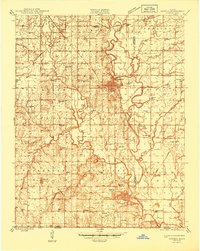
 1948 Oswego1948 Print · USGSSoutheast Kansas in the late 1940s reveals a landscape defined by the Neosho River and a bustling extractive economy. Researchers can trace dozens of rural school sites like Shiloh Sch and Liggett Sch, alongside numerous strip mines and family cemeteries.3 unique versions available
 - 1949 Map of Joplin
 1949 Joplin1949 Print · USGSThe Kansas-Missouri borderlands thrive in the late 1940s, showing a robust network of railroad towns and river valleys. Researchers can trace historic rail lines like the Missouri Pacific RR and locate rural centers such as Chanute, Iola, and Fort Scott.
 - 1954 Map of Joplin, 1967 Print
 1954 Joplin1967 Print · USGSThe tri-state border region of Kansas, Missouri, and Oklahoma is captured here during a peak era of mid-century industrial and agricultural activity. Researchers can trace family history through dozens of rural cemeteries or locate landmarks like the Kansas Army Ammunition Plant and Pittsburg State University.3 unique versions available
 - 1958 Map of Joplin
 1958 Joplin1958 Print · USGSThe tri-state border region of Missouri, Kansas, and Oklahoma is shown during the late fifties, a time of heavy rail traffic and mining activity. Local historians can trace the industrial landscape through the Joplin & Pittsburg Ry or locate family sites like Zion Ch and Bender Mounds.
 - 1959 Map of Joplin
 1959 Joplin1959 Print · USGSThe Tri-State region’s mining and rail-driven economy is on full display in the late fifties. Genealogists can locate Lead and Zinc Mines near Joplin, family markers at Oak Hill Cem, and military history at Camp Clark.
 - 1974 Map of Labette, 1976 Print
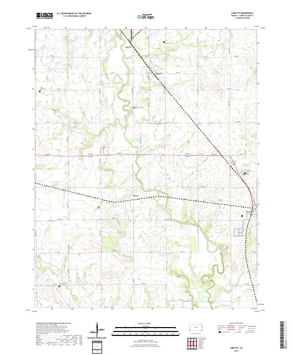
 1974 Labette1976 Print · USGSLabette County's rural landscape is captured here in the mid-seventies, showing a region defined by heavy rail and defense industry. Genealogists can trace family landmarks like Spring Valley Ch, Fairview Cem, and the old school at Fairview Sch.
 - 1974 Map of Oswego, 1976 Print
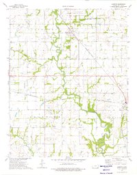
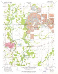 1974 Oswego1976 Print · USGSOswego and the eastern Kansas plains are captured in the mid-1970s at a time of transition for the local landscape. Genealogists can locate several rural landmarks including Tibbetts Cem, Sunnyview Sch, and the old Strip Pits State Wildlife Management Area mines.
 - 1985 Map of Coffeyville
 1985 Coffeyville1985 Print · USGSSoutheast Kansas in the mid-eighties shows a landscape of river-valley agriculture and heavy industry anchored by the rail hubs of Independence and Coffeyville. Genealogists and historians can trace rail lines like the Missouri Kansas Texas RR and locate sites like Fairview Cemetery or the Kansas Army Ammunition Plant.
 - 1990 Map of Coffeyville
 1990 Coffeyville1990 Print · USGSSoutheast Kansas in the late twentieth century is defined by its industrial sites and river valley rail hubs. Genealogists and historians can trace the infrastructure of the Army Ammunition Plant, the local graves at Fairview Cemetery, and the extensive Strip Mine operations.
 - 2010 Map of Labette, 2010 Print
 2010 Labette2010 Print · USGSCovers Oswego, including Labette, Stover, and other nearby areas
 - 2010 Map of Oswego, 2010 Print
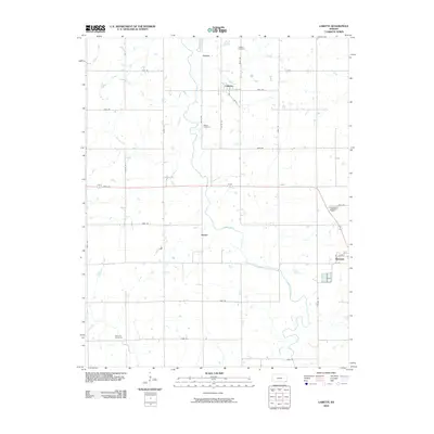
 2010 Oswego2010 Print · USGSCovers Oswego, including Hoag, Labette County, and other nearby areas
 - 2012 Map of Labette, 2012 Print
 2012 Labette2012 Print · USGSCovers Oswego, including Labette, Stover, and other nearby areas
 - 2012 Map of Oswego, 2012 Print
 2012 Oswego2012 Print · USGSCovers Oswego, including Hoag, Labette County, and other nearby areas
 - 2015 Map of Oswego, 2015 Print
 2015 Oswego2015 Print · USGSCovers Oswego, including Hoag, Labette County, and other nearby areas
 - 2016 Map of Labette, 2016 Print
 2016 Labette2016 Print · USGSCovers Oswego, including Labette, Stover, and other nearby areas
 - 2018 Map of Labette, 2018 Print
 2018 Labette2018 Print · USGSCovers Oswego, including Labette, Stover, and other nearby areas
 - 2018 Map of Oswego, 2018 Print
 2018 Oswego2018 Print · USGSCovers Oswego, including Hoag, Labette County, and other nearby areas
 - 2022 Map of Labette, 2022 Print
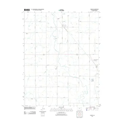
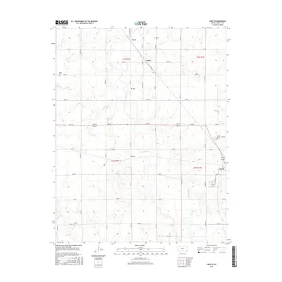
 2022 Labette2022 Print · USGSLabette County, Kansas, is captured in this recent survey, showcasing the enduring agricultural grid and scattered rural settlements of the plains. Researchers can trace family history through numerous local sites including Labette Cem, Mason Cem, and the town of Oswego.
 - 2022 Map of Oswego, 2022 Print
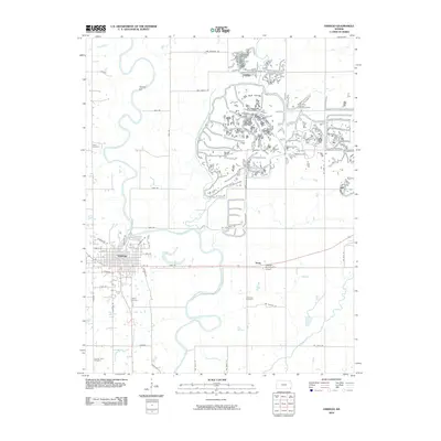
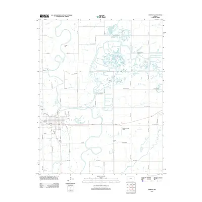
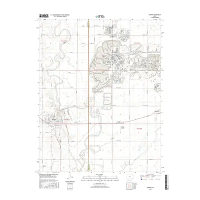
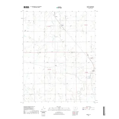
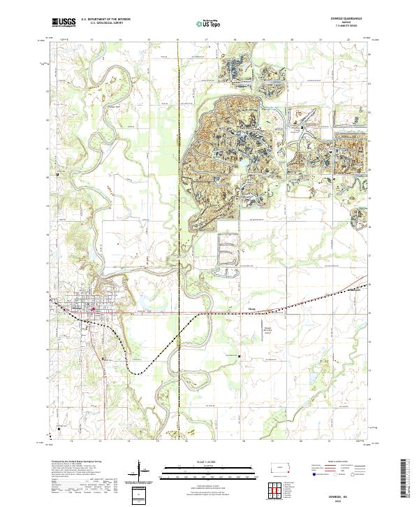 2022 Oswego2022 Print · USGSSoutheastern Kansas farmland meets the winding banks of the Neosho River in this 2020s landscape centered on the Labette County seat. Genealogists can trace family plots at Poor Boy Cem and Garrison Cem or locate historic landmarks like the Labette County Courthouse.
End of results
Showing maps 1-24 of 24
Top cities near Oswego
- Parsons historical maps
- Chetopa historical maps
- Altamont historical maps
- McCune historical maps
- West Mineral historical maps
- Montana historical maps
See more
Frequently asked questions
- What are the different types of historical maps available for Oswego?
- What is the oldest map of Oswego?
- Where can I purchase historical maps of Oswego for my home or office?
- Where can I download high-res historical maps of Oswego?
- Are there historical topographic maps available for Oswego?
- Is there historical aerial imagery available for Oswego?
- Where are historical maps of Oswego sourced from?