Old Maps of Healy, Kansas for Metal Detecting
Plan your next treasure hunt with 9 historic maps of Healy. Find old homesites, ghost towns, trails, and gathering spots that may be lost to time — perfect for identifying promising metal detecting locations.
- Locate forgotten sites: Uncover places like long-lost settlements, abandoned rail lines, or gathering spots.
- Plan better hunts: Use map overlays combined with LiDAR or satellite views to narrow in on historically rich areas.
- Made for detectorists: Thousands of hobbyists use these maps to discover relics, coins, and hidden history.
Use these historic maps to boost your research and find new opportunities beneath the surface of Healy.
Healy, KS maps
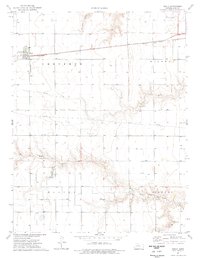
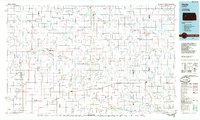
(9)- 1955 Map of Scott City, 1969 Print
 1955 Scott City1969 Print · USGSWestern Kansas in the mid-fifties is captured here as a landscape of rural schoolhouses and significant rail corridors. Family historians can trace the locations of Skyline and Beaver Creek Schools or follow the Union Pacific line through Oakley and Sharon Springs.4 unique versions available
 - 1958 Map of Scott City
 1958 Scott City1958 Print · USGSWestern Kansas at the peak of the post-war era reveals a landscape of high-plains agriculture and vital rail junctions. Genealogists and historians can trace old country school sites like Prairie Bell School, the landmark Chalk Pyramids, and small stops along the Union Pacific and Missouri Pacific.
 - 1974 Map of Healy, 1977 Print
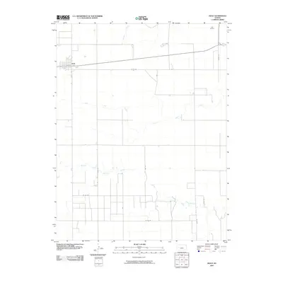
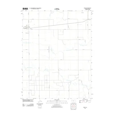
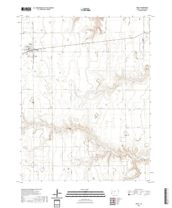
 1974 Healy1977 Print · USGSHealy and the surrounding Kansas plains are captured in the mid-1970s, showcasing the agricultural and industrial layout of Lane County. Researchers can trace the Missouri Pacific rail line through town or locate local landmarks like Healy Cem, Gill Airport, and numerous Caliche Pits.
 - 1985 Map of Healy
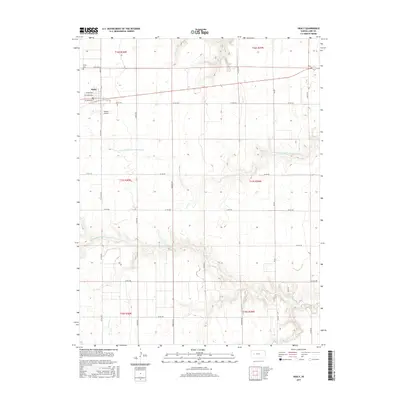
 1985 Healy1985 Print · USGSWestern Kansas in the mid-1980s shows a landscape where pioneer history and the railroad era overlap. Genealogists and historians can trace the Butterfield Overland Trail near Castle Rock or locate rural family outposts near Gove City and Arnold.2 unique versions available
 - 2009 Map of Healy, 2009 Print
 2009 Healy2009 Print · USGSCovers Healy, including Lane County, United States, and other nearby areas
 - 2012 Map of Healy, 2012 Print
 2012 Healy2012 Print · USGSCovers Healy, including Lane County, United States, and other nearby areas
 - 2015 Map of Healy, 2015 Print
 2015 Healy2015 Print · USGSCovers Healy, including Lane County, United States, and other nearby areas
 - 2018 Map of Healy, 2018 Print
 2018 Healy2018 Print · USGSCovers Healy, including Lane County, United States, and other nearby areas
 - 2022 Map of Healy, 2022 Print
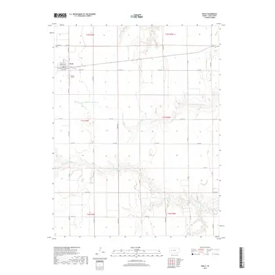
 2022 Healy2022 Print · USGSHealy and the high plains of Lane County are captured here in the early twenty-first century, showing the intersection of local industry and agriculture. Researchers can trace the town’s residential core or locate family landmarks like the Healy Cem and Wilkens Airport.
End of results
Showing maps 1-9 of 9
Top cities near Healy
Frequently asked questions
- What are the different types of historical maps available for Healy?
- What is the oldest map of Healy?
- Where can I purchase historical maps of Healy for my home or office?
- Where can I download high-res historical maps of Healy?
- Are there historical topographic maps available for Healy?
- Is there historical aerial imagery available for Healy?
- Where are historical maps of Healy sourced from?