Old Maps of Quartzite, Kansas for Metal Detecting
Plan your next treasure hunt with 10 historic maps of Quartzite. Find old homesites, ghost towns, trails, and gathering spots that may be lost to time — perfect for identifying promising metal detecting locations.
- Locate forgotten sites: Uncover places like long-lost settlements, abandoned rail lines, or gathering spots.
- Plan better hunts: Use map overlays combined with LiDAR or satellite views to narrow in on historically rich areas.
- Made for detectorists: Thousands of hobbyists use these maps to discover relics, coins, and hidden history.
Use these historic maps to boost your research and find new opportunities beneath the surface of Quartzite.
Quartzite, KS maps
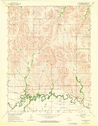
(10)- 1894 Map of Beloit
 1894 Beloit1894 Print · USGSMitchell and Lincoln counties come alive in the 1890s as the railroad and river systems began to shape these Kansas prairie towns. Genealogists and researchers can trace early homesteads and rail-stop settlements like Denmark, Tipton, and the Rocky Hill Mill.3 unique versions available
 - 1955 Map of Beloit, 1971 Print
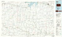
 1955 Beloit1971 Print · USGSNorth Central Kansas in the mid-fifties shows a landscape of river-valley agriculture and expanding water infrastructure. Genealogists can trace the rail lines of the Union Pacific through towns like Nicodemus, Cawker City, and the State Sanatorium.3 unique versions available
 - 1959 Map of Beloit
 1959 Beloit1959 Print · USGSNorth Central Kansas at mid-century reveals a landscape shaped by river valleys and the expansion of massive water reservoirs. Genealogists and historians can trace the rail-town connections of Beloit and Norton or locate the site of the new Webster Dam.3 unique versions available
 - 1963 Map of Shady Bend, 1964 Print
 1963 Shady Bend1964 Print · USGSLincoln County, Kansas, was a hub of river-valley rail activity in the early 1960s as the Saline River flowed past competing rail lines. Genealogists can locate Shady Bend Cem and Sunnyside Cem while tracing the Union Pacific tracks.
 - 1985 Map of Beloit
 1985 Beloit1985 Print · USGSNorth Central Kansas in the mid-eighties shows a landscape shaped by the Solomon and Saline rivers and the massive Waconda Lake. Researchers can trace the routes of the Missouri Pacific RR and locate rural landmarks like the State Girls School and Denmark.2 unique versions available
 - 2009 Map of Shady Bend, 2009 Print
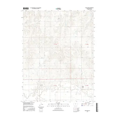
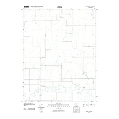 2009 Shady Bend2009 Print · USGSCovers Quartzite, including Shady Bend, Lincoln County, and other nearby areas
 - 2012 Map of Shady Bend, 2012 Print
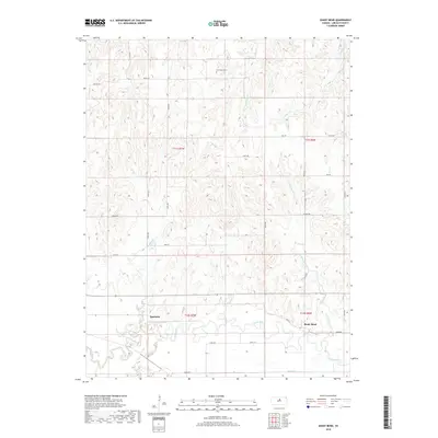
 2012 Shady Bend2012 Print · USGSCovers Quartzite, including Shady Bend, Lincoln County, and other nearby areas
 - 2015 Map of Shady Bend, 2015 Print
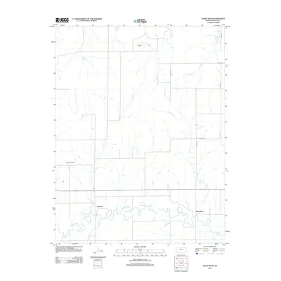
 2015 Shady Bend2015 Print · USGSCovers Quartzite, including Shady Bend, Lincoln County, and other nearby areas
 - 2018 Map of Shady Bend, 2018 Print
 2018 Shady Bend2018 Print · USGSCovers Quartzite, including Shady Bend, Lincoln County, and other nearby areas
 - 2022 Map of Shady Bend, 2022 Print
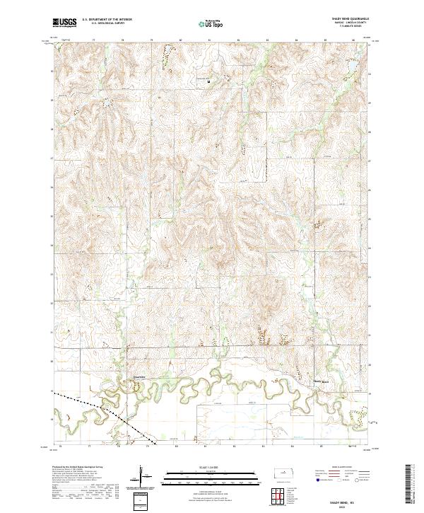 2022 Shady Bend2022 Print · USGSLincoln County at the start of the 2020s remains a landscape of riparian settlements and grid-mapped plains. Genealogists and local historians can locate the Sunnyside Cem or trace the early foundations of Shady Bend and Quartzite along the Saline River.
End of results
Showing maps 1-10 of 10
Top cities near Quartzite
- Tescott historical maps
- Beverly historical maps
- Barnard historical maps
- Glendale historical maps
- Vesper historical maps
Frequently asked questions
- What are the different types of historical maps available for Quartzite?
- What is the oldest map of Quartzite?
- Where can I purchase historical maps of Quartzite for my home or office?
- Where can I download high-res historical maps of Quartzite?
- Are there historical topographic maps available for Quartzite?
- Is there historical aerial imagery available for Quartzite?
- Where are historical maps of Quartzite sourced from?