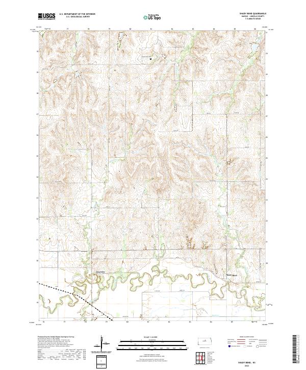
2022 Map of Shady Bend
USGS Topo · Published 2022About this map
The Saline River winds through the southern reaches of this Lincoln County landscape, defining a valley where the settlements of Shady Bend and Quartzite were established. These small communities are situated along the river's northern banks, connected by local routes like Kale Ln and Kiowa Dr. The surrounding terrain is deeply dissected by a network of drainage systems, including the branching paths of Twelvemile Cr and Elkhorn Cr.
Find a feature on this map
36 named features on this map. Tap any name to fly to it.
Don’t see what you’re looking for? This feature index may not catch every label — zoom into the map to look around manually.
Map Details
Editions of this 2022 Shady Bend Map
This is the sole edition of this map. No revisions or reprints were ever made.
Other maps of this area

1892 · Salina
USGS Topo · 1:125,000

1892 · Minneapolis
USGS Topo · 1:125,000

1894 · Ellsworth
USGS Topo · 1:125,000

1894 · Beloit
USGS Topo · 1:125,000

1942 · Salina
USGS Topo · 1:125,000

1955 · Manhattan
USGS Topo · 1:250,000

1955 · Great Bend
USGS Topo · 1:250,000

1955 · Hutchinson
USGS Topo · 1:250,000

1955 · Beloit
USGS Topo · 1:250,000

1956 · Manhattan
USGS Topo · 1:250,000