Old Maps of Reading, Kansas for Metal Detecting
Plan your next treasure hunt with 13 historic maps of Reading. Find old homesites, ghost towns, trails, and gathering spots that may be lost to time — perfect for identifying promising metal detecting locations.
- Locate forgotten sites: Uncover places like long-lost settlements, abandoned rail lines, or gathering spots.
- Plan better hunts: Use map overlays combined with LiDAR or satellite views to narrow in on historically rich areas.
- Made for detectorists: Thousands of hobbyists use these maps to discover relics, coins, and hidden history.
Use these historic maps to boost your research and find new opportunities beneath the surface of Reading.
Reading, KS maps
(13)- 1889 Map of Burlingame
 1889 Burlingame1889 Print · USGSOsage and Shawnee Counties are seen here during the peak of late-Victorian rail expansion and coal-country growth. Genealogists and local historians can trace early township boundaries and the development of rail hubs like Osage City, Burlingame, and the settlement of Arvonia.
 - 1894 Map of Burlingame
 1894 Burlingame1894 Print · USGSOsage County was a thriving rail and coal hub in the late nineteenth century, dominated by the intersecting tracks of major regional carriers. Researchers can trace the development of early Kansas towns like Scranton, Carbondale, and the river community of Quenemo.4 unique versions available
 - 1947 Map of Lawrence, 1954 Print
 1947 Lawrence1954 Print · USGSEastern Kansas and western Missouri thrive in the late 1940s, showing a landscape defined by major river valleys and a dense railway network. Genealogists can trace family settlements from Lawrence to Greenwood and locate landmarks like Olathe Navy and Lake Lotawana.
 - 1950 Map of Lawrence
 1950 Lawrence1950 Print · USGSMid-century Kansas and Missouri come alive in this map of the river-valley corridors just as the interstate era was beginning. Researchers can trace the legacy of major rail lines like the Union Pacific RR and locate ancestral roots in towns from Lawrence to Harrisonville.
 - 1956 Map of Lawrence, 1967 Print
 1956 Lawrence1967 Print · USGSEastern Kansas and the Missouri border country are captured here during the mid-century transition to the interstate era. Genealogists and local historians can trace family-named terrain like Summers Mound and the footprint of Sunflower Ordnance Works near Baldwin City.4 unique versions available
 - 1961 Map of Lawrence
 1961 Lawrence1961 Print · USGSThe Kansas-Missouri borderland shows its mid-century transition from a rail-dependent agricultural region to a suburbanizing landscape. Genealogists can trace family footprints through numerous Cem sites and distinctive terrain landmarks like Graves Mound and Summers Mound.
 - 1971 Map of Reading, 1972 Print
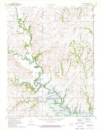 1971 Reading1972 Print · USGSLyon and Osage counties come together here in the early 1970s as the river landscape transitions near the newly formed Melvern Reservoir. Genealogists and local historians can trace family plots at Mt Calvary Cem or follow the rail corridor through Reading and Barclay.
 - 1983 Map of Lawrence, 1984 Print
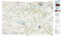 1983 Lawrence1984 Print · USGSEastern Kansas in the early eighties shows a landscape of growing reservoirs and historic rail towns. Genealogists and historians can trace routes through Topeka and Ottawa, or locate smaller sites like Highland Cem and the settlement of Vassar.
 - 2009 Map of Reading, 2009 Print
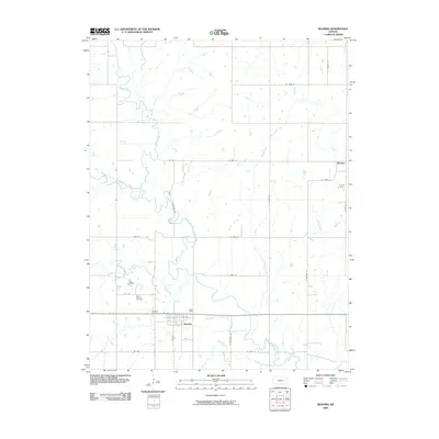 2009 Reading2009 Print · USGSOsage County at the close of the 2000s shows a landscape defined by the winding Marais des Cygnes River and established rural townships. Genealogists can trace family locations near Reading Cemetery, Barclay, and the curiously named One Hundred and Forty-two Mile Creek.
 - 2012 Map of Reading, 2012 Print
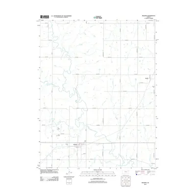 2012 Reading2012 Print · USGSOsage County farming communities thrive along the river valleys of eastern Kansas in the early twenty-first century. Genealogists and local historians can trace family plots at Reading Cem or Barclay Cem and follow the winding path of One Hundred and Forty-two Mile Cr.
 - 2015 Map of Reading, 2015 Print
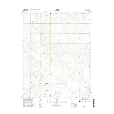 2015 Reading2015 Print · USGSEastern Kansas prairie land near the Lyon and Osage County line is documented here in the early twenty-first century. Researchers can trace the town layouts of Reading and Barclay or locate local landmarks like Mount Calvary Cem and Melvern Lake.
 - 2018 Map of Reading, 2018 Print
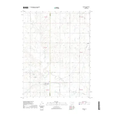 2018 Reading2018 Print · USGSThe borderlands of Lyon and Osage counties come into focus during the late twenty-teens, centered on the rural communities of Reading and Barclay. Researchers can trace local heritage through sites like Reading Cem, Mount Calvary Cem, and the winding course of the Marais des Cygnes River.
 - 2022 Map of Reading, 2022 Print
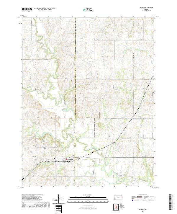 2022 Reading2022 Print · USGSThe borderlands of Lyon and Osage Counties come into focus in this contemporary survey of eastern Kansas prairie and river valleys. Researchers can trace family history at Reading Cem and Barclay Cem or follow the path of the Marais des Cygnes River.
End of results
Showing maps 1-13 of 13
Top cities near Reading
- Emporia historical maps
- Osage City historical maps
- Burlingame historical maps
- Lebo historical maps
- Hartford historical maps
- Neosho Rapids historical maps
See more
Frequently asked questions
- What are the different types of historical maps available for Reading?
- What is the oldest map of Reading?
- Where can I purchase historical maps of Reading for my home or office?
- Where can I download high-res historical maps of Reading?
- Are there historical topographic maps available for Reading?
- Is there historical aerial imagery available for Reading?
- Where are historical maps of Reading sourced from?