Old Maps of McPherson, Kansas
Explore 23 old maps of McPherson, spanning from 1891 to today. These high-resolution historic maps reveal how streets, neighborhoods, landmarks, and natural features evolved over time — perfect for genealogy, metal detecting, research, and local history exploration.
What you can do with these maps:
- See how McPherson changed over time: Compare historical maps to modern-day views to trace roads, homesites, rail lines & more.
- View detailed metadata: Each map includes creators, publishers, year, scale, and archive source.
- Overlay maps with satellite & LiDAR: Visualize the past alongside modern tools to explore terrain & human change.
- Trusted historical sources: Maps sourced from the USGS, Library of Congress, and other archives.
- Access maps your way: View online, download high-res files, or order prints for personal or research use.
Start exploring old maps of McPherson to uncover forgotten places, hidden landmarks, and the deep history beneath your feet.
McPherson, KS maps
(23)- 1891 Map of Hutchinson
 1891 Hutchinson1891 Print · USGSCentral Kansas at the close of the frontier era was a landscape of burgeoning rail towns and organized townships. Genealogists and local historians can trace the early footprints of Hutchinson and Mc Pherson alongside vanished locales like King City and Aiken.
 - 1893 Map of Hutchinson
 1893 Hutchinson1893 Print · USGSCentral Kansas at the close of the nineteenth century reveals a landscape undergoing a total transformation through railroad expansion and township settlement. Genealogists can trace early homestead patterns and family-named districts like Lone Tree and Garden while locating vanished stops along the Missouri Pacific Railway.5 unique versions available
 - 1955 Map of Hutchinson, 1967 Print
 1955 Hutchinson1967 Print · USGSCentral Kansas in the mid-sixties reveals a landscape of growing reservoirs and evolving transportation corridors. Trace the development of towns like Hutchinson and Abilene alongside the Union Pacific Railroad and the expanding Interstate 70.3 unique versions available
 - 1959 Map of Hutchinson
 1959 Hutchinson1959 Print · USGSCentral Kansas thrives at the intersection of rail and river in the mid-1950s, as post-war aviation infrastructure reshapes the prairie. Genealogists and historians can trace the paths of the AT&SF RR through Newton and Hutchinson, or locate military sites like Smoky Hill Air Force Base.2 unique versions available
 - 1965 Map of Mc Pherson South, 1966 Print
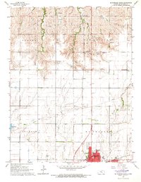
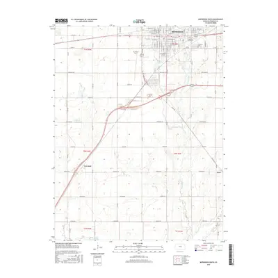
 1965 Mc Pherson South1966 Print · USGSMcPherson thrived as a center for education and industry in the mid-1960s, surrounded by vast Kansas agricultural lands. Genealogists and historians can trace the development of McPherson College or locate family sites near Groveland and the McPherson Cemetery.3 unique versions available
 - 1965 Map of Mc Pherson SE, 1966 Print
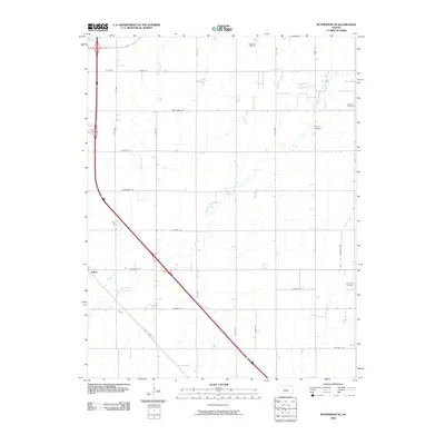
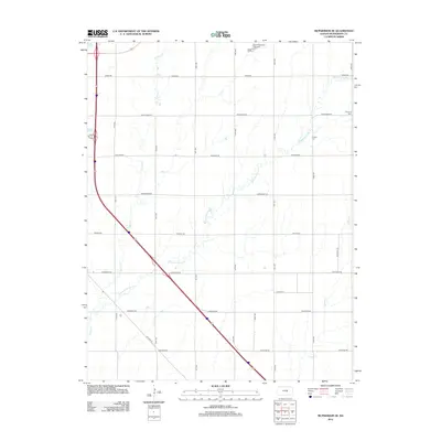
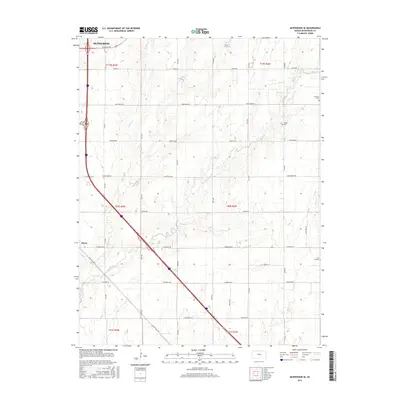
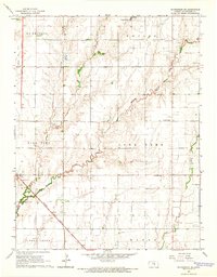 1965 Mc Pherson SE1966 Print · USGSMcPherson County agricultural and oil lands are captured here in the mid-sixties, south of the county seat. Researchers can trace the legacy of rural communities through the Sunflower Sch, the Ritz Canton Oil Field, and the rail stop at Elyria.4 unique versions available
 - 1965 Map of Mc Pherson North, 1966 Print
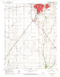
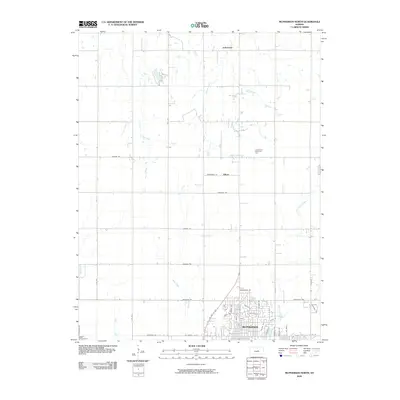
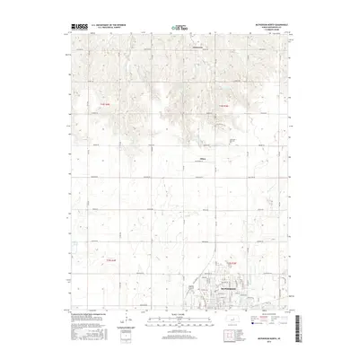
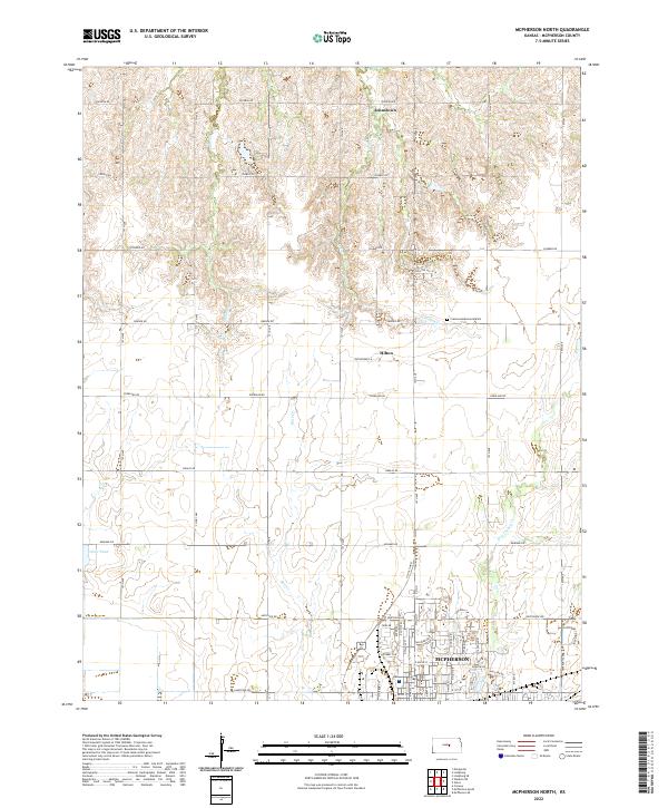
 1965 Mc Pherson North1966 Print · USGSMid-century Kansas comes to life as the city of McPherson expands amid a network of rural schoolhouses and active rail lines. Researchers can trace the layout of the Lincoln Sch, locate the old Drive-in Theater, and follow the Union Pacific railroad through Johnstown.3 unique versions available
 - 1985 Map of Hutchinson
 1985 Hutchinson1985 Print · USGSCentral Kansas in the mid-1980s is revealed here as a landscape of productive plains, rail corridors, and growing college towns. Genealogists and historians can trace family plots at McPherson Cemetery and follow the routes of the Missouri Pacific through settlements like Moundridge and Hesston.2 unique versions available
 - 2009 Map of McPherson South, 2009 Print
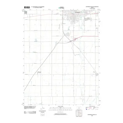 2009 McPherson South2009 Print · USGSCovers McPherson, including Groveland, Elyria, and other nearby areas
 - 2009 Map of McPherson SE, 2009 Print
 2009 McPherson SE2009 Print · USGSCovers McPherson, including McPherson County, United States, and other nearby areas
 - 2009 Map of McPherson North, 2009 Print
 2009 McPherson North2009 Print · USGSCovers McPherson, including Johnstown, Hilton, and other nearby areas
 - 2012 Map of McPherson South, 2012 Print
 2012 McPherson South2012 Print · USGSCovers McPherson, including Groveland, Elyria, and other nearby areas
 - 2012 Map of McPherson North, 2012 Print
 2012 McPherson North2012 Print · USGSCovers McPherson, including Johnstown, Hilton, and other nearby areas
 - 2012 Map of McPherson SE, 2012 Print
 2012 McPherson SE2012 Print · USGSCovers McPherson, including McPherson County, United States, and other nearby areas
 - 2015 Map of McPherson South, 2015 Print
 2015 McPherson South2015 Print · USGSCovers McPherson, including Groveland, Elyria, and other nearby areas
 - 2015 Map of McPherson North, 2015 Print
 2015 McPherson North2015 Print · USGSCovers McPherson, including Johnstown, Hilton, and other nearby areas
 - 2015 Map of McPherson SE, 2015 Print
 2015 McPherson SE2015 Print · USGSCovers McPherson, including McPherson County, United States, and other nearby areas
 - 2018 Map of McPherson South, 2018 Print
 2018 McPherson South2018 Print · USGSCovers McPherson, including Groveland, Elyria, and other nearby areas
 - 2018 Map of McPherson SE, 2018 Print
 2018 McPherson SE2018 Print · USGSCovers McPherson, including McPherson County, United States, and other nearby areas
 - 2018 Map of McPherson North, 2018 Print
 2018 McPherson North2018 Print · USGSCovers McPherson, including Johnstown, Hilton, and other nearby areas
 - 2022 Map of McPherson North, 2022 Print
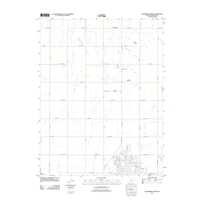
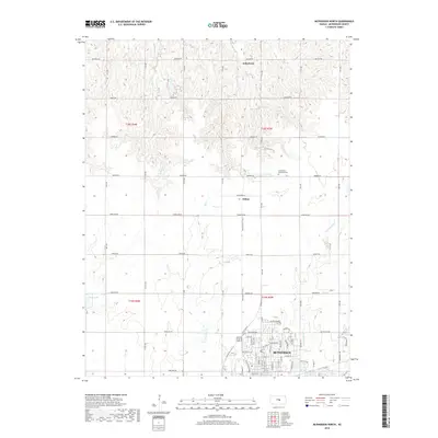
 2022 McPherson North2022 Print · USGSThe northern outskirts of McPherson appear here in the early twenty-first century, showing the transition from urban neighborhoods to the Kansas prairie. Trace local landmarks like Johnstown, Crestwood Memorial Park, and the quiet waters of Dry Turkey Creek.
 - 2022 Map of McPherson SE, 2022 Print
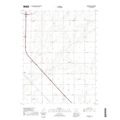
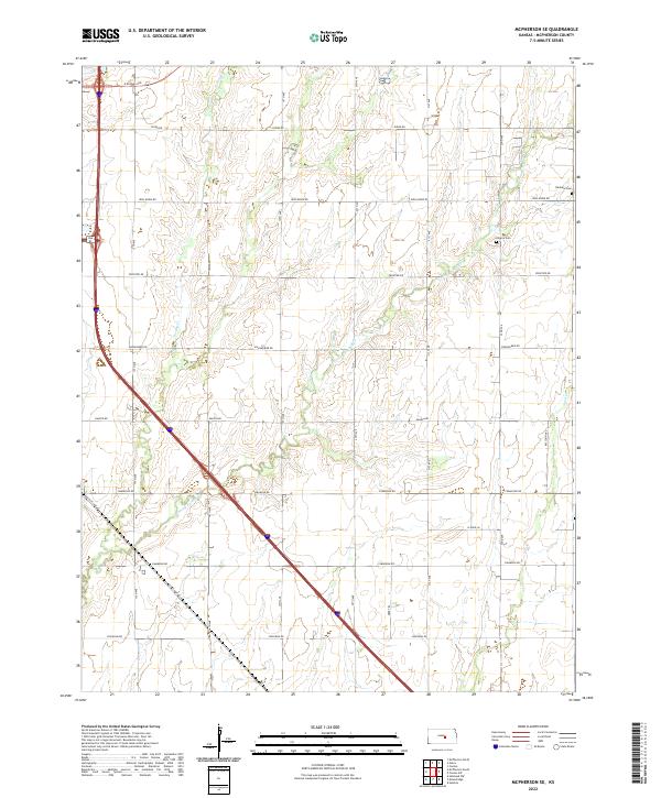 2022 McPherson SE2022 Print · USGSThe rural landscape of McPherson County is captured here in the early 2020s, showing a well-established grid of section roads and prairie waterways. Researchers can trace family history at the Empire Cemetery or follow historic transit routes like Old US Hwy 81 and Chisholm Road.
 - 2022 Map of McPherson South, 2022 Print
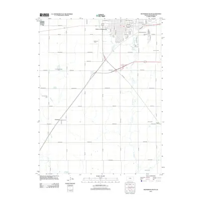
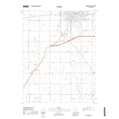
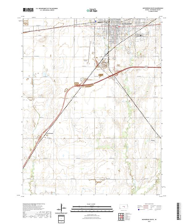 2022 McPherson South2022 Print · USGSThe plains of central Kansas are centered here on a bustling college town and its nearby farming outposts in the early 2020s. Genealogists and local historians can trace the development of McPherson through landmarks like the McPherson Cem and the campus of McPherson College.
End of results
Showing maps 1-23 of 23
Top cities near McPherson
- Hesston historical maps
- Lindsborg historical maps
- Moundridge historical maps
- Medora historical maps
- Inman historical maps
- Buhler historical maps
See more
Frequently asked questions
- What are the different types of historical maps available for McPherson?
- What is the oldest map of McPherson?
- Where can I purchase historical maps of McPherson for my home or office?
- Where can I download high-res historical maps of McPherson?
- Are there historical topographic maps available for McPherson?
- Is there historical aerial imagery available for McPherson?
- Where are historical maps of McPherson sourced from?