2000s (21st Century) Maps of McPherson, Kansas
Explore 15 historic maps of McPherson from the 2000s (21st Century). These maps offer a rare glimpse into what life looked like during the 2000s — showing old roads, neighborhoods, homes, and landmarks that have changed or disappeared over time.
Whether you're researching your family's past, planning a metal detecting trip, or studying how McPherson's landscape evolved across the 2000s, these high-resolution maps are a powerful tool for exploring the history of this region.
- Focus on a specific era: All maps on this page are from the 2000s, giving you a focused view of this time period.
- See what’s changed: Compare century-old streets, trails, and buildings to today's modern landscape using overlays and satellite layers.
- Research with precision: Use these maps for genealogy, historical research, land use analysis, or educational projects.
- View, download, or print: Maps are fully viewable online in high resolution, and can be downloaded or printed for your own records.
Start exploring McPherson's history through authentic maps from the 2000s. This is your window into the past.
McPherson, KS maps
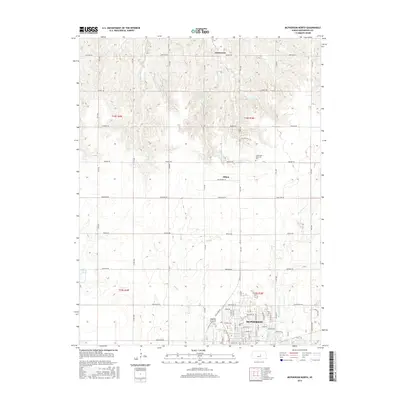
(15)- 2009 Map of McPherson South, 2009 Print
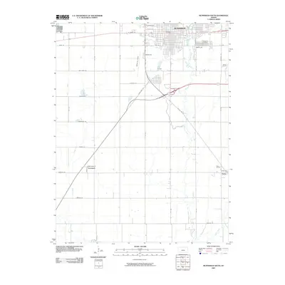 2009 McPherson South2009 Print · USGSCovers McPherson, including Groveland, Elyria, and other nearby areas
 - 2009 Map of McPherson SE, 2009 Print
 2009 McPherson SE2009 Print · USGSCovers McPherson, including McPherson County, United States, and other nearby areas
 - 2009 Map of McPherson North, 2009 Print
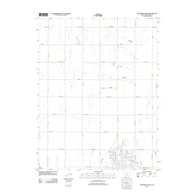
 2009 McPherson North2009 Print · USGSCovers McPherson, including Johnstown, Hilton, and other nearby areas
 - 2012 Map of McPherson South, 2012 Print
 2012 McPherson South2012 Print · USGSCovers McPherson, including Groveland, Elyria, and other nearby areas
 - 2012 Map of McPherson North, 2012 Print
 2012 McPherson North2012 Print · USGSCovers McPherson, including Johnstown, Hilton, and other nearby areas
 - 2012 Map of McPherson SE, 2012 Print
 2012 McPherson SE2012 Print · USGSCovers McPherson, including McPherson County, United States, and other nearby areas
 - 2015 Map of McPherson South, 2015 Print
 2015 McPherson South2015 Print · USGSCovers McPherson, including Groveland, Elyria, and other nearby areas
 - 2015 Map of McPherson North, 2015 Print
 2015 McPherson North2015 Print · USGSCovers McPherson, including Johnstown, Hilton, and other nearby areas
 - 2015 Map of McPherson SE, 2015 Print
 2015 McPherson SE2015 Print · USGSCovers McPherson, including McPherson County, United States, and other nearby areas
 - 2018 Map of McPherson South, 2018 Print
 2018 McPherson South2018 Print · USGSCovers McPherson, including Groveland, Elyria, and other nearby areas
 - 2018 Map of McPherson SE, 2018 Print
 2018 McPherson SE2018 Print · USGSCovers McPherson, including McPherson County, United States, and other nearby areas
 - 2018 Map of McPherson North, 2018 Print
 2018 McPherson North2018 Print · USGSCovers McPherson, including Johnstown, Hilton, and other nearby areas
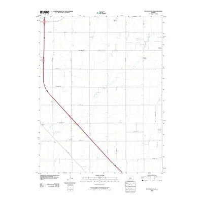
 - 2022 Map of McPherson North, 2022 Print
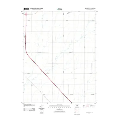
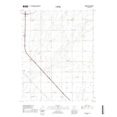
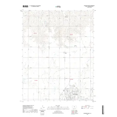
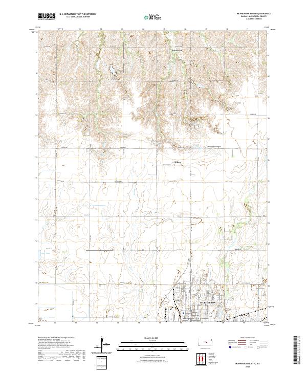 2022 McPherson North2022 Print · USGSThe northern outskirts of McPherson appear here in the early twenty-first century, showing the transition from urban neighborhoods to the Kansas prairie. Trace local landmarks like Johnstown, Crestwood Memorial Park, and the quiet waters of Dry Turkey Creek.
 - 2022 Map of McPherson SE, 2022 Print
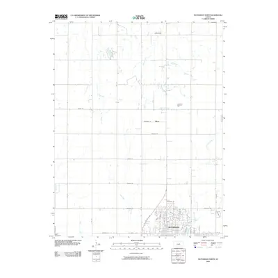
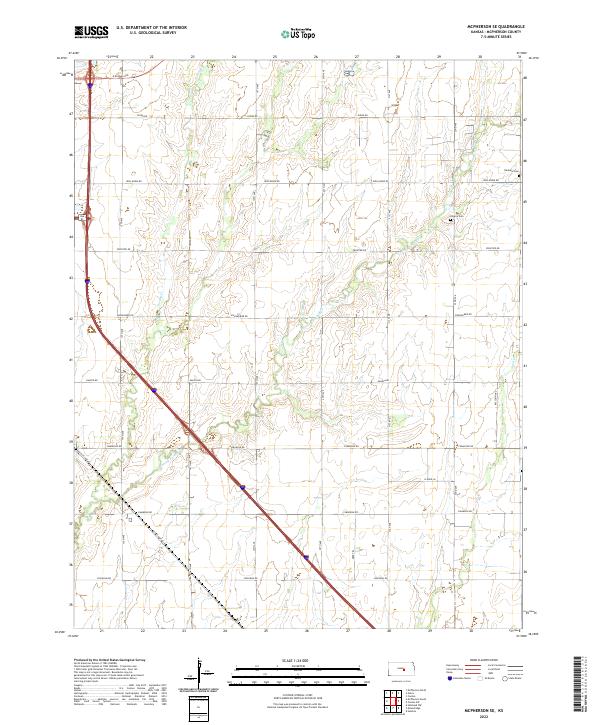 2022 McPherson SE2022 Print · USGSThe rural landscape of McPherson County is captured here in the early 2020s, showing a well-established grid of section roads and prairie waterways. Researchers can trace family history at the Empire Cemetery or follow historic transit routes like Old US Hwy 81 and Chisholm Road.
 - 2022 Map of McPherson South, 2022 Print
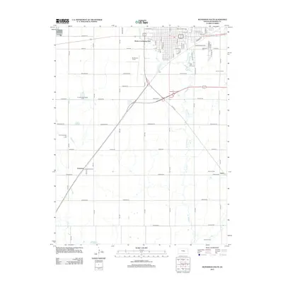
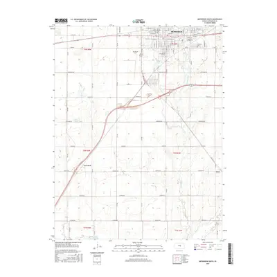
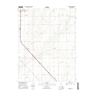
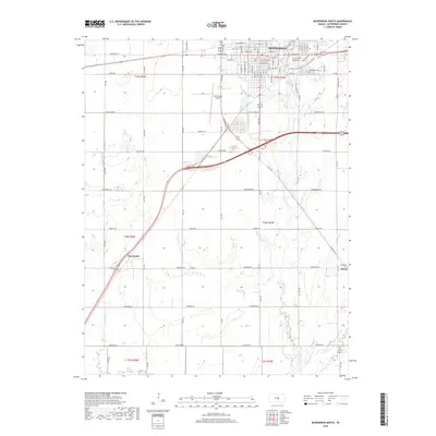
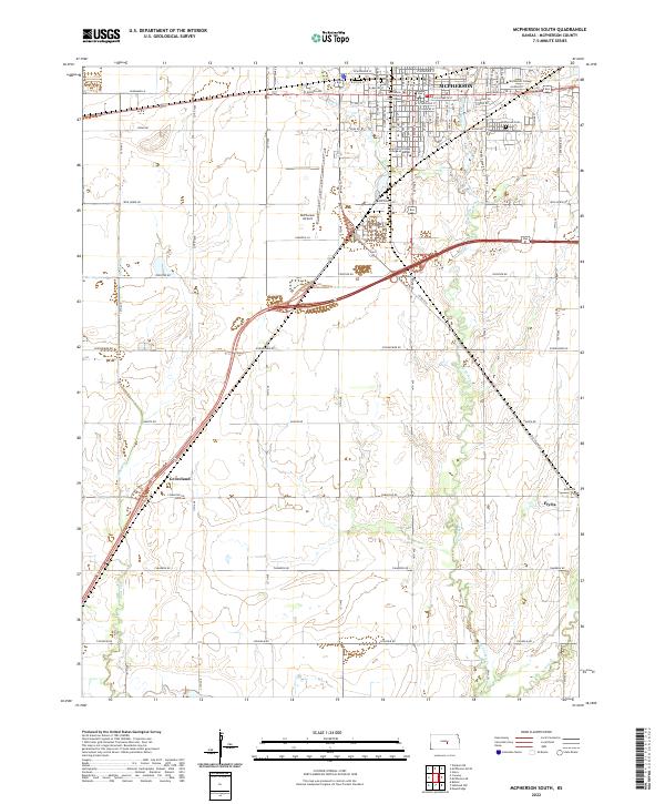 2022 McPherson South2022 Print · USGSThe plains of central Kansas are centered here on a bustling college town and its nearby farming outposts in the early 2020s. Genealogists and local historians can trace the development of McPherson through landmarks like the McPherson Cem and the campus of McPherson College.
End of results
Showing maps 1-15 of 15
Top cities near McPherson
- Hesston historical maps
- Lindsborg historical maps
- Moundridge historical maps
- Medora historical maps
- Inman historical maps
- Buhler historical maps
See more
Frequently asked questions
- What are the different types of historical maps available for McPherson?
- What is the oldest map of McPherson?
- Where can I purchase historical maps of McPherson for my home or office?
- Where can I download high-res historical maps of McPherson?
- Are there historical topographic maps available for McPherson?
- Is there historical aerial imagery available for McPherson?
- Where are historical maps of McPherson sourced from?