Old Maps of Windom, Kansas for Genealogy
Trace your family roots with 11 historic maps of Windom. These high-res maps reveal old neighborhoods, homesites, landmarks, and streets — helping you uncover where your ancestors lived and how the area evolved over time.
- Explore historic neighborhoods: Identify where your relatives may have lived in the 1800s or 1900s.
- Compare maps over time: Trace the changes in streets, buildings, and landmarks for multi-generational research.
- Perfect for genealogy & ancestry research: Used by family historians and researchers to map out lineage and migration.
These maps are an incredible resource for exploring your personal connection to Windom's past.
Windom, KS maps
(11)- 1891 Map of Hutchinson
 1891 Hutchinson1891 Print · USGSCentral Kansas at the close of the frontier era was a landscape of burgeoning rail towns and organized townships. Genealogists and local historians can trace the early footprints of Hutchinson and Mc Pherson alongside vanished locales like King City and Aiken.
 - 1893 Map of Hutchinson
 1893 Hutchinson1893 Print · USGSCentral Kansas at the close of the nineteenth century reveals a landscape undergoing a total transformation through railroad expansion and township settlement. Genealogists can trace early homestead patterns and family-named districts like Lone Tree and Garden while locating vanished stops along the Missouri Pacific Railway.5 unique versions available
 - 1955 Map of Hutchinson, 1967 Print
 1955 Hutchinson1967 Print · USGSCentral Kansas in the mid-sixties reveals a landscape of growing reservoirs and evolving transportation corridors. Trace the development of towns like Hutchinson and Abilene alongside the Union Pacific Railroad and the expanding Interstate 70.3 unique versions available
 - 1959 Map of Hutchinson
 1959 Hutchinson1959 Print · USGSCentral Kansas thrives at the intersection of rail and river in the mid-1950s, as post-war aviation infrastructure reshapes the prairie. Genealogists and historians can trace the paths of the AT&SF RR through Newton and Hutchinson, or locate military sites like Smoky Hill Air Force Base.2 unique versions available
 - 1965 Map of Windom, 1966 Print
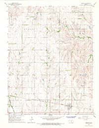 1965 Windom1966 Print · USGSCentral Kansas prairie life is captured here in the mid-sixties, where the Little Arkansas River meets the oil fields. Genealogists can locate Bean Cem and the Townhall while tracing rail history along the Atchison Topeka and Santa Fe.2 unique versions available
 - 1985 Map of Hutchinson
 1985 Hutchinson1985 Print · USGSCentral Kansas in the mid-1980s is revealed here as a landscape of productive plains, rail corridors, and growing college towns. Genealogists and historians can trace family plots at McPherson Cemetery and follow the routes of the Missouri Pacific through settlements like Moundridge and Hesston.2 unique versions available
 - 2009 Map of Windom, 2009 Print
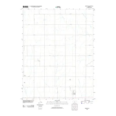 2009 Windom2009 Print · USGSWindom and the surrounding McPherson County plains are documented here at the turn of the millennium. Genealogists and local historians can trace the grid of country roads to Bean Cemetery, the Rellim Oil Field, and the banks of the Little Arkansas River.
 - 2012 Map of Windom, 2012 Print
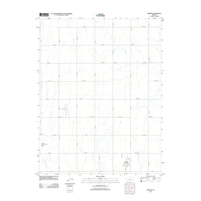 2012 Windom2012 Print · USGSThe town of Windom sits at the heart of this agricultural expanse during the early 21st century. Genealogists and local historians can locate the Bean Cem, trace the drainage of Sharps Cr, and explore the extent of the Rellim Oil Field.
 - 2015 Map of Windom, 2015 Print
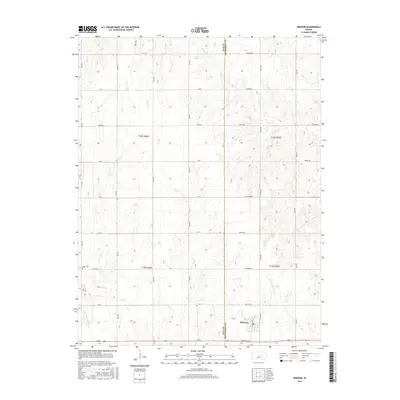 2015 Windom2015 Print · USGSThe town of Windom sits at the heart of this central Kansas agricultural landscape during the mid-2010s. Genealogists and researchers can trace the Rice Co McPherson Co boundary line or locate local landmarks like Bean Cem and the Little Arkansas River.
 - 2018 Map of Windom, 2018 Print
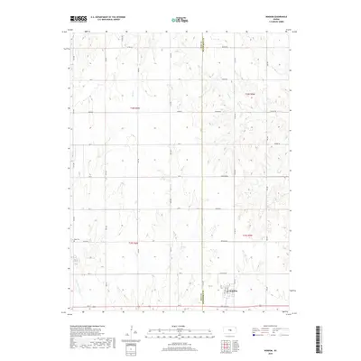 2018 Windom2018 Print · USGSThe community of Windom sits at the junction of Rice and McPherson counties in the late 2010s. Researchers can trace the section-line road grid to find the Bean Cem or follow the headwaters of the Little Arkansas River and Lone Tree Cr.
 - 2022 Map of Windom, 2022 Print
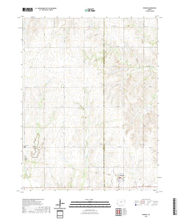 2022 Windom2022 Print · USGSThe borderlands of Rice and McPherson counties are captured here in the early twenty-first century, showcasing a landscape shaped by prairie agriculture. Genealogists and researchers can locate Bean Cem and trace the winding course of the Little Arkansas River and Salt Cr.
End of results
Showing maps 1-11 of 11
Top cities near Windom
- McPherson historical maps
- Inman historical maps
- Marquette historical maps
- Little River historical maps
- Groveland historical maps
- Mitchell historical maps
See more
Frequently asked questions
- What are the different types of historical maps available for Windom?
- What is the oldest map of Windom?
- Where can I purchase historical maps of Windom for my home or office?
- Where can I download high-res historical maps of Windom?
- Are there historical topographic maps available for Windom?
- Is there historical aerial imagery available for Windom?
- Where are historical maps of Windom sourced from?