Old Maps of Saint Benedict, Kansas for Metal Detecting
Plan your next treasure hunt with 12 historic maps of Saint Benedict. Find old homesites, ghost towns, trails, and gathering spots that may be lost to time — perfect for identifying promising metal detecting locations.
- Locate forgotten sites: Uncover places like long-lost settlements, abandoned rail lines, or gathering spots.
- Plan better hunts: Use map overlays combined with LiDAR or satellite views to narrow in on historically rich areas.
- Made for detectorists: Thousands of hobbyists use these maps to discover relics, coins, and hidden history.
Use these historic maps to boost your research and find new opportunities beneath the surface of Saint Benedict.
Saint Benedict, KS maps
(12)- 1889 Map of Seneca
 1889 Seneca1889 Print · USGSNortheast Kansas was a bustling intersection of frontier rail lines in the late nineteenth century. Genealogists and local historians can trace the early development of towns like Seneca and Centralia along the Missouri Pacific Railroad and other historic transit corridors.
 - 1894 Map of Seneca
 1894 Seneca1894 Print · USGSNortheastern Kansas is captured here in the late nineteenth century as a thriving rail and river corridor. You can trace early community sites like Guittard Station, Taylor Rapids, and America City along the Missouri Pacific Railroad.4 unique versions available
 - 1955 Map of Manhattan, 1964 Print
 1955 Manhattan1964 Print · USGSNorth Central Kansas is captured here in the mid-fifties, just as major flood control projects began reshaping the river valleys. Genealogists can locate family sites near St. Joseph Church, Sunset Cemetery, or along the busy tracks of the Rock Island RR.4 unique versions available
 - 1956 Map of Manhattan
 1956 Manhattan1956 Print · USGSNorth-central Kansas in the mid-fifties reveals a landscape defined by the convergence of the Republican River and Smoky Hill River. Historians can trace the rail corridors of the Union Pacific RR and Missouri Pacific RR through towns like Manhattan and Clay Center.
 - 1957 Map of Manhattan
 1957 Manhattan1957 Print · USGSNortheast Kansas in the mid-1950s reveals a landscape of expanding military installations and new water projects. Genealogists and historians can trace the rail-to-river economy through the Union Pacific RR and old settlements like Clay Center or Marysville.
 - 1966 Map of St Benedict, 1967 Print
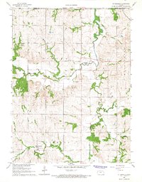 1966 St Benedict1967 Print · USGSNorthern Kansas farmland meets the Nebraska border in the late sixties, a landscape defined by rolling prairie and meandering streams. Genealogists can locate St Benedict, trace roots at St Marys Cem, or follow the Chicago Rock Island and Pacific railroad line.
 - 1986 Map of Blue Rapids
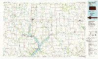 1986 Blue Rapids1986 Print · USGSNortheast Kansas in the mid-eighties was a landscape of river-valley towns and steady rail lines. Researchers can trace family ties and early settlements from Hollenberg and Marysville down to the shores of Tuttle Creek Lake and the Big Blue River.2 unique versions available
 - 2009 Map of Saint Benedict, 2009 Print
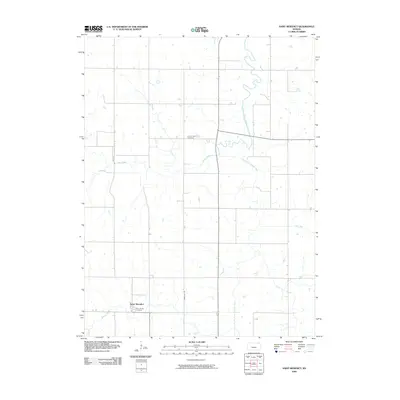 2009 Saint Benedict2009 Print · USGSNemaha County farmland is captured here in the early twenty-first century, showing the enduring rural layout of the Kansas plains. Researchers can locate family landmarks such as Saint Marys Cemetery and Scotch Valley Cemetery or trace the winding South Fork Nemaha River.
 - 2012 Map of Saint Benedict, 2012 Print
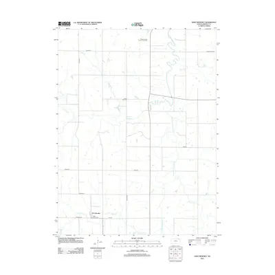 2012 Saint Benedict2012 Print · USGSSaint Benedict and the surrounding Nemaha County countryside are captured here in the early twenty-first century. Researchers can trace family ties at the Saint Mary's Cem or explore the landscape around Ehrsam and the S Fork Big Nemaha River.
 - 2015 Map of Saint Benedict, 2015 Print
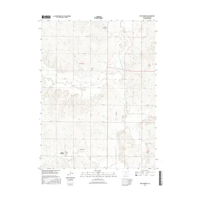 2015 Saint Benedict2015 Print · USGSNemaha County's rural landscape is captured here in the mid-2010s, centered on the historic community of Saint Benedict. Researchers can trace local heritage through sites like Saint Mary's Cem and follow the course of the South Fork Big Nemaha River.
 - 2018 Map of Saint Benedict, 2018 Print
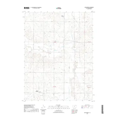 2018 Saint Benedict2018 Print · USGSSaint Benedict and the surrounding Nemaha County countryside appear here in the late twenty-first century, showing a landscape defined by farming and faith. Researchers can locate Saint Mary's Cem, Scotch Valley Cem, and the winding South Fork Big Nemaha River.
 - 2022 Map of Saint Benedict, 2022 Print
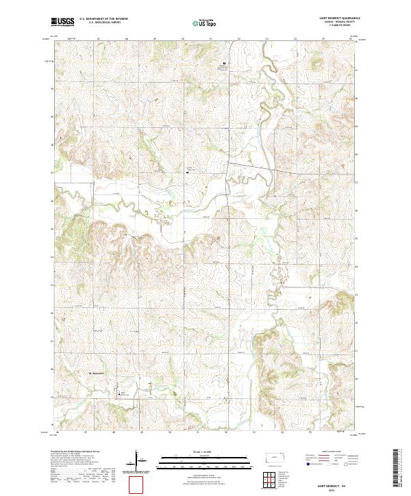 2022 Saint Benedict2022 Print · USGSThe community of St. Benedict remains an agricultural anchor in Nemaha County, shown here in the early twenty-first century. Genealogists can trace local roots at Saint Marys Cem or follow the winding South Fork Big Nemaha River.
End of results
Showing maps 1-12 of 12
Top cities near Saint Benedict
- Seneca historical maps
- Pawnee City historical maps
- Centralia historical maps
- Axtell historical maps
- Bern historical maps
- Goff historical maps
See more
Frequently asked questions
- What are the different types of historical maps available for Saint Benedict?
- What is the oldest map of Saint Benedict?
- Where can I purchase historical maps of Saint Benedict for my home or office?
- Where can I download high-res historical maps of Saint Benedict?
- Are there historical topographic maps available for Saint Benedict?
- Is there historical aerial imagery available for Saint Benedict?
- Where are historical maps of Saint Benedict sourced from?