Old Maps of Rockwell, Kansas for Genealogy
Trace your family roots with 11 historic maps of Rockwell. These high-res maps reveal old neighborhoods, homesites, landmarks, and streets — helping you uncover where your ancestors lived and how the area evolved over time.
- Explore historic neighborhoods: Identify where your relatives may have lived in the 1800s or 1900s.
- Compare maps over time: Trace the changes in streets, buildings, and landmarks for multi-generational research.
- Perfect for genealogy & ancestry research: Used by family historians and researchers to map out lineage and migration.
These maps are an incredible resource for exploring your personal connection to Rockwell's past.
Rockwell, KS maps
(11)- 1951 Map of Norcatur, 1952 Print
 1951 Norcatur1952 Print · USGSThe northern Kansas high plains come into focus in the early fifties, showing a landscape defined by isolated farmsteads and rural schools. Genealogists can trace family roots through landmarks like Hudson Pillar Sch, Maple Grove Cem, and the small rail stops of Reager and Oronoque.2 unique versions available
 - 1954 Map of Goodland, 1976 Print
 1954 Goodland1976 Print · USGSNorthwest Kansas comes into focus during the mid-1950s, showing a landscape defined by its vital river forks and thriving rail towns. Researchers can trace the path of the Union Pacific through Colby or locate historic parks like Sheridan Co State Park.
 - 1956 Map of Goodland
 1956 Goodland1956 Print · USGSThe high plains of Northwest Kansas in the mid-fifties reveal a landscape of river-fed agriculture and expanding rail networks. Genealogists and historians can trace the development of county seats like Goodland and Atwood or locate landmarks such as the Arikaree Breaks.
 - 1957 Map of Goodland
 1957 Goodland1957 Print · USGSNorthwest Kansas in the mid-1950s shows a landscape of high plains agriculture and vital rail junctions. Researchers can trace the river-valley settlements from Goodland to Oberlin and follow the paths of the Union Pacific and Sappa Creek.2 unique versions available
 - 1978 Map of Reager, 1979 Print
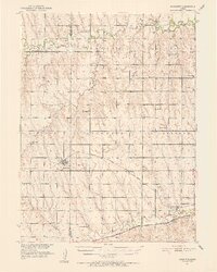
 1978 Reager1979 Print · USGSThe high plains of Norton County are captured here in the late seventies, showing a landscape shaped by water and rail. Researchers can locate the Oronoque Cem, trace the paths of competing railroads, and find small communities like Reager and Dellvale.
 - 1985 Map of Oberlin
 1985 Oberlin1985 Print · USGSNorthwest Kansas in the mid-eighties was a landscape of resilient prairie towns and winding creek drainages. Researchers can trace the Burlington Northern rail corridor through Jennings and Selden or locate local landmarks like the Municipal Airport and Keith Sebelius Lake.2 unique versions available
 - 2009 Map of Reager, 2009 Print
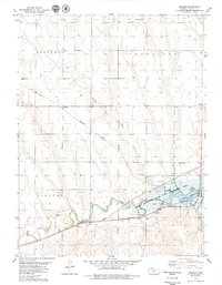
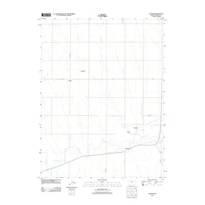
 2009 Reager2009 Print · USGSCovers Rockwell, including Oronoque, Reager, and other nearby areas
 - 2012 Map of Reager, 2012 Print
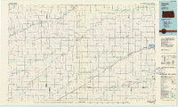
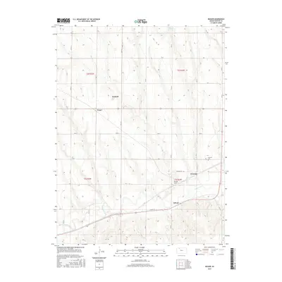
 2012 Reager2012 Print · USGSCovers Rockwell, including Oronoque, Reager, and other nearby areas
 - 2015 Map of Reager, 2015 Print
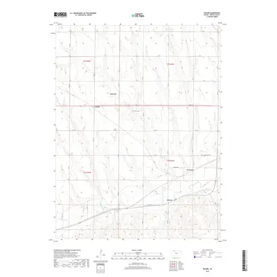
 2015 Reager2015 Print · USGSCovers Rockwell, including Oronoque, Reager, and other nearby areas
 - 2018 Map of Reager, 2018 Print
 2018 Reager2018 Print · USGSCovers Rockwell, including Oronoque, Reager, and other nearby areas
 - 2022 Map of Reager, 2022 Print
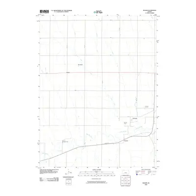
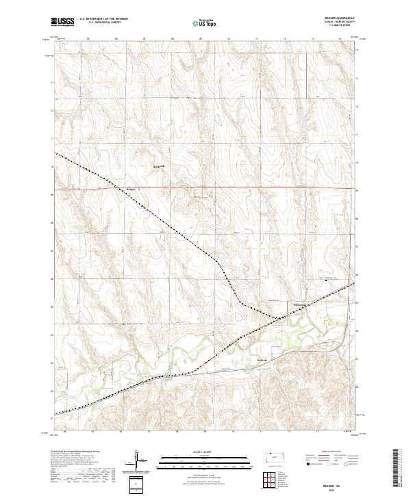 2022 Reager2022 Print · USGSNorton County's rural heartland is documented here in the early twenty-first century, showing the enduring agricultural grid of western Kansas. Researchers can locate family sites near Oronoque, Dellvale, and the Oronoque Cem along the Prairie Dog Cr valley.
End of results
Showing maps 1-11 of 11
Top cities near Rockwell
- Norton historical maps
- Lenora historical maps
- Norcatur historical maps
- Jennings historical maps
- Lebanon historical maps
Frequently asked questions
- What are the different types of historical maps available for Rockwell?
- What is the oldest map of Rockwell?
- Where can I purchase historical maps of Rockwell for my home or office?
- Where can I download high-res historical maps of Rockwell?
- Are there historical topographic maps available for Rockwell?
- Is there historical aerial imagery available for Rockwell?
- Where are historical maps of Rockwell sourced from?