2020s Maps of Ottawa County, Kansas
Explore 24 historic maps of Ottawa County from the 2020s. These maps offer a rare glimpse into what life looked like during the 2020s — showing old roads, neighborhoods, homes, and landmarks that have changed or disappeared over time.
Whether you're researching your family's past, planning a metal detecting trip, or studying how Ottawa County's landscape evolved across the 2020s, these high-resolution maps are a powerful tool for exploring the history of this region.
- Focus on a specific era: All maps on this page are from the 2020s, giving you a focused view of this time period.
- See what’s changed: Compare century-old streets, trails, and buildings to today's modern landscape using overlays and satellite layers.
- Research with precision: Use these maps for genealogy, historical research, land use analysis, or educational projects.
- View, download, or print: Maps are fully viewable online in high resolution, and can be downloaded or printed for your own records.
Start exploring Ottawa County's history through authentic maps from the 2020s. This is your window into the past.
Ottawa County, KS maps
(24)- 2022 Map of Niles, 2022 Print
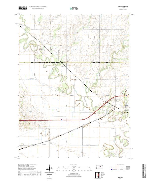 2022 Niles2022 Print · USGSOttawa and Saline counties are shown here in the 2020s, centered on the river valleys of the Solomon River and Smoky Hill River. Genealogists can trace local landmarks like Greenville Cem and Mount Calvary Cem near the town of Solomon.
 - 2022 Map of Solomon, 2022 Print
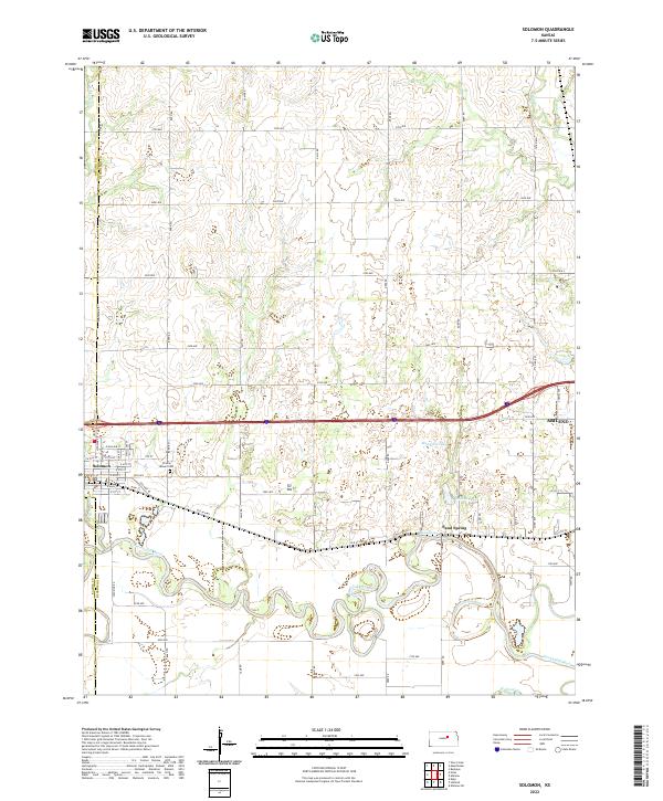 2022 Solomon2022 Print · USGSThe river junction at Solomon and the neighboring plains of Dickinson County are captured here in the early twenty-first century. Genealogists and researchers can trace local landmarks like Prairie Mound Cemetery and the settlement at Sand Spring.
 - 2022 Map of New Cambria, 2022 Print
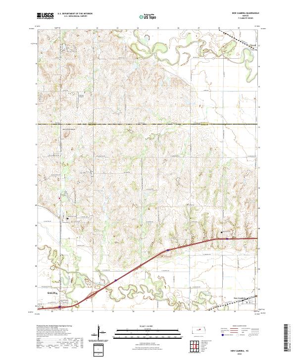 2022 New Cambria2022 Print · USGSThe river valleys of central Kansas come into sharp focus in this modern era, documenting the landscape where the Solomon River and Saline River meet. Researchers can pinpoint Humbargar Cemetery, trace early routes like Old Hwy 40, and locate New Cambria and the outskirts of Salina.
 - 2022 Map of Aurora SW, 2022 Print
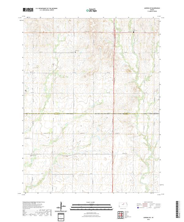 2022 Aurora SW2022 Print · USGSThe Cloud and Ottawa county line crosses this central Kansas agricultural landscape as it appeared in recent years. Researchers can trace rural cemetery sites such as Saint Peters Cem and Bethel Cem along with the winding course of Yockey Cr.
 - 2022 Map of Tescott, 2022 Print
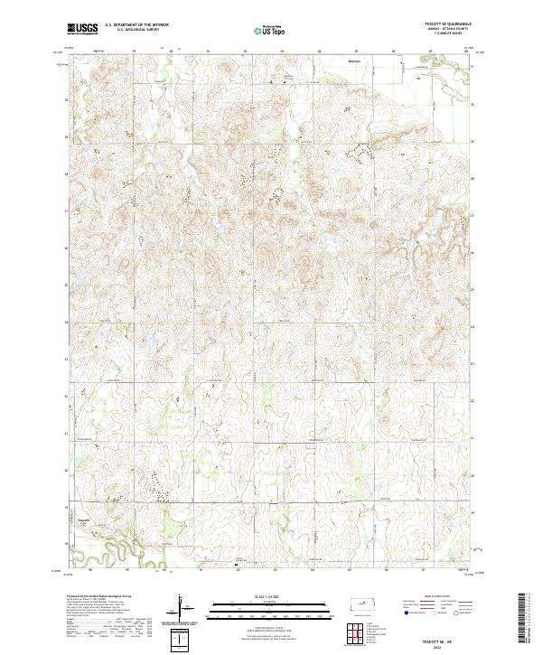
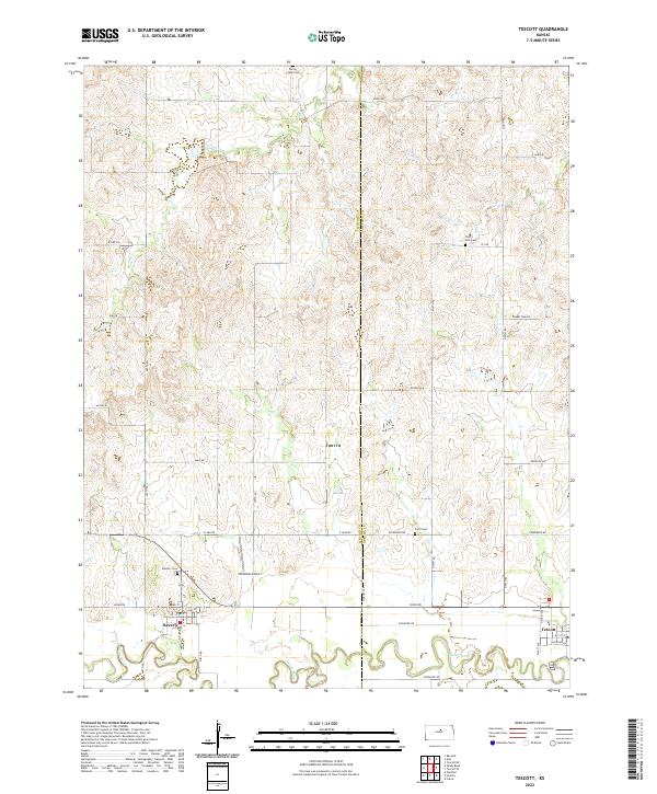 2022 Tescott2022 Print · USGSThe rural border of Ottawa and Lincoln Counties comes into focus during this modern era of Kansas settlement. Researchers can trace the path of the Saline River and locate local landmarks like Twin Hills Cem and the small airfield at Hillbillies Airport.
 - 2022 Map of Manchester NW, 2022 Print
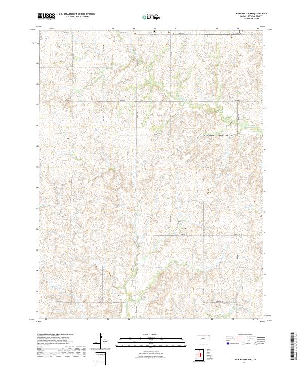 2022 Manchester NW2022 Print · USGSOttawa County at the start of the 2020s remains a landscape of traditional section lines and winding creek beds. Researchers can locate the Mount Liberty Church Cem or trace the paths of W Chapman Cr and Vine Cr across the prairie.
 - 2022 Map of Bennington, 2022 Print
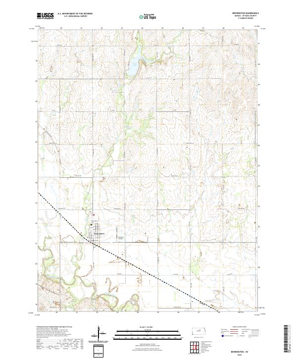 2022 Bennington2022 Print · USGSOttawa County's prairie landscape comes into focus in this contemporary survey of Bennington. Genealogists and local historians can map the town's growth from Bennington Cem to the banks of the Solomon River and State Lake.
 - 2022 Map of Tescott NE, 2022 Print
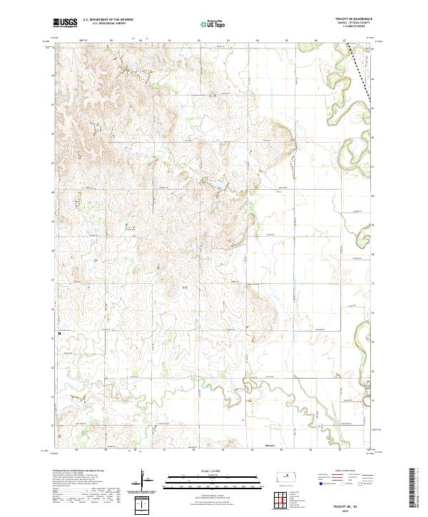 2022 Tescott NE2022 Print · USGSOttawa County's river valleys and prairie uplands are captured here in the early twenty-first century as the traditional agricultural grid remains firmly intact. Researchers can locate the settlement of Brewer and trace family history at Fairview Cem or along the winding Solomon River.
 - 2022 Map of Miltonvale, 2022 Print
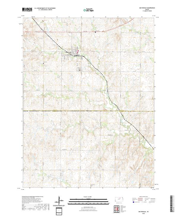 2022 Miltonvale2022 Print · USGSMiltonvale and the surrounding Cloud County farmsteads are shown in detail as they appeared in the early 2020s. Genealogists can locate several historic burial sites like Smith Grave and Mount Liberty Church Cem along the waters of Chapman Cr.
 - 2022 Map of Minneapolis North, 2022 Print
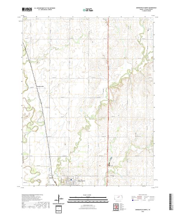 2022 Minneapolis North2022 Print · USGSOttawa County's agricultural heartland is documented here in the early twenty-first century as the section-line grid meets the winding Solomon River. Researchers can locate Minneapolis, the settlement at Summerville, and family-history landmarks such as Hall Cem.
 - 2022 Map of Ada, 2022 Print
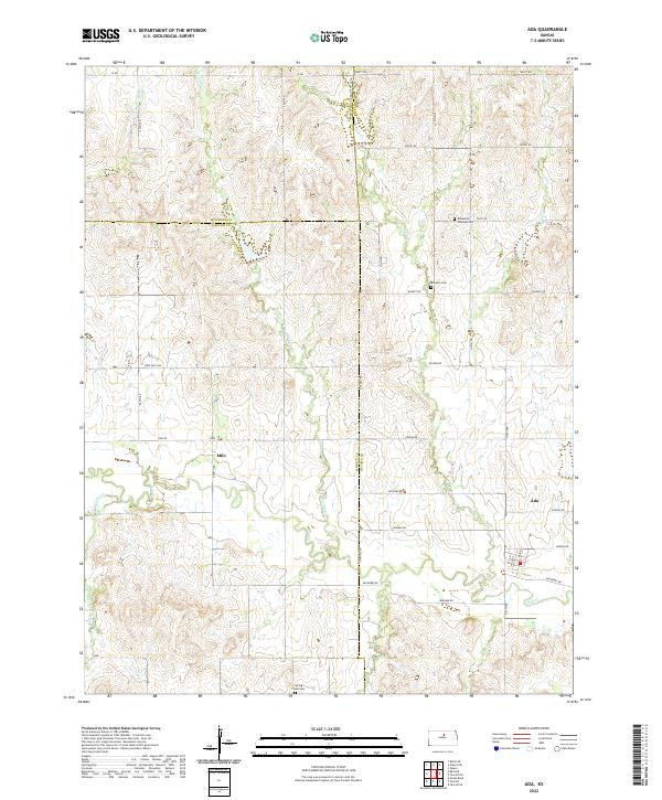 2022 Ada2022 Print · USGSThe rural landscapes of Ottawa and Lincoln Counties are captured here as they appeared in the early twenty-first century. Genealogists and local historians can trace family roots through the Bohemian National Cem, the settlement at Ada, and the banks of Salt Cr.
 - 2022 Map of Idana, 2022 Print
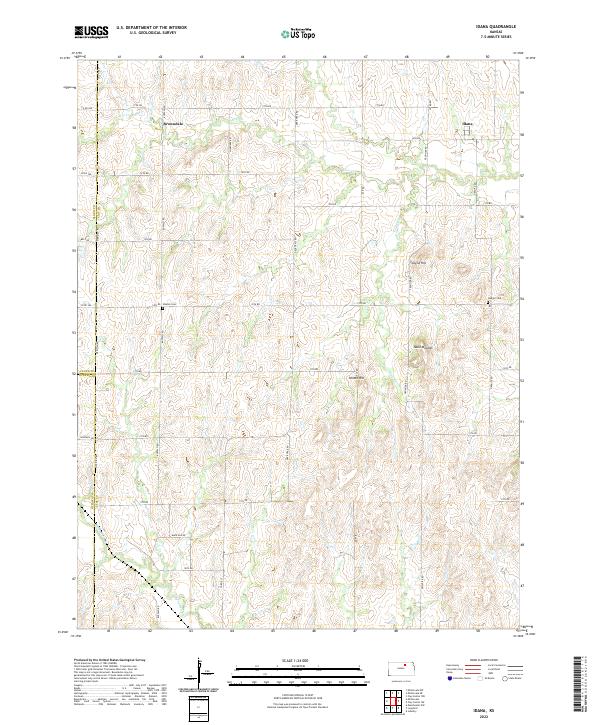 2022 Idana2022 Print · USGSClay County at the dawn of the 2020s shows a landscape of enduring rural settlements and prairie landmarks. Researchers can locate family burial sites at Hebron Cem and trace the paths of Five Cr through Idana and Browndale.
 - 2022 Map of Glasco SW, 2022 Print
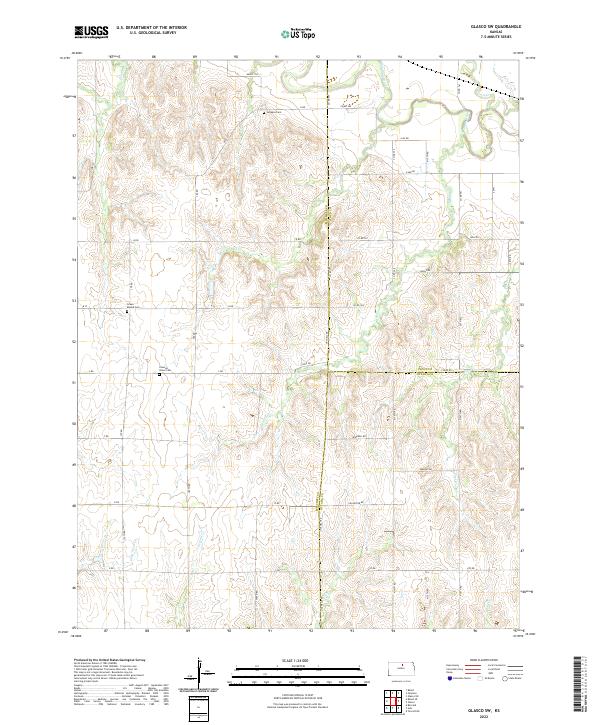 2022 Glasco SW2022 Print · USGSNorth-central Kansas at the transition of Mitchell, Cloud, and Ottawa counties remains a landscape of deep creek drainages and quiet prairie roads. Genealogists can trace family heritage at Simpson Cem, Green Mound Cem, and Coursen Grove Cem near the Solomon River.
 - 2022 Map of Glasco, 2022 Print
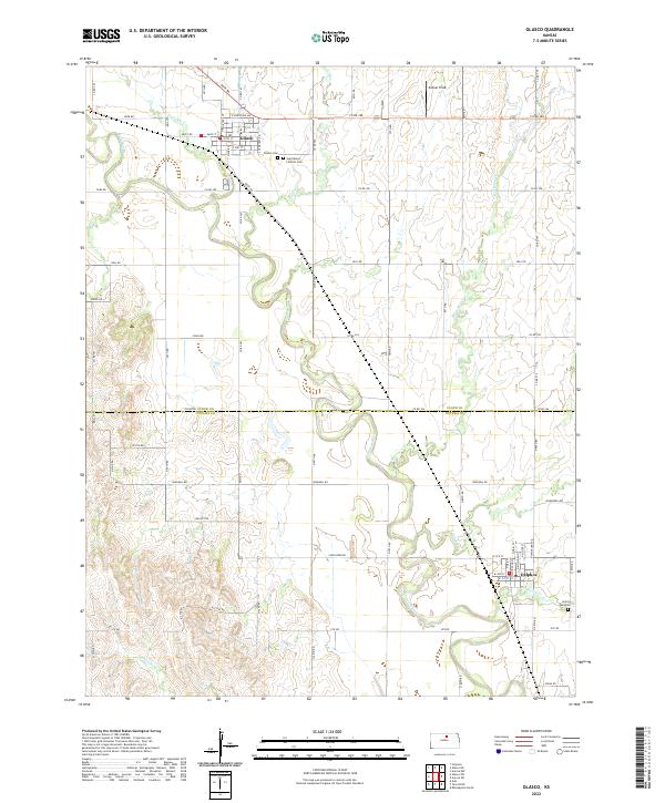 2022 Glasco2022 Print · USGSNorth Central Kansas at the start of the 2020s remains centered on the river valley life of the Solomon River. Genealogists and local historians can trace the rural landscape surrounding Glasco and Delphos, including the Saint Marys Catholic Cem and Palmer Field.
 - 2022 Map of Manchester, 2022 Print
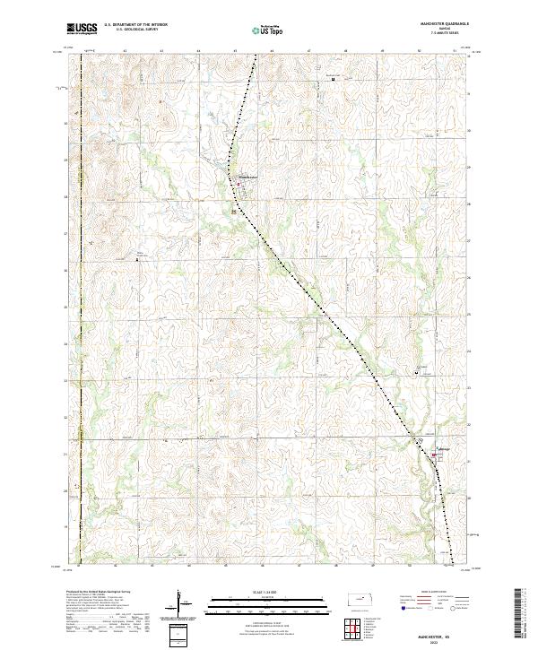 2022 Manchester2022 Print · USGSNorthwestern Kansas farmland comes into focus in the early twenty-first century, centered on the rural communities of Manchester and Talmage. Genealogists can trace family plots at Keystone Cem or White Cloud Cem while following the path of Mud Creek.
 - 2022 Map of Longford, 2022 Print
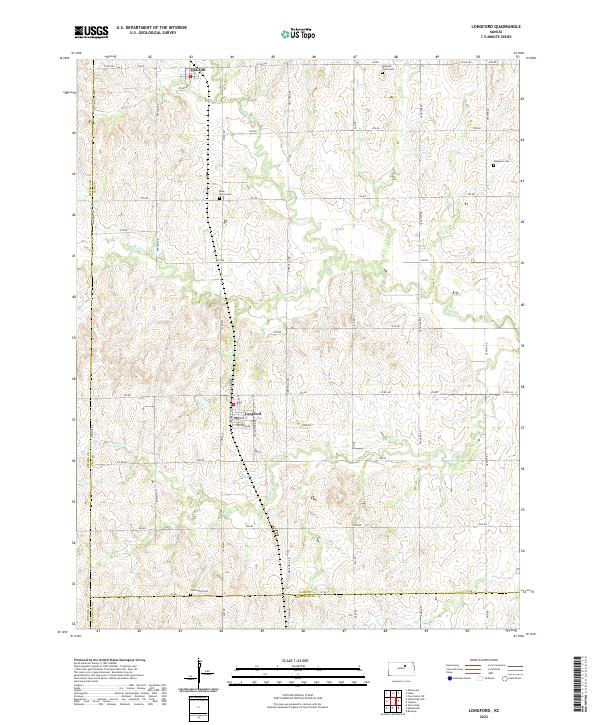 2022 Longford2022 Print · USGSLongford and the surrounding Kansas prairie are captured here in the early twenty-first century. Genealogists can trace family roots at Pleasant Valley Cem, Rose Meron Cem, and Swartwood Cem along the creek bottoms.
 - 2022 Map of Tescott SE, 2022 Print
 2022 Tescott SE2022 Print · USGSOttawa County agricultural lands near the Saline River are captured here in the early twenty-first century. Researchers can trace local history through markers like Culver Union Cem, the community of Tescott, and rural routes including Justice Rd.
 - 2022 Map of Lamar, 2022 Print
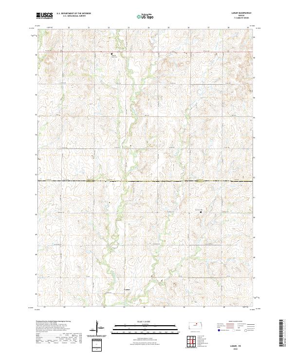 2022 Lamar2022 Print · USGSThe rural landscapes of north-central Kansas are captured here during the early twenty-first century, showing the intersection of Cloud and Ottawa counties. Genealogists can locate Oakland Union Cem and Fairview Cem or trace the course of Middle Pipe Cr.
 - 2022 Map of Vine Creek, 2022 Print
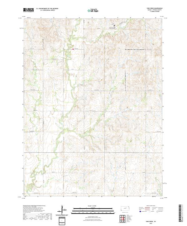 2022 Vine Creek2022 Print · USGSOttawa County, Kansas, is shown here in its modern rural character, defined by a rigid grid of section-line roads and winding prairie streams. Researchers can locate the Vine Creek Cem and follow the paths of Coal Cr and Vine Cr across the landscape.
 - 2022 Map of Wells, 2022 Print
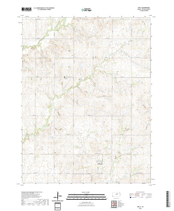 2022 Wells2022 Print · USGSOttawa County's rolling prairie comes into focus in this recent survey of the Kansas plains. Researchers can trace the layout of Wells and locate family burial sites at Pleasant Hill Cem near the headwaters of Lindsey Cr.
 - 2022 Map of Minneapolis South, 2022 Print
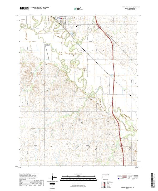 2022 Minneapolis South2022 Print · USGSIn the Solomon River valley, this recent survey shows the evolution of agricultural life and infrastructure in Ottawa County. Genealogists can locate family sites near Highland Cem or trace the rural grid from Lindsey to the Minneapolis City County Airport.
 - 2022 Map of Trenton, 2022 Print
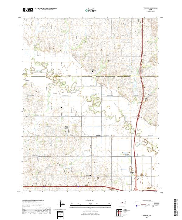 2022 Trenton2022 Print · USGSThe Saline River valley north of Salina is captured here in the early twenty-first century, showing a landscape defined by prairie agriculture. Trace family roots at Crown Point Cem or explore the small communities of Trenton, Shipton, and Marydel.
 - 2022 Map of Culver, 2022 Print
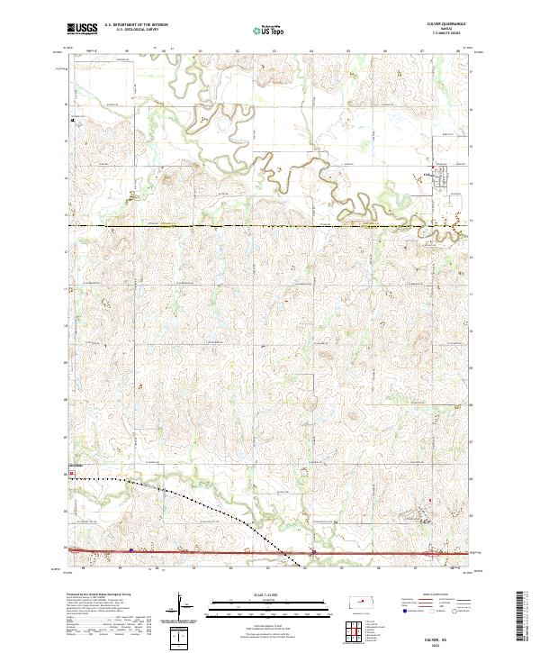 2022 Culver2022 Print · USGSOttawa and Saline counties are shown in this modern survey of the Kansas prairie as the landscape transitions across the Saline River. Genealogists and local historians can trace the grid of rural section roads to Franklin Cem or the small settlements at Culver and Glendale.
 - 2022 Map of Juniata, 2022 Print
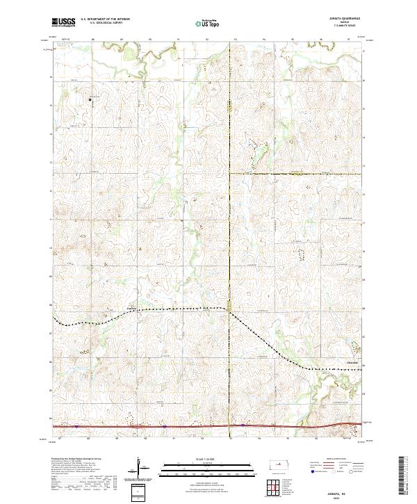 2022 Juniata2022 Print · USGSThe intersection of Lincoln, Ottawa, and Saline Counties comes into focus in this contemporary survey of the Kansas plains. Researchers can trace local heritage at Monroe Cem or follow the watercourses of Saline River and Table Rock Cr.
End of results
Showing maps 1-24 of 24
Top cities of Ottawa County
- Minneapolis historical maps
- Bennington historical maps
- Delphos historical maps
- Tescott historical maps
- Culver historical maps
Frequently asked questions
- What are the different types of historical maps available for Ottawa County?
- What is the oldest map of Ottawa County?
- Where can I purchase historical maps of Ottawa County for my home or office?
- Where can I download high-res historical maps of Ottawa County?
- Are there historical topographic maps available for Ottawa County?
- Is there historical aerial imagery available for Ottawa County?
- Where are historical maps of Ottawa County sourced from?