1960s Maps of Ottawa County, Kansas
Explore 18 historic maps of Ottawa County from the 1960s. These maps offer a rare glimpse into what life looked like during the 1960s — showing old roads, neighborhoods, homes, and landmarks that have changed or disappeared over time.
Whether you're researching your family's past, planning a metal detecting trip, or studying how Ottawa County's landscape evolved across the 1960s, these high-resolution maps are a powerful tool for exploring the history of this region.
- Focus on a specific era: All maps on this page are from the 1960s, giving you a focused view of this time period.
- See what’s changed: Compare century-old streets, trails, and buildings to today's modern landscape using overlays and satellite layers.
- Research with precision: Use these maps for genealogy, historical research, land use analysis, or educational projects.
- View, download, or print: Maps are fully viewable online in high resolution, and can be downloaded or printed for your own records.
Start exploring Ottawa County's history through authentic maps from the 1960s. This is your window into the past.
Ottawa County, KS maps
(18)- 1961 Map of Tescott NE, 1963 Print
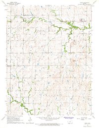
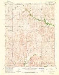
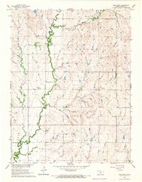
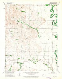 1961 Tescott NE1963 Print · USGSOttawa County at the start of the 1960s shows a landscape of river bends and rail lines. Trace family sites near Fairview Cem or follow the paths of the Union Pacific and Atchison Topeka and Santa Fe railroads.
 - 1963 Map of Juniata, 1964 Print
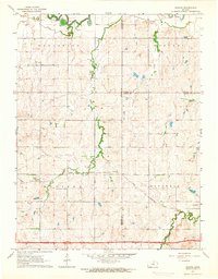 1963 Juniata1964 Print · USGSCentral Kansas at the start of the 1960s shows a landscape defined by the convergence of three counties and steady rail traffic. Genealogists and local historians can trace the paths of the Atchison Topeka and Santa Fe through Juniata and find the rural Monroe Cem.2 unique versions available
 - 1963 Map of Solomon, 1965 Print
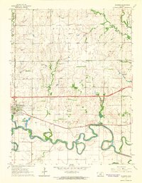 1963 Solomon1965 Print · USGSThe confluence of the Smoky Hill River and two major railroads defined life in central Kansas during the early sixties. Researchers can trace family landmarks like Willowdale Ch, Prairie Mound Cem, and the King Solomon Camp as the interstate era began.3 unique versions available
 - 1964 Map of Lamar, 1965 Print
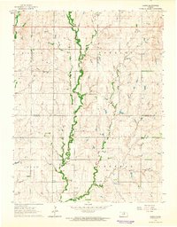 1964 Lamar1965 Print · USGSNorth-central Kansas prairie life is documented here in the early sixties, centered on the border of Cloud and Ottawa counties. Genealogists can locate family landmarks like the Rocky Hill Sch, Fairview Cem, and the small community of Lamar along the banks of Middle Pipe Creek.
 - 1964 Map of Idana, 1966 Print
 1964 Idana1966 Print · USGSClay and Ottawa counties are captured here in the mid-1960s, showing a rural landscape of winding creek beds and traditional townships. Genealogists can locate family landmarks like Shields Cem, Browndale Sch, and the quiet settlement of Idana.
 - 1964 Map of Miltonvale, 1966 Print
 1964 Miltonvale1966 Print · USGSMiltonvale stood as a thriving collegiate and railroad town in north-central Kansas during the mid-sixties. Local researchers can trace the grounds of Miltonvale Wesleyan College and follow the Atchison Topeka and Santa Fe rail line through the valley of Chapman Creek.
 - 1964 Map of Ada, 1966 Print
 1964 Ada1966 Print · USGSNorth-central Kansas in the mid-sixties reveals a landscape shaped by the rail-and-river economy where the Atchison Topeka and Santa Fe meets the valley of Salt Creek. Researchers can locate family roots at the Bohemian National Cem or trace the early foundations of Ada and Milo.
 - 1965 Map of Minneapolis South, 1966 Print
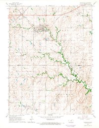
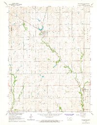
 1965 Minneapolis South1966 Print · USGSOttawa County's river-bottom lands are shown in great detail during the mid-1960s, centered on the rail hub of Minneapolis. Genealogists and historians can trace local landmarks like Highland Cemetery, the small community of Lindsey, and the path of the Union Pacific railroad.2 unique versions available
 - 1965 Map of Manchester NW, 1966 Print
 1965 Manchester NW1966 Print · USGSOttawa County farm country is captured here in the mid-sixties, showing the rural township structure before modern consolidation. Genealogists can locate family landmarks like Bethany Ch, Union Sch, and the Atchison Topeka and Santa Fe rail line.
 - 1965 Map of Tescott, 1966 Print
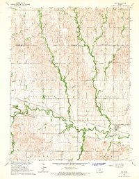
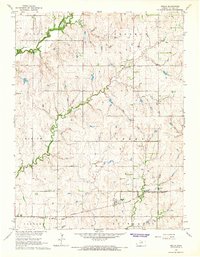
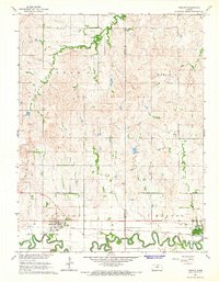 1965 Tescott1966 Print · USGSThe Saline River valley in the mid-1960s remains a vital rail and ranching corridor along the Lincoln and Ottawa county line. Genealogists and local historians can trace the foundations of Beverly and Tescott or locate family plots in Beverly Cem and Twin Hills Cem.
 - 1965 Map of Minneapolis North, 1966 Print
 1965 Minneapolis North1966 Print · USGSOttawa County, Kansas, is captured here in the mid-sixties at the junction of the Solomon River and major rail corridors. Researchers can trace the layout of Minneapolis and locate outlying rural landmarks like Hall Ch or the tiny settlement of Alfmil.
 - 1965 Map of Aurora SW, 1966 Print
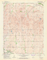
 1965 Aurora SW1966 Print · USGSNorth Central Kansas in the mid-sixties reveals a rural landscape divided by the townships of Lyon and Sheridan. Genealogists and historians can trace local landmarks like Delphos Cem, Bethel Ch, and the winding banks of Yockey Creek.
 - 1965 Map of Vine Creek, 1966 Print
 1965 Vine Creek1966 Print · USGSOttawa County, Kansas, is captured in the mid-1960s as a landscape of rural farmsteads and township grids. Genealogists can trace family roots near Vine Creek (Vilas), the Vine Creek Cem, and the path of the Atchison Topeka and Santa Fe rail line.
 - 1965 Map of Wells, 1966 Print
 1965 Wells1966 Print · USGSOttawa County farmland and the small settlement of Wells are captured here in the mid-1960s, showing a landscape defined by rail and river. You can trace family history at the Pleasant Hill Cem or follow the route of the ATCHISON TOPEKA AND SANTA FE railroad.
 - 1965 Map of Bennington, 1966 Print
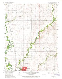
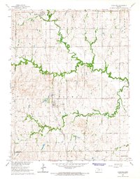
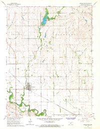 1965 Bennington1966 Print · USGSOttawa County in the mid-sixties reveals a landscape shaped by the Solomon River and the steady path of the Union Pacific rail line. Genealogists and local researchers can trace the streets of Bennington, the local Cem, and the recreation area at Ottawa County State Lake.
 - 1965 Map of Tescott SE, 1966 Print
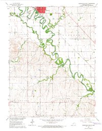
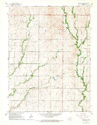
 1965 Tescott SE1966 Print · USGSOttawa County farmland and river bottoms are captured here in the mid-sixties, showing a landscape defined by rail and river. Genealogists and historians can trace family locations near Pleasant Hill Cem, the town of Tescott, and the Saline River valley.
 - 1965 Map of Manchester, 1966 Print
 1965 Manchester1966 Print · USGSAgricultural life in central Kansas is captured here in the mid-1960s, showing the intersection of rail transport and rural townships. Researchers can trace the path of the Atchison Topeka and Santa Fe through Manchester or locate family plots at White Cloud Cem and Prairedale Cem.2 unique versions available
 - 1965 Map of Longford, 1966 Print
 1965 Longford1966 Print · USGSThe Kansas prairie near the Clay and Ottawa county lines is captured here in the mid-sixties, anchored by the town of Longford. Family historians can trace local roots through several rural burial grounds like Swartwood Cem and old landmarks like Walker Sch.
End of results
Showing maps 1-18 of 18
Top cities of Ottawa County
- Minneapolis historical maps
- Bennington historical maps
- Delphos historical maps
- Tescott historical maps
- Culver historical maps
Frequently asked questions
- What are the different types of historical maps available for Ottawa County?
- What is the oldest map of Ottawa County?
- Where can I purchase historical maps of Ottawa County for my home or office?
- Where can I download high-res historical maps of Ottawa County?
- Are there historical topographic maps available for Ottawa County?
- Is there historical aerial imagery available for Ottawa County?
- Where are historical maps of Ottawa County sourced from?