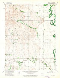
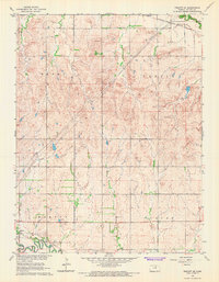
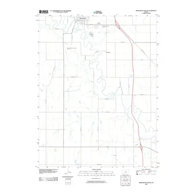
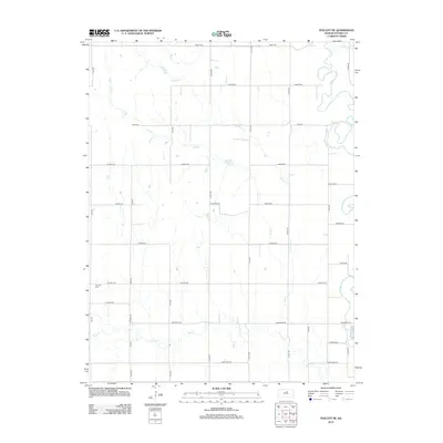
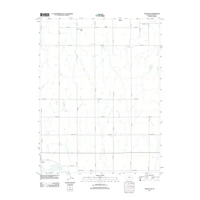
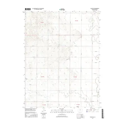
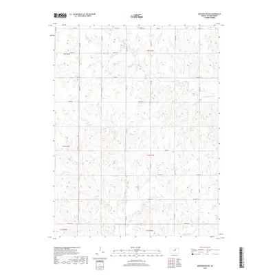
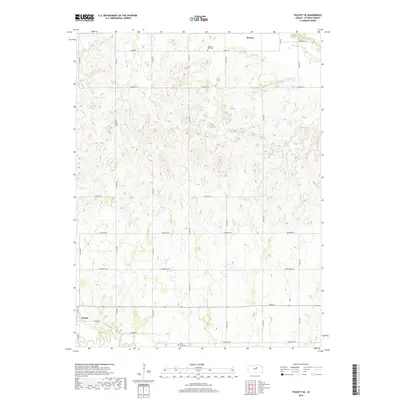
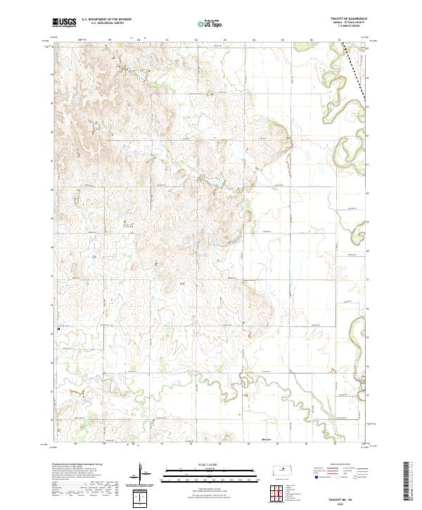
1961 Map of Tescott NE
USGS Topo · Published 1963About this map
The Solomon River defines the eastern edge of this 1961 landscape in Ottawa County, meandering through a broad valley floor. To the west, the terrain transitions into more dissected uplands through the townships of Stanton and Fountain. Transportation and industry in the early 1960s were anchored by the Atchison Topeka and Santa Fe railroad corridor in the south and the Union Pacific tracks tracing the river bend in the northeast. For local history researchers, the map identifies specific landmarks like Fairview Cem and several Gravel Pits, alongside a Gaging Station on Salt Creek. The survey, completed as part of the Missouri River Basin development program, shows a rural Kansas landscape of fence lines and field boundaries where Limestone Creek and Salt Creek drain toward the larger river system.
Find a feature on this map
16 named features on this map. Tap any name to fly to it.
Don’t see what you’re looking for? This feature index may not catch every label — zoom into the map to look around manually.
Map Details
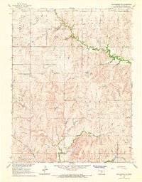
Editions of this 1961 Tescott NE Map
This is the sole edition of this map. No revisions or reprints were ever made.
Historical Maps of Ottawa County Through Time
36 maps found
1961 Tescott NE
Ottawa County, KS
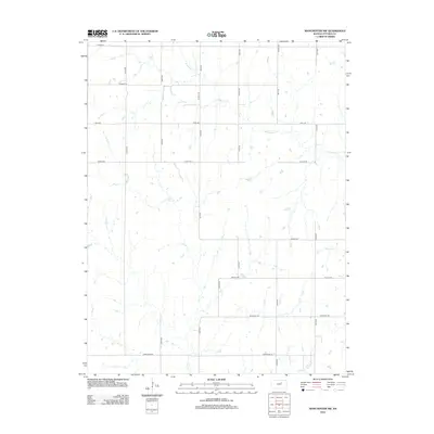
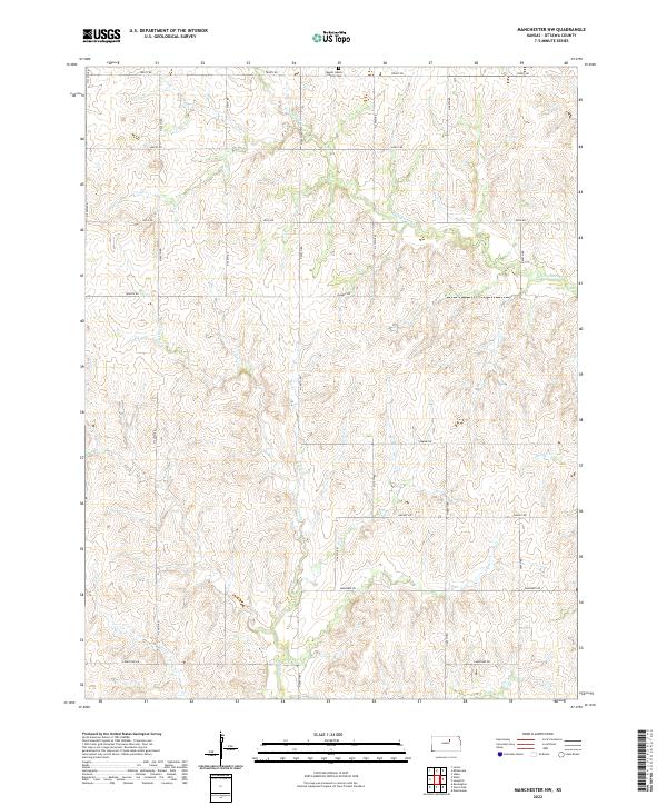
1965 Manchester NW
Ottawa County, KS
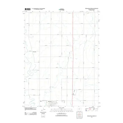
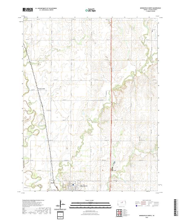
1965 Minneapolis North
Ottawa County, KS
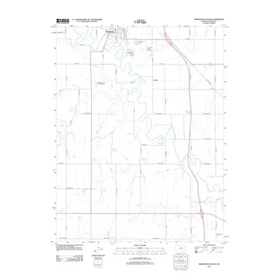
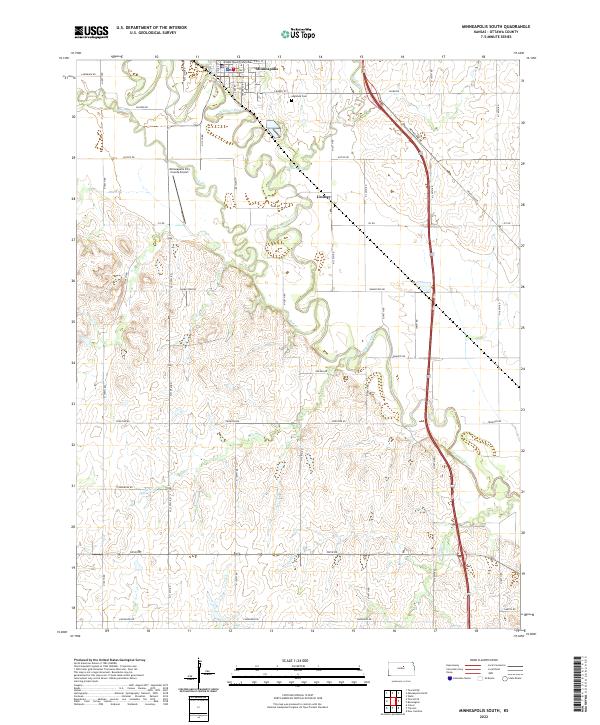
1965 Minneapolis South
Ottawa County, KS
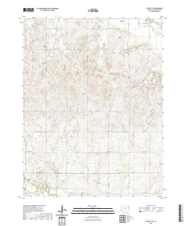
1965 Tescott SE
Ottawa County, KS
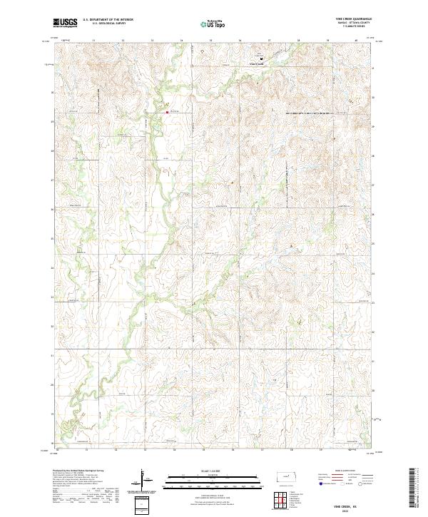
1965 Vine Creek
Ottawa County, KS
2009 Manchester NW
Ottawa County, KS
2009 Minneapolis North
Ottawa County, KS
2009 Minneapolis South
Ottawa County, KS
2009 Tescott NE
Ottawa County, KS
2009 Tescott SE
Ottawa County, KS
2009 Vine Creek
Ottawa County, KS
2012 Manchester NW
Ottawa County, KS
2012 Minneapolis North
Ottawa County, KS
2012 Minneapolis South
Ottawa County, KS
2012 Tescott NE
Ottawa County, KS
2012 Tescott SE
Ottawa County, KS
2012 Vine Creek
Ottawa County, KS
2015 Manchester NW
Ottawa County, KS
2015 Minneapolis South
Ottawa County, KS
2015 Tescott NE
Ottawa County, KS
2015 Tescott SE
Ottawa County, KS
2015 Vine Creek
Ottawa County, KS
2016 Minneapolis North
Ottawa County, KS
2018 Manchester NW
Ottawa County, KS
2018 Minneapolis North
Ottawa County, KS
2018 Minneapolis South
Ottawa County, KS
2018 Tescott NE
Ottawa County, KS
2018 Tescott SE
Ottawa County, KS
2018 Vine Creek
Ottawa County, KS
2022 Manchester NW
Ottawa County, KS
2022 Minneapolis North
Ottawa County, KS
2022 Minneapolis South
Ottawa County, KS
2022 Tescott NE
Ottawa County, KS
2022 Tescott SE
Ottawa County, KS
2022 Vine Creek
Ottawa County, KS