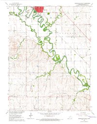
1965 Map of Minneapolis South
USGS Topo · Published 1966About this map
Minneapolis serves as the focal point of this mid-century landscape, positioned where the Atchison Topeka and Santa Fe and Union Pacific railroads converge near the banks of the Solomon River. The terrain is defined by the heavy meandering of the river and its many tributaries, including Salt Creek, Pipe Cr, and Lindsey Creek. These waterways dictate the local geography, carving through the townships of Center, Concord, Culver, and Bennington.
Find a feature on this map
16 named features on this map. Tap any name to fly to it.
Don’t see what you’re looking for? This feature index may not catch every label — zoom into the map to look around manually.
Map Details
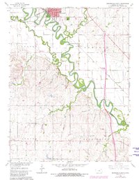
Editions of this 1965 Minneapolis South Map
2 editions found
Other maps of this area

1892 · Salina
USGS Topo · 1:125,000

1892 · Minneapolis
USGS Topo · 1:125,000

1942 · Salina
USGS Topo · 1:125,000

1955 · Trenton
USGS Topo · 1:24,000

1955 · Culver
USGS Topo · 1:24,000

1955 · New Cambria
USGS Topo · 1:24,000

1955 · Manhattan
USGS Topo · 1:250,000

1955 · Hutchinson
USGS Topo · 1:250,000

1956 · Manhattan
USGS Topo · 1:250,000

1957 · Manhattan
USGS Topo · 1:250,000