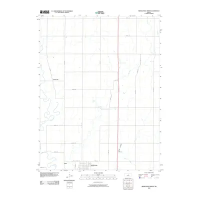
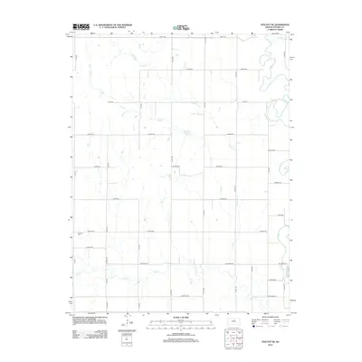
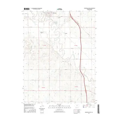
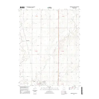
1965 Map of Minneapolis South
USGS Topo · Published 1980About this map
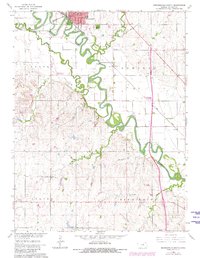
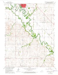
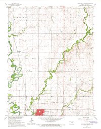
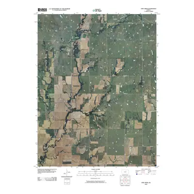
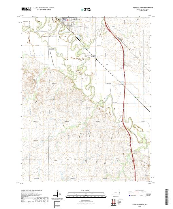
The Solomon River meanders sharply through the heart of Ottawa County, creating a complex series of oxbows and fertile bottomlands that define the region's geography. On the northern bank, the city of Minneapolis serves as a local hub, flanked by the Santa Fe and Topeka Atchison and Union Pacific railroads. The town's aviation history is well-represented by both the Solomon Valley Airport and the Minneapolis City County Airport, located just southwest of the main settlement.
Find a feature on this map
17 named features on this map. Tap any name to fly to it.
Don’t see what you’re looking for? This feature index may not catch every label — zoom into the map to look around manually.
Map Details
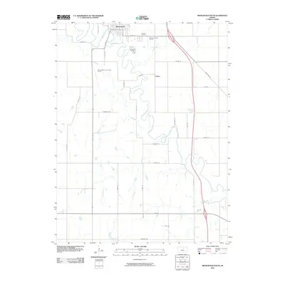
Editions of this 1965 Minneapolis South Map
2 editions found
Historical Maps of Minneapolis Through Time
36 maps found
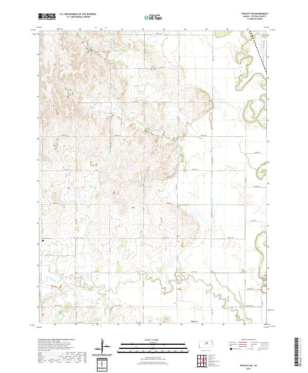
1961 Tescott NE
Ottawa County, KS
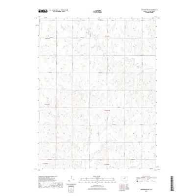
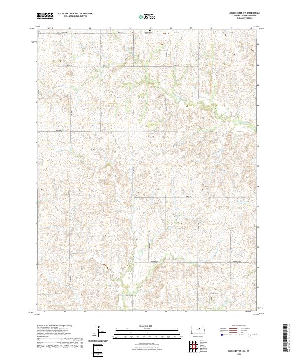
1965 Manchester NW
Ottawa County, KS
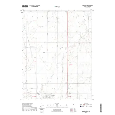
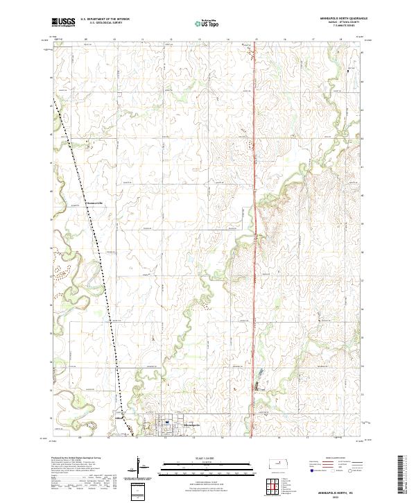
1965 Minneapolis North
Ottawa County, KS
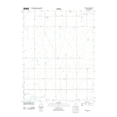
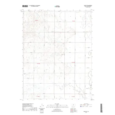
1965 Minneapolis South
Ottawa County, KS
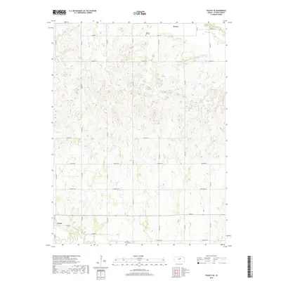
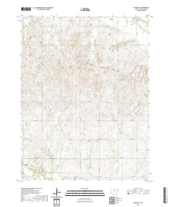
1965 Tescott SE
Ottawa County, KS
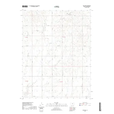
1965 Vine Creek
Ottawa County, KS
2009 Manchester NW
Ottawa County, KS
2009 Minneapolis North
Ottawa County, KS
2009 Minneapolis South
Ottawa County, KS
2009 Tescott NE
Ottawa County, KS
2009 Tescott SE
Ottawa County, KS
2009 Vine Creek
Ottawa County, KS
2012 Manchester NW
Ottawa County, KS
2012 Minneapolis North
Ottawa County, KS
2012 Minneapolis South
Ottawa County, KS
2012 Tescott NE
Ottawa County, KS
2012 Tescott SE
Ottawa County, KS
2012 Vine Creek
Ottawa County, KS
2015 Manchester NW
Ottawa County, KS
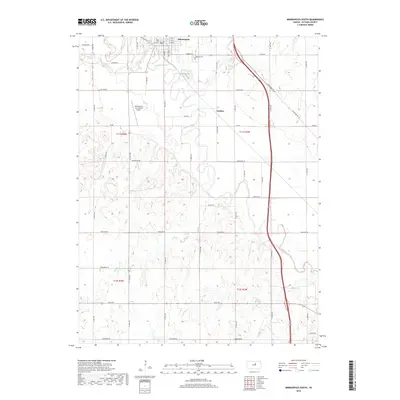
2015 Minneapolis South
Ottawa County, KS
2015 Tescott NE
Ottawa County, KS
2015 Tescott SE
Ottawa County, KS
2015 Vine Creek
Ottawa County, KS
2016 Minneapolis North
Ottawa County, KS
2018 Manchester NW
Ottawa County, KS
2018 Minneapolis North
Ottawa County, KS
2018 Minneapolis South
Ottawa County, KS
2018 Tescott NE
Ottawa County, KS
2018 Tescott SE
Ottawa County, KS
2018 Vine Creek
Ottawa County, KS
2022 Manchester NW
Ottawa County, KS
2022 Minneapolis North
Ottawa County, KS
2022 Minneapolis South
Ottawa County, KS
2022 Tescott NE
Ottawa County, KS
2022 Tescott SE
Ottawa County, KS
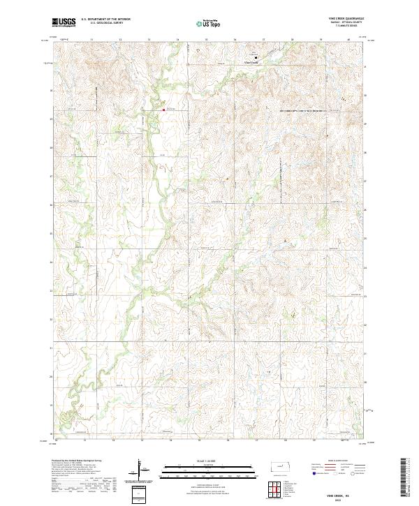
2022 Vine Creek
Ottawa County, KS