Old Maps of Croft, Kansas for Metal Detecting
Plan your next treasure hunt with 11 historic maps of Croft. Find old homesites, ghost towns, trails, and gathering spots that may be lost to time — perfect for identifying promising metal detecting locations.
- Locate forgotten sites: Uncover places like long-lost settlements, abandoned rail lines, or gathering spots.
- Plan better hunts: Use map overlays combined with LiDAR or satellite views to narrow in on historically rich areas.
- Made for detectorists: Thousands of hobbyists use these maps to discover relics, coins, and hidden history.
Use these historic maps to boost your research and find new opportunities beneath the surface of Croft.
Croft, KS maps
(11)- 1892 Map of Pratt
 1892 Pratt1892 Print · USGSCentral Kansas was undergoing a rapid rail-driven expansion when this survey was completed in the late nineteenth century. Researchers can trace the early footprints of Pratt, Saratoga, and St. John along the iron routes of the Missouri Pacific Railroad.
 - 1894 Map of Pratt
 1894 Pratt1894 Print · USGSSouth-central Kansas was rapidly transforming into a rail-driven agricultural corridor in the late nineteenth century. Genealogists and historians can trace the early footprints of settlements like Pratt, St. John, and Iuka along routes like the Missouri Pacific Railroad.5 unique versions available
 - 1955 Map of Pratt, 1968 Print
 1955 Pratt1968 Print · USGSSouth-central Kansas during the mid-fifties presents a landscape of sprawling oil fields and critical rail junctions. Researchers can trace the paths of the Atchison Topeka and Santa Fe railroad or locate local landmarks like the Blue Ridge Community House and Camp Carlisle.3 unique versions available
 - 1959 Map of Pratt
 1959 Pratt1959 Print · USGSSouth-central Kansas thrived as a rail and agricultural hub in the late fifties, where the Arkansas River meets a vast grid of section roads. Researchers can trace the path of the Missouri Pacific railroad through settlements like Turon and Stafford, or locate family landmarks like the Prairie Oak School.2 unique versions available
 - 1968 Map of Croft, 1970 Print
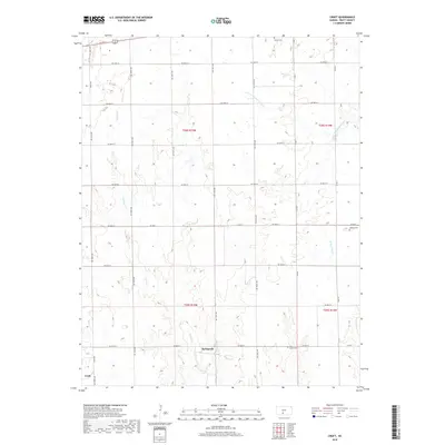
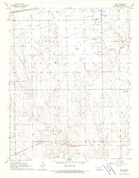 1968 Croft1970 Print · USGSPratt County's rural townships are captured here in the late sixties, highlighting the vital rail corridors and creek-fed ranchlands of the Kansas prairie. Genealogists can locate Sunset Cem and East Slope Cem or trace the early paths of Springvale and Cullison.
 - 1985 Map of Pratt
 1985 Pratt1985 Print · USGSMid-1980s South Central Kansas is captured here as a landscape of rail-connected farming towns and energy fields. Researchers can trace the Old Indian Treaty Boundary or locate local landmarks like Walnut Hill Cemetery and the State Fish Hatchery.2 unique versions available
 - 2009 Map of Croft, 2009 Print
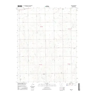
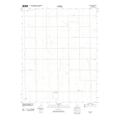 2009 Croft2009 Print · USGSCovers Croft, including Springvale, Pratt County, and other nearby areas
 - 2012 Map of Croft, 2012 Print
 2012 Croft2012 Print · USGSCovers Croft, including Springvale, Pratt County, and other nearby areas
 - 2015 Map of Croft, 2015 Print
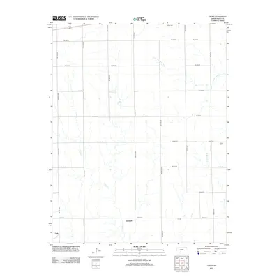
 2015 Croft2015 Print · USGSCovers Croft, including Springvale, Pratt County, and other nearby areas
 - 2018 Map of Croft, 2018 Print
 2018 Croft2018 Print · USGSCovers Croft, including Springvale, Pratt County, and other nearby areas
 - 2022 Map of Croft, 2022 Print
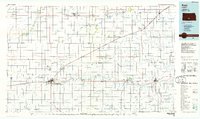
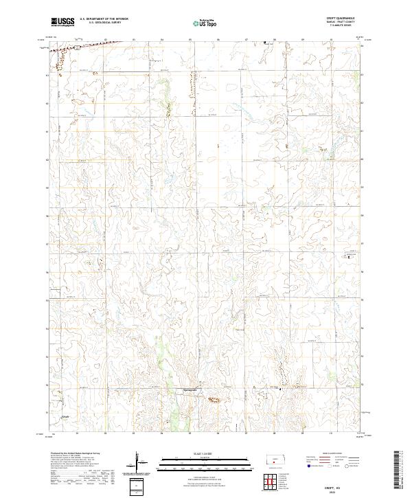 2022 Croft2022 Print · USGSPratt County agricultural life is captured here in the early twenty-first century, showing the enduring grid of section roads and rural settlements. Genealogists can trace family landmarks at East Slope Cem, Sunset Cem, and the small community of Springvale.
End of results
Showing maps 1-11 of 11
Top cities near Croft
- Pratt historical maps
- Haviland historical maps
- Coats historical maps
- Cullison historical maps
- Lake City historical maps
- Sun City historical maps
See more
Frequently asked questions
- What are the different types of historical maps available for Croft?
- What is the oldest map of Croft?
- Where can I purchase historical maps of Croft for my home or office?
- Where can I download high-res historical maps of Croft?
- Are there historical topographic maps available for Croft?
- Is there historical aerial imagery available for Croft?
- Where are historical maps of Croft sourced from?