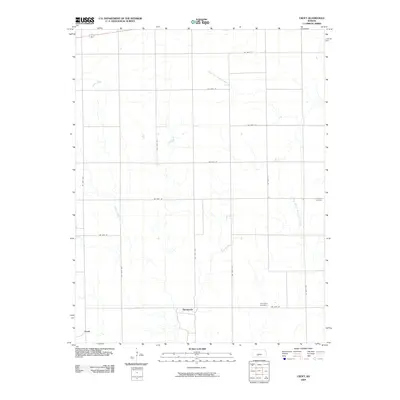
2009 Map of Croft
USGS Topo · Published 2009About this map
Springvale and the small settlement of Croft anchor this rural landscape in Pratt County, where the plains are defined by the winding course of the South Fork Ninnescah River. The geography is shaped by a grid of local roads, such as SW 90th St and SW 140th Ave, which delineate agricultural sections in this part of south-central Kansas. Genealogy researchers will find several localized landmarks for tracing family histories, including East Slope Cemetery near the southern boundary and Jenkins Cemetery to the east. The drainage pattern is marked by tributaries like Turkey Creek and the West Branch South Elm Creek, which provided essential water sources for the area's early homesteaders and farmers. This survey captures the quiet persistence of these small communities and their relationship to the river valley before the mid-21st century.
Find a feature on this map
21 named features on this map. Tap any name to fly to it.
Don’t see what you’re looking for? This feature index may not catch every label — zoom into the map to look around manually.
Map Details
Editions of this 2009 Croft Map
This is the sole edition of this map. No revisions or reprints were ever made.
Other maps of this area
1889 · Kinsley
USGS Topo · 1:125,000
1891 · Medicine Lodge
USGS Topo · 1:125,000
1892 · Kinsley
USGS Topo · 1:125,000
1892 · Coldwater
USGS Topo · 1:125,000
1892 · Pratt
USGS Topo · 1:125,000
1893 · Medicine Lodge
USGS Topo · 1:125,000
1894 · Kinsley
USGS Topo · 1:125,000
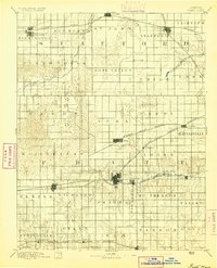
1894 · Pratt
USGS Topo · 1:125,000
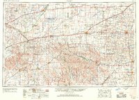
1955 · Pratt
USGS Topo · 1:250,000
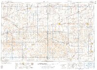
1959 · Pratt
USGS Topo · 1:250,000