2000s (21st Century) Maps of Saline County, Kansas
Explore 120 historic maps of Saline County from the 2000s (21st Century). These maps offer a rare glimpse into what life looked like during the 2000s — showing old roads, neighborhoods, homes, and landmarks that have changed or disappeared over time.
Whether you're researching your family's past, planning a metal detecting trip, or studying how Saline County's landscape evolved across the 2000s, these high-resolution maps are a powerful tool for exploring the history of this region.
- Focus on a specific era: All maps on this page are from the 2000s, giving you a focused view of this time period.
- See what’s changed: Compare century-old streets, trails, and buildings to today's modern landscape using overlays and satellite layers.
- Research with precision: Use these maps for genealogy, historical research, land use analysis, or educational projects.
- View, download, or print: Maps are fully viewable online in high resolution, and can be downloaded or printed for your own records.
Start exploring Saline County's history through authentic maps from the 2000s. This is your window into the past.
Saline County, KS maps
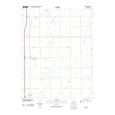
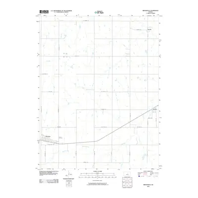
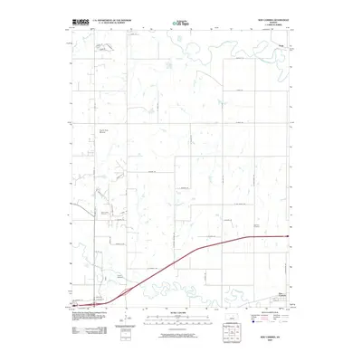
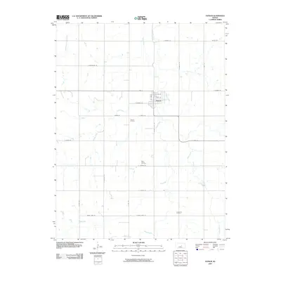
(120)- 2009 Map of Carlton, 2009 Print
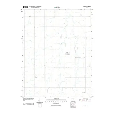 2009 Carlton2009 Print · USGSCovers Saline County, including Carlton, Dickinson County, and other nearby areas
 - 2009 Map of Gypsum SE, 2009 Print
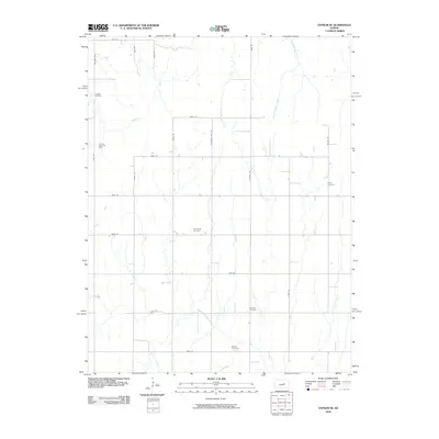 2009 Gypsum SE2009 Print · USGSCovers Saline County, including Dickinson County, Marion County, and other nearby areas
 - 2009 Map of Falun, 2009 Print
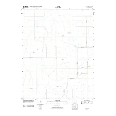 2009 Falun2009 Print · USGSCovers Saline County, including Falun, United States, and other nearby areas
 - 2009 Map of Lindsborg SE, 2009 Print
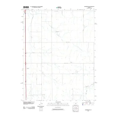 2009 Lindsborg SE2009 Print · USGSCovers Saline County, including McPherson County, United States, and other nearby areas
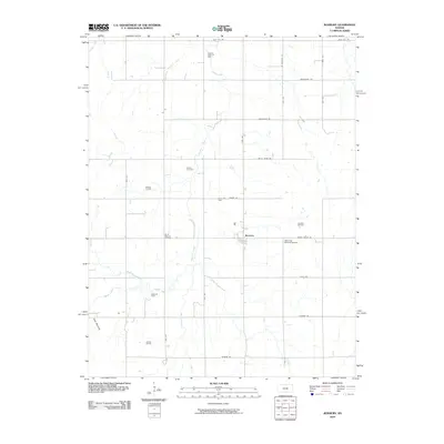
 - 2009 Map of Assaria, 2009 Print
 2009 Assaria2009 Print · USGSCovers Saline County, including Assaria, Hallville, and other nearby areas
 - 2009 Map of Smolan, 2009 Print
 2009 Smolan2009 Print · USGSCovers Saline County, including Smolan, Salemsborg, and other nearby areas
 - 2009 Map of Venango, 2009 Print
 2009 Venango2009 Print · USGSCovers Saline County, including Terra Cotta, Venango, and other nearby areas
 - 2009 Map of Marquette, 2009 Print
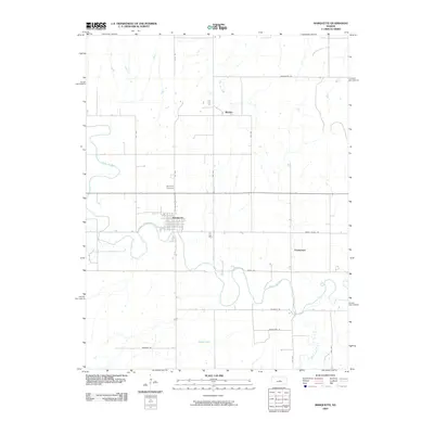 2009 Marquette2009 Print · USGSCovers Saline County, including Marquette, Freemount, and other nearby areas
 - 2009 Map of Brookville, 2009 Print
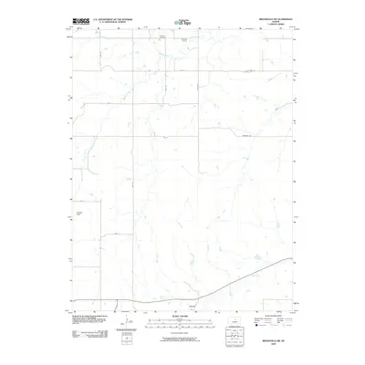
 2009 Brookville2009 Print · USGSCovers Saline County, including Brookville, Bavaria, and other nearby areas
 - 2009 Map of Culver, 2009 Print
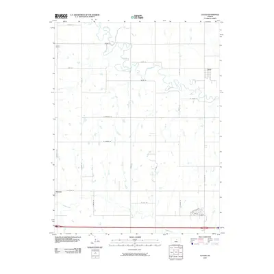 2009 Culver2009 Print · USGSCovers Saline County, including Culver, Ottawa County, and other nearby areas
 - 2009 Map of Juniata, 2009 Print
 2009 Juniata2009 Print · USGSCovers Saline County, including Glendale, Juniata, and other nearby areas
 - 2009 Map of Salina, 2009 Print
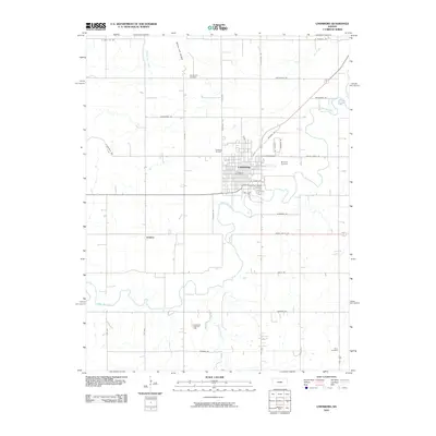
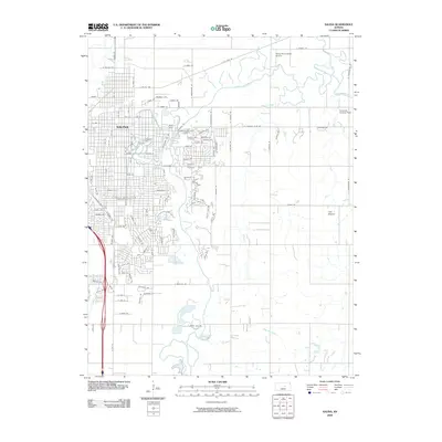 2009 Salina2009 Print · USGSCovers Saline County, including Salina, United States, and other nearby areas
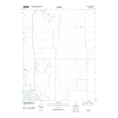
 - 2009 Map of New Cambria, 2009 Print
 2009 New Cambria2009 Print · USGSCovers Saline County, including Salina, New Cambria, and other nearby areas
 - 2009 Map of Niles, 2009 Print
 2009 Niles2009 Print · USGSCovers Saline County, including Niles, Solomon, and other nearby areas
 - 2009 Map of Brookville SW, 2009 Print
 2009 Brookville SW2009 Print · USGSCovers Saline County, including Arcola, Lincoln County, and other nearby areas
 - 2009 Map of Trenton, 2009 Print
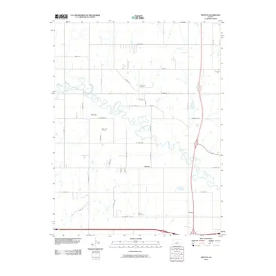 2009 Trenton2009 Print · USGSCovers Saline County, including Marydel, Shipton, and other nearby areas
 - 2009 Map of Holland, 2009 Print
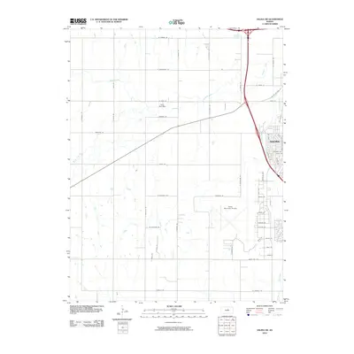
 2009 Holland2009 Print · USGSCovers Saline County, including Holland, Acme, and other nearby areas
 - 2009 Map of Kipp, 2009 Print
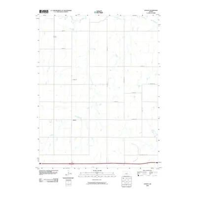
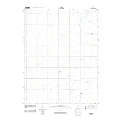
 2009 Kipp2009 Print · USGSCovers Saline County, including Kipp, United States, and other nearby areas
 - 2009 Map of Solomon, 2009 Print
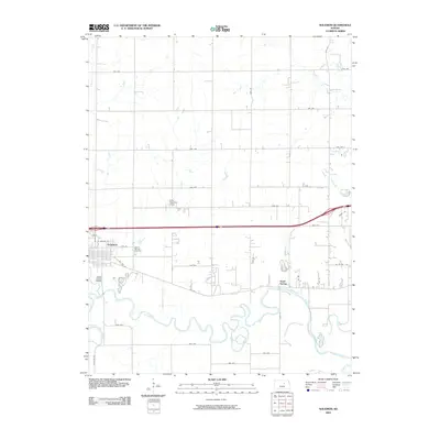 2009 Solomon2009 Print · USGSCovers Saline County, including Abilene, Solomon, and other nearby areas
 - 2009 Map of Langley, 2009 Print
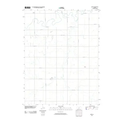
 2009 Langley2009 Print · USGSCovers Saline County, including Langley, Rice County, and other nearby areas
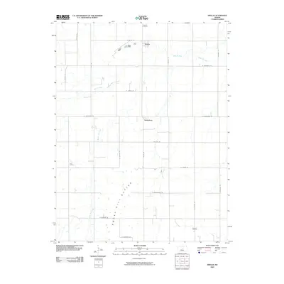
 - 2009 Map of Gypsum, 2009 Print
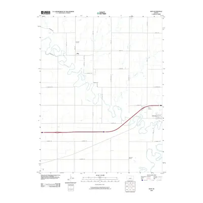
 2009 Gypsum2009 Print · USGSCovers Saline County, including Gypsum, United States, and other nearby areas
 - 2010 Map of Lindsborg, 2010 Print
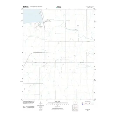
 2010 Lindsborg2010 Print · USGSCovers Saline County, including Lindsborg, Jenkins, and other nearby areas
 - 2010 Map of Salina SW, 2010 Print
 2010 Salina SW2010 Print · USGSCovers Saline County, including Salina, United States, and other nearby areas
 - 2010 Map of Roxbury, 2010 Print
 2010 Roxbury2010 Print · USGSCovers Saline County, including Roxbury, McPherson County, and other nearby areas
 - 2012 Map of Roxbury, 2012 Print
 2012 Roxbury2012 Print · USGSCovers Saline County, including Roxbury, McPherson County, and other nearby areas
Showing maps 1-25 of 120
Top cities of Saline County
- Salina historical maps
- Assaria historical maps
- Gypsum historical maps
- Falun historical maps
- Brookville historical maps
- Smolan historical maps
See more
Frequently asked questions
- What are the different types of historical maps available for Saline County?
- What is the oldest map of Saline County?
- Where can I purchase historical maps of Saline County for my home or office?
- Where can I download high-res historical maps of Saline County?
- Are there historical topographic maps available for Saline County?
- Is there historical aerial imagery available for Saline County?
- Where are historical maps of Saline County sourced from?