Old Maps of Pence, Kansas for Hiking & Exploration
Hike through history with 11 historic maps of Pence. Explore old trails, ghost towns, and forgotten backroads — perfect for outdoor adventurers and local explorers.
- Rediscover forgotten places: Map out old mining camps, roads, and footpaths that no longer exist on modern maps.
- Layer with modern tools: Combine with LiDAR or satellite views to plan hikes through historical terrain.
- Made for exploration: Popular among hikers, overlanders, and local history lovers.
Use these maps to find adventure and explore the hidden past of Pence.
Pence, KS maps
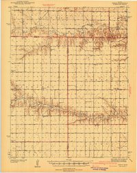
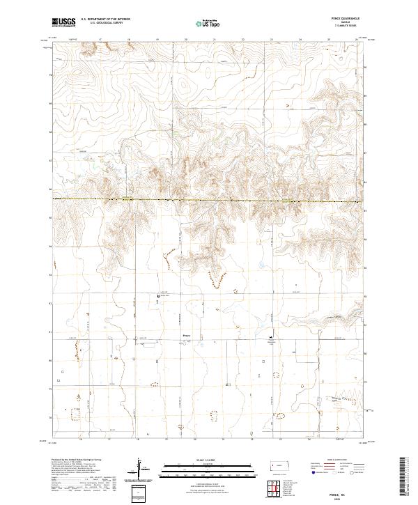
(11)- 1939 Map of Pence, 1971 Print
 1939 Pence1971 Print · USGSWestern Kansas farm life is meticulously documented in this late 1930s survey of the Logan, Wichita, and Scott county lines. Researchers can trace the locations of numerous rural schoolhouses like Liberty Sch and Prairie View Sch, along with the Pence Cem.2 unique versions available
 - 1941 Map of Pence
 1941 Pence1941 Print · USGSWestern Kansas high plains life is preserved here during the late Depression era, showing the intersection of Logan, Wichita, and Scott counties. Genealogists can trace early 20th-century rural life through landmarks like Pence Cem and a network of schools including Lone Corner Sch and High Prairie Sch.2 unique versions available
 - 1955 Map of Scott City, 1969 Print
 1955 Scott City1969 Print · USGSWestern Kansas in the mid-fifties is captured here as a landscape of rural schoolhouses and significant rail corridors. Family historians can trace the locations of Skyline and Beaver Creek Schools or follow the Union Pacific line through Oakley and Sharon Springs.4 unique versions available
 - 1958 Map of Scott City
 1958 Scott City1958 Print · USGSWestern Kansas at the peak of the post-war era reveals a landscape of high-plains agriculture and vital rail junctions. Genealogists and historians can trace old country school sites like Prairie Bell School, the landmark Chalk Pyramids, and small stops along the Union Pacific and Missouri Pacific.
 - 1976 Map of Pence, 1978 Print
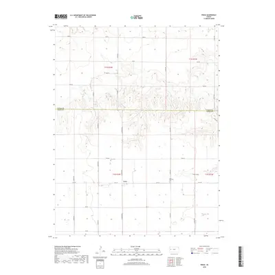
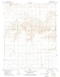 1976 Pence1978 Print · USGSScott County and Logan County were largely defined by rural townships and agricultural industry in the mid-1970s. Genealogists can locate family landmarks like Pence Cem and Scott Ch near the historic settlement of Pence.
 - 1985 Map of Sharon Springs
 1985 Sharon Springs1985 Print · USGSWestern Kansas at the mid-eighties reveals a landscape shaped by the Union Pacific and the historic Butterfield Overland Trail. Researchers can trace the frontier legacy of the Fort Wallace (site) and explore rural landmarks from Weskan to Russell Springs.2 unique versions available
 - 2009 Map of Pence, 2009 Print
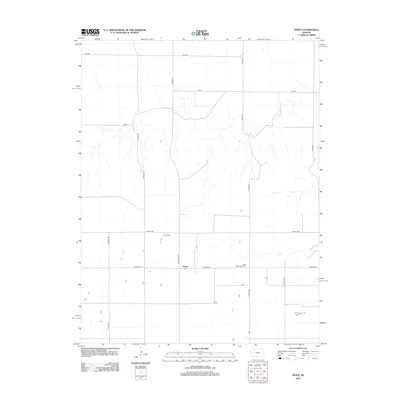
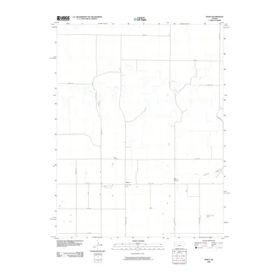 2009 Pence2009 Print · USGSCovers Pence, including Logan County, Scott County, and other nearby areas
 - 2012 Map of Pence, 2012 Print
 2012 Pence2012 Print · USGSCovers Pence, including Logan County, Scott County, and other nearby areas
 - 2015 Map of Pence, 2015 Print
 2015 Pence2015 Print · USGSCovers Pence, including Logan County, Scott County, and other nearby areas
 - 2018 Map of Pence, 2018 Print
 2018 Pence2018 Print · USGSCovers Pence, including Logan County, Scott County, and other nearby areas
 - 2022 Map of Pence, 2022 Print
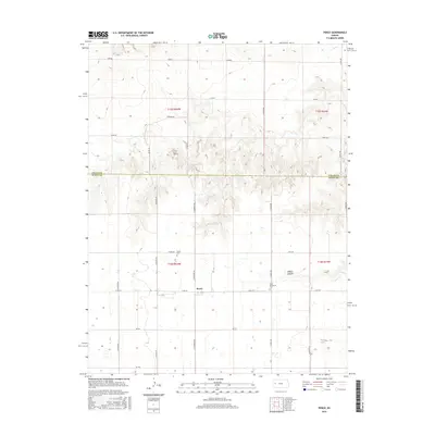
 2022 Pence2022 Print · USGSWestern Kansas high plains and canyon breaks are captured here during the early 2020s. Genealogists can locate family sites near the Pence Cem and Scott Mennonite Cem, or trace the rugged geography of Timber Canyon.
End of results
Showing maps 1-11 of 11
Top cities near Pence
Frequently asked questions
- What are the different types of historical maps available for Pence?
- What is the oldest map of Pence?
- Where can I purchase historical maps of Pence for my home or office?
- Where can I download high-res historical maps of Pence?
- Are there historical topographic maps available for Pence?
- Is there historical aerial imagery available for Pence?
- Where are historical maps of Pence sourced from?