Old Maps of Andale, Kansas for Hiking & Exploration
Hike through history with 19 historic maps of Andale. Explore old trails, ghost towns, and forgotten backroads — perfect for outdoor adventurers and local explorers.
- Rediscover forgotten places: Map out old mining camps, roads, and footpaths that no longer exist on modern maps.
- Layer with modern tools: Combine with LiDAR or satellite views to plan hikes through historical terrain.
- Made for exploration: Popular among hikers, overlanders, and local history lovers.
Use these maps to find adventure and explore the hidden past of Andale.
Andale, KS maps
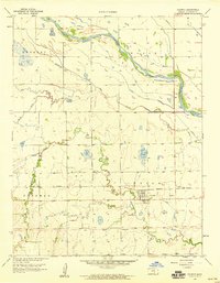
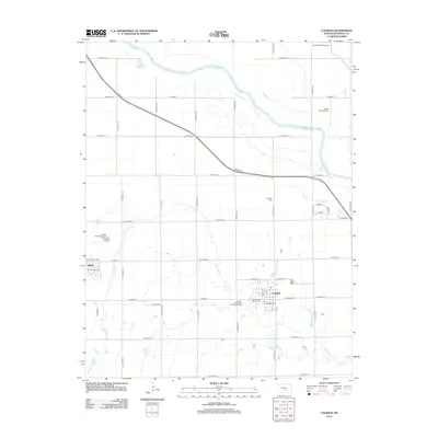
(19)- 1889 Map of Cheney
 1889 Cheney1889 Print · USGSSouthern Kansas in the late nineteenth century was a landscape of emerging rail towns and river crossings. Genealogists and historians can trace early post offices like Waterloo P.O. and Ost P.O. alongside established hubs like Cheney and Mt. Hope.2 unique versions available
 - 1891 Map of Cheney
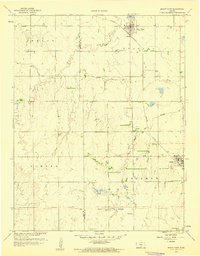
 1891 Cheney1891 Print · USGSKansas prairie life in the 1890s centered on the arrival of the rails and the flow of the rivers. Genealogists and historians can trace early post offices like Stella P.O. and Mona P.O. or follow the path of the Wichita and Western Railroad through Cheney.2 unique versions available
 - 1901 Map of Cheney, 1910 Print
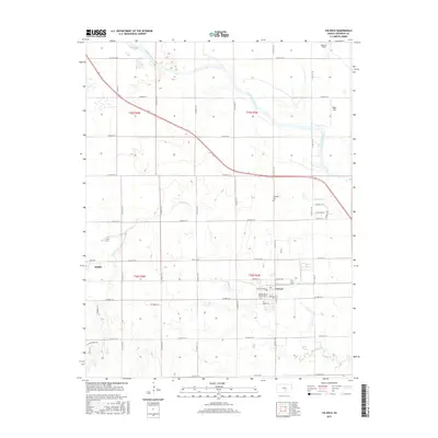
 1901 Cheney1910 Print · USGSSouth Central Kansas was a landscape of budding rail towns and rural post offices at the turn of the century. Genealogists can trace family roots through now-vanished locales like Stella P.O. and Mona P.O. or early hubs like Cheney and Mt. Hope.2 unique versions available
 - 1955 Map of Wichita, 1959 Print
 1955 Wichita1959 Print · USGSSouth-central Kansas comes alive in the mid-1950s as Wichita grows into its role as a regional industrial and military powerhouse. Trace the rail-and-river network connecting El Dorado and Arkansas City through the Atchison Topeka and Santa Fe lines.3 unique versions available
 - 1958 Map of Wichita
 1958 Wichita1958 Print · USGSSouth Central Kansas in the late fifties was a landscape of aviation industry, oil exploration, and expanding turnpikes. Researchers can trace mid-century growth through McConnell Air Force Base, major facilities for Cessna Aircraft Company, and the active El Dorado Oil Field.
 - 1958 Map of Colwich, 1959 Print
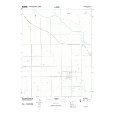
 1958 Colwich1959 Print · USGSThe town of Colwich is captured in the late fifties as a vital rail point along the Missouri Pacific line. Genealogists and researchers can trace the Old Indian Boundary and the complex river system of the Arkansas River and Big Slough.2 unique versions available
 - 1959 Map of Mount Hope, 1960 Print
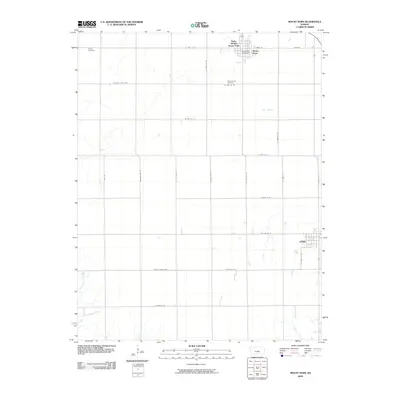
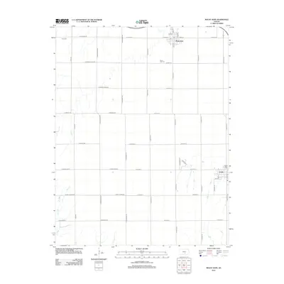
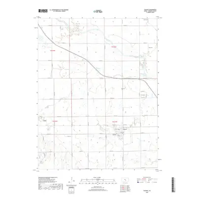
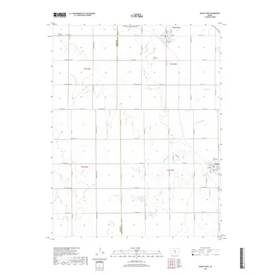
 1959 Mount Hope1960 Print · USGSThe Kansas prairie south of the Arkansas River is captured here in the late fifties, showing the rural grid just as modern industrial features began to appear. Researchers can trace the Old Indian Boundary, locate early Oil Wells, and explore the rail-side layouts of Mount Hope and Andale.2 unique versions available
 - 1985 Map of Wichita
 1985 Wichita1985 Print · USGSThe mid-1980s landscape of the Wichita metro area is captured here during a peak era for the local aviation industry. Researchers can trace the sprawling rail network of the Santa Fe and Frisco or locate family landmarks at White Chapel Cem and Cheney Reservoir.
 - 1990 Map of Wichita
 1990 Wichita1990 Print · USGSThe Wichita metropolitan area and its surrounding agricultural plains are captured in the late twentieth century, showing a landscape defined by rapid suburban expansion and massive water projects. Genealogists can locate family landmarks in small towns like Garden Plain and Clonmel, or trace the development around Cheney Reservoir and McConnell Air Force Base.
 - 2009 Map of Mount Hope, 2009 Print
 2009 Mount Hope2009 Print · USGSCovers Andale, including Mount Hope, Sedgwick County, and other nearby areas
 - 2009 Map of Colwich, 2009 Print
 2009 Colwich2009 Print · USGSCovers Andale, including Colwich, Sedgwick County, and other nearby areas
 - 2012 Map of Colwich, 2012 Print
 2012 Colwich2012 Print · USGSCovers Andale, including Colwich, Sedgwick County, and other nearby areas
 - 2012 Map of Mount Hope, 2012 Print
 2012 Mount Hope2012 Print · USGSCovers Andale, including Mount Hope, Sedgwick County, and other nearby areas
 - 2015 Map of Colwich, 2015 Print
 2015 Colwich2015 Print · USGSCovers Andale, including Colwich, Sedgwick County, and other nearby areas
 - 2015 Map of Mount Hope, 2015 Print
 2015 Mount Hope2015 Print · USGSCovers Andale, including Mount Hope, Sedgwick County, and other nearby areas
 - 2018 Map of Colwich, 2018 Print
 2018 Colwich2018 Print · USGSCovers Andale, including Colwich, Sedgwick County, and other nearby areas
 - 2018 Map of Mount Hope, 2018 Print
 2018 Mount Hope2018 Print · USGSCovers Andale, including Mount Hope, Sedgwick County, and other nearby areas
 - 2022 Map of Mount Hope, 2022 Print
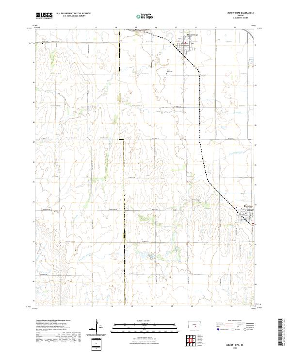 2022 Mount Hope2022 Print · USGSThe rural landscapes of Reno and Sedgwick Counties are captured here in the early twenty-first century, showing the enduring grid of agricultural life. Genealogists can trace family landmarks at Mount Hope Cem, Saint Joseph Cem, and Haven Priest Cem.
 - 2022 Map of Colwich, 2022 Print
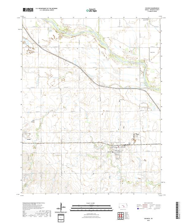 2022 Colwich2022 Print · USGSThe Kansas prairie near Colwich and Andale is captured in the early 2020s, showing a landscape defined by the Arkansas River and its tributaries. Researchers can trace land divisions and local landmarks like Sacred Heart Catholic Cem or the rural Eldridge Cem.
End of results
Showing maps 1-19 of 19
Top cities near Andale
- Wichita historical maps
- Hutchinson historical maps
- Newton historical maps
- Valley Center historical maps
- Goddard historical maps
- Maize historical maps
See more
Frequently asked questions
- What are the different types of historical maps available for Andale?
- What is the oldest map of Andale?
- Where can I purchase historical maps of Andale for my home or office?
- Where can I download high-res historical maps of Andale?
- Are there historical topographic maps available for Andale?
- Is there historical aerial imagery available for Andale?
- Where are historical maps of Andale sourced from?