Old Maps of Kanorado, Kansas for Metal Detecting
Plan your next treasure hunt with 10 historic maps of Kanorado. Find old homesites, ghost towns, trails, and gathering spots that may be lost to time — perfect for identifying promising metal detecting locations.
- Locate forgotten sites: Uncover places like long-lost settlements, abandoned rail lines, or gathering spots.
- Plan better hunts: Use map overlays combined with LiDAR or satellite views to narrow in on historically rich areas.
- Made for detectorists: Thousands of hobbyists use these maps to discover relics, coins, and hidden history.
Use these historic maps to boost your research and find new opportunities beneath the surface of Kanorado.
Kanorado, KS maps
(10)- 1954 Map of Limon
 1954 Limon1954 Print · USGSThe Eastern Colorado plains and the Kansas borderlands come alive in the mid-fifties, showing the vital rail-and-road corridor through Limon. Genealogists and historians can trace the Chicago Rock Island & Pacific line through Burlington and find remote outposts like Arickaree and Anton.4 unique versions available
 - 1957 Map of Limon
 1957 Limon1957 Print · USGSThe High Plains of Eastern Colorado and Western Kansas come alive in the mid-1950s, showing the vital rail-and-road connections of the era. You can trace the path of the Chicago Rock Island and Pacific through towns like Limon, Stratton, and Burlington or find the early footprint of Bonny Reservoir.
 - 1958 Map of Limon
 1958 Limon1958 Print · USGSEastern Colorado and the Kansas border meet in this late-fifties study of High Plains rail and river systems. Researchers can trace the path of the Chicago Rock Island and Pacific through Limon and Burlington, or locate the Bonny Dam and Bonny Reservoir.
 - 1969 Map of Kanorado, 1972 Print
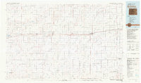
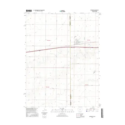
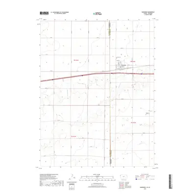
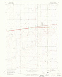 1969 Kanorado1972 Print · USGSThe High Plains border town of Kanorado is captured in the late sixties as it straddled the State Line between Kansas and Colorado. Genealogists and researchers can trace the path of the Chicago Rock Island and Pacific railroad and find local markers like Grain Bins and early Gravel Pits.3 unique versions available
 - 1981 Map of Burlington
 1981 Burlington1981 Print · USGSEastern Colorado and the Kansas borderland come into focus during the early 1980s, centered on the rail corridor and farming hubs. Researchers can trace the Chicago Rock Island and Pacific route through Burlington, Stratton, and Vona, or locate Mount Sunflower near the state line.
 - 2010 Map of Kanorado, 2010 Print
 2010 Kanorado2010 Print · USGSCovers Kanorado, including Sherman County, Kit Carson County, and other nearby areas
 - 2012 Map of Kanorado, 2012 Print
 2012 Kanorado2012 Print · USGSCovers Kanorado, including Sherman County, Kit Carson County, and other nearby areas
 - 2015 Map of Kanorado, 2015 Print
 2015 Kanorado2015 Print · USGSCovers Kanorado, including Sherman County, Kit Carson County, and other nearby areas
 - 2018 Map of Kanorado, 2018 Print
 2018 Kanorado2018 Print · USGSCovers Kanorado, including Sherman County, Kit Carson County, and other nearby areas
 - 2022 Map of Kanorado, 2022 Print
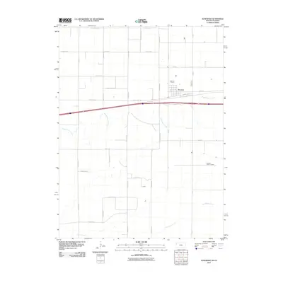
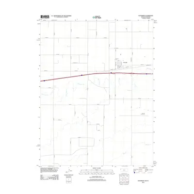
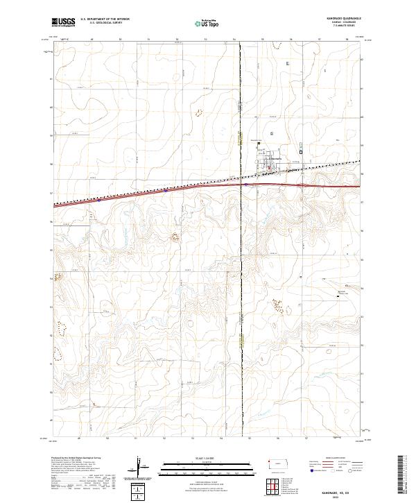 2022 Kanorado2022 Print · USGSThe border town of Kanorado is captured at the Kansas-Colorado line during its modern era of transit and agriculture. Genealogists and researchers can locate Kanorado Cem, the Kanorado Catholic Cem, and the historic route of Old Us Hwy 24.
End of results
Showing maps 1-10 of 10
Top cities near Kanorado
Frequently asked questions
- What are the different types of historical maps available for Kanorado?
- What is the oldest map of Kanorado?
- Where can I purchase historical maps of Kanorado for my home or office?
- Where can I download high-res historical maps of Kanorado?
- Are there historical topographic maps available for Kanorado?
- Is there historical aerial imagery available for Kanorado?
- Where are historical maps of Kanorado sourced from?