Old Maps of Reamsville, Kansas for Genealogy
Trace your family roots with 10 historic maps of Reamsville. These high-res maps reveal old neighborhoods, homesites, landmarks, and streets — helping you uncover where your ancestors lived and how the area evolved over time.
- Explore historic neighborhoods: Identify where your relatives may have lived in the 1800s or 1900s.
- Compare maps over time: Trace the changes in streets, buildings, and landmarks for multi-generational research.
- Perfect for genealogy & ancestry research: Used by family historians and researchers to map out lineage and migration.
These maps are an incredible resource for exploring your personal connection to Reamsville's past.
Reamsville, KS maps
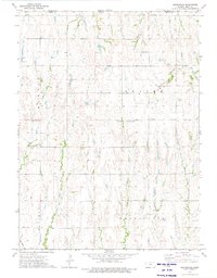
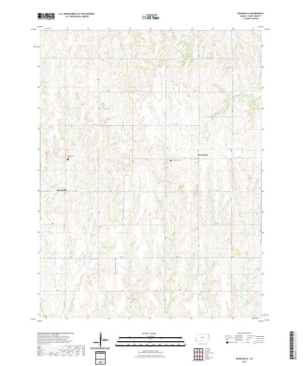
(10)- 1893 Map of Smith Center
 1893 Smith Center1893 Print · USGSNorth-central Kansas emerges in the early 1890s as a landscape of grid-patterned townships and growing rail towns. Researchers can trace the early footprints of Smith Center and Lebanon or locate vanished points like Jacksonburg and Womer.3 unique versions available
 - 1955 Map of Beloit, 1971 Print
 1955 Beloit1971 Print · USGSNorth Central Kansas in the mid-fifties shows a landscape of river-valley agriculture and expanding water infrastructure. Genealogists can trace the rail lines of the Union Pacific through towns like Nicodemus, Cawker City, and the State Sanatorium.3 unique versions available
 - 1959 Map of Beloit
 1959 Beloit1959 Print · USGSNorth Central Kansas at mid-century reveals a landscape shaped by river valleys and the expansion of massive water reservoirs. Genealogists and historians can trace the rail-town connections of Beloit and Norton or locate the site of the new Webster Dam.3 unique versions available
 - 1973 Map of Reamsville, 1975 Print
 1973 Reamsville1975 Print · USGSSmith County, Kansas, is shown here in the 1970s just south of the Nebraska state line. Genealogists and local historians can trace the rural communities of Reamsville and Thornburg, or locate burial sites at Pleasant Hill Cem and Eminence Cem.
 - 1985 Map of Smith Center
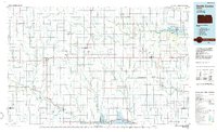 1985 Smith Center1985 Print · USGSNorth Central Kansas in the mid-eighties shows a landscape of small agricultural hubs like Smith Center and Mankato linked by the Missouri Pacific line. Researchers can locate the Geographic Center of 48 States and trace family roots near Fairview Cem or along Waconda Lake.2 unique versions available
 - 2009 Map of Reamsville, 2009 Print
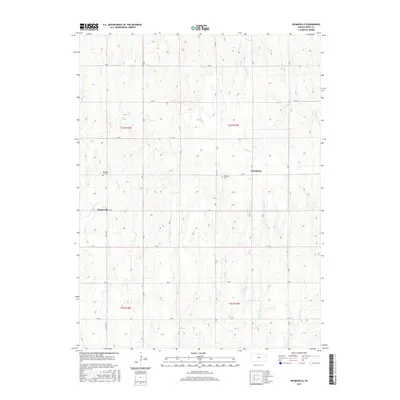
 2009 Reamsville2009 Print · USGSCovers Reamsville, including Thornburg, Smith County, and other nearby areas
 - 2012 Map of Reamsville, 2012 Print
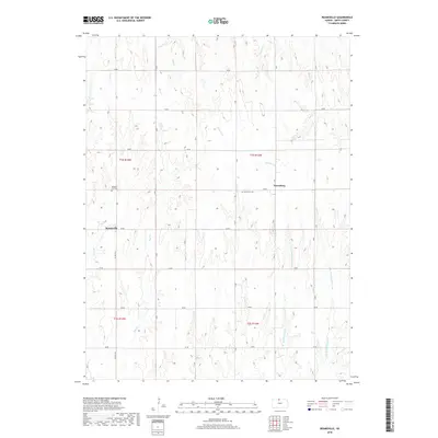
 2012 Reamsville2012 Print · USGSCovers Reamsville, including Thornburg, Smith County, and other nearby areas
 - 2015 Map of Reamsville, 2015 Print
 2015 Reamsville2015 Print · USGSCovers Reamsville, including Thornburg, Smith County, and other nearby areas
 - 2018 Map of Reamsville, 2018 Print
 2018 Reamsville2018 Print · USGSCovers Reamsville, including Thornburg, Smith County, and other nearby areas
 - 2022 Map of Reamsville, 2022 Print
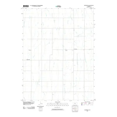
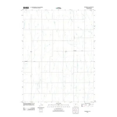
 2022 Reamsville2022 Print · USGSIn the northern Kansas plains near the Nebraska border, this 2020s survey captures a landscape of enduring rural settlements and creek-carved topography. Genealogists can locate Reamsville Cem and Eminence Cem or trace the drainage of Iowa Cr and Bull Cr.
End of results
Showing maps 1-10 of 10
Top cities near Reamsville
- Smith Center historical maps
- Franklin historical maps
- Kensington historical maps
- Bloomington historical maps
- Riverton historical maps
- Athol historical maps
See more
Frequently asked questions
- What are the different types of historical maps available for Reamsville?
- What is the oldest map of Reamsville?
- Where can I purchase historical maps of Reamsville for my home or office?
- Where can I download high-res historical maps of Reamsville?
- Are there historical topographic maps available for Reamsville?
- Is there historical aerial imagery available for Reamsville?
- Where are historical maps of Reamsville sourced from?