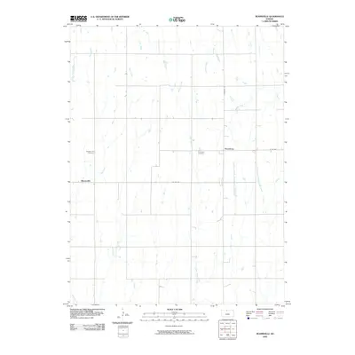
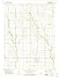
2009 Map of Reamsville
USGS Topo · Published 2009About this map
Reamsville and Thornburg anchor this rural landscape in Smith County, Kansas, where the upland prairie is dissected by an intricate network of north-flowing tributaries. The drainage patterns of Iowa Creek, Bull Creek, and Walnut Creek define the local topography, carving shallow valleys through the agricultural grid. This survey provides specific data for genealogical research, locating the Pleasant Hill Cemetery northwest of Reamsville and the Eminence Cemetery near the banks of East Beaver Creek. The layout of local routes like Thornburg Rd and Co Rd 629 reflects a classic midwestern section-line road system. To the east, the headwaters of the West Branch Troublesome Creek and East Branch Troublesome Creek demonstrate the fine-grained water systems that historically dictated farmstead placement and rural land use in this part of the Great Plains.
Find a feature on this map
17 named features on this map. Tap any name to fly to it.
Don’t see what you’re looking for? This feature index may not catch every label — zoom into the map to look around manually.
Map Details
Editions of this 2009 Reamsville Map
This is the sole edition of this map. No revisions or reprints were ever made.
Other maps of this area
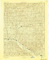
1893 · Smith Center
USGS Topo · 1:125,000
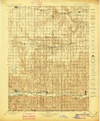
1897 · Red Cloud
USGS Topo · 1:125,000
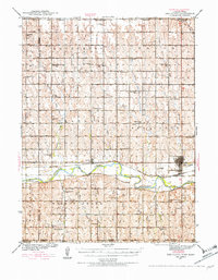
1940 · Red Cloud
USGS Topo · 1:62,500
1942 · Red Cloud
USGS Topo · 1:62,500
1955 · Grand Island
USGS Topo · 1:250,000

1955 · Beloit
USGS Topo · 1:250,000
1957 · Grand Island
USGS Topo · 1:250,000
1958 · Grand Island
USGS Topo · 1:250,000

1959 · Beloit
USGS Topo · 1:250,000
1973 · Athol
USGS Topo · 1:24,000