Old Maps of Cave, Kansas for Academic Research
Study the evolution of Cave with 12 high-resolution historic maps. Whether you're teaching, researching, or modeling changes in land use, these maps provide essential visual documentation of urban, environmental, and geographic change.
- Analyze long-term change: Track patterns in development, transportation, and natural features.
- Ideal for environmental or urban studies: Support academic projects with primary historical map data.
- Use in the classroom or lab: Educators and researchers rely on these maps to bring historical context to life.
These maps are a powerful tool for teaching, research, and visualizing how Cave has changed over the decades.
Cave, KS maps
(12)- 1944 Map of Moscow
 1944 Moscow1944 Print · USGSThe high plains of southwest Kansas are documented here in the mid-1940s, showing a landscape defined by the Cimarron River and the rail line. Researchers can trace the network of local schoolhouses like Riverview Sch and Golden Plains Sch that once anchored these rural townships.
 - 1945 Map of Moscow
 1945 Moscow1945 Print · USGSStevens County in the early 1940s is captured here as a landscape of rural schoolhouses and high plains rail traffic. Genealogists can locate family-named sites like Vanceville Sch and Ethelton Sch or trace the Atchison Topeka and Santa Fe through Moscow.
 - 1955 Map of Dodge City, 1968 Print
 1955 Dodge City1968 Print · USGSSouthwest Kansas in the mid-fifties reveals an expansive landscape of cattle towns, early gas fields, and prairie outposts. Researchers can trace rural school districts like Moundview and Good Luck or locate the Kansas State Game Farm near Lakin.3 unique versions available
 - 1958 Map of Dodge City
 1958 Dodge City1958 Print · USGSSouthwest Kansas in the late fifties shows a landscape of river-valley agriculture and burgeoning energy infrastructure. Genealogists can trace rural life through numerous landmarks like Fairview Cemetery, the Goodwell School, and Concord Church.
 - 1959 Map of Dodge City
 1959 Dodge City1959 Print · USGSSouthwest Kansas in the mid-fifties is captured at its agricultural height, centered on the vital rail and river hubs of Dodge City and Garden City. Genealogists and local historians can trace rural school districts like Shockey School and Hickok School or locate the Fairview Cemetery.
 - 1974 Map of Moscow, 1976 Print
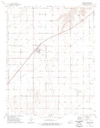 1974 Moscow1976 Print · USGSThe High Plains of Stevens County are captured here in the mid-seventies, showing a landscape shaped by energy production and the rail line. Researchers can locate Moscow and the nearby Moscow Cem, or trace the industrial footprint of numerous Gas Wells and the Atchison Topeka and Santa Fe railroad.
 - 1983 Map of Hugoton, 1984 Print
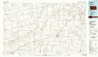 1983 Hugoton1984 Print · USGSSouthwestern Kansas during the early 1980s reveals a landscape shaped by the energy industry and deep western history. Researchers can trace the Old Santa Fe Trail and explore the Gas Field surrounding Hugoton and Rolla.
 - 2010 Map of Moscow, 2010 Print
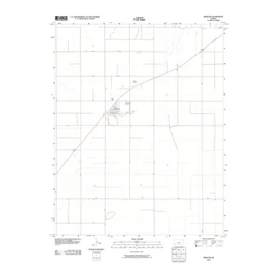 2010 Moscow2010 Print · USGSThe rural plains of Stevens County are captured here in 2010, centered on the grid-patterned settlement of Moscow. Genealogists and local historians can trace the town's perimeter, the Moscow Cemetery, and landmarks like Brollier Airport and the settlement of Cave.
 - 2012 Map of Moscow, 2012 Print
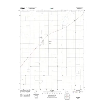 2012 Moscow2012 Print · USGSIn the open plains of Stevens County during the early 2010s, this landscape is defined by its vast agricultural grid and small rural outposts. Genealogists and local historians can locate Moscow Cem, the settlement at Cave, and the private runways of Brollier Airport.
 - 2016 Map of Moscow, 2016 Print
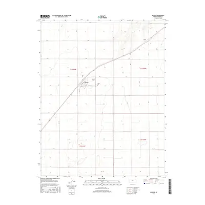 2016 Moscow2016 Print · USGSThe High Plains town of Moscow is captured here in the mid-2010s, showing a structured agricultural and residential grid. Local historians can trace family locations near Moscow Cem, the municipal streets, and the nearby Brollier Airport.
 - 2018 Map of Moscow, 2018 Print
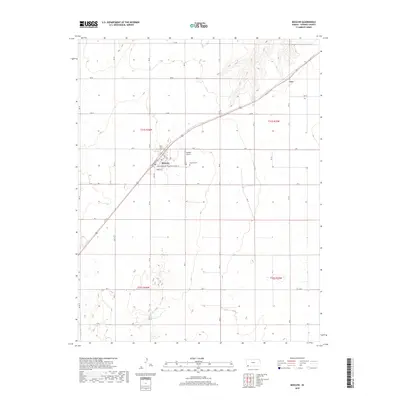 2018 Moscow2018 Print · USGSThe small town of Moscow is captured here in its modern agricultural context during the late twenty-tens. Researchers can trace local landmarks like the Moscow Cem and Brollier Airport, or locate specific properties along Mays Rd and Cimarron Ave.
 - 2022 Map of Moscow, 2022 Print
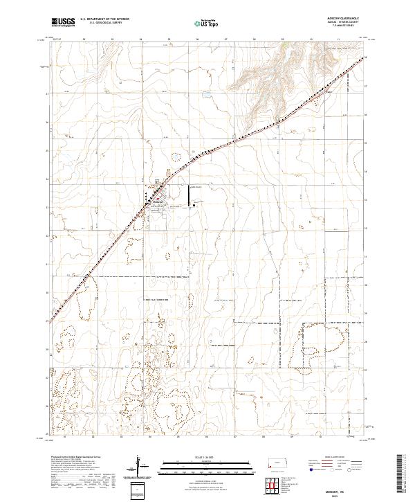 2022 Moscow2022 Print · USGSMoscow and the surrounding Stevens County plains are captured here in the early twenty-first century as a landscape of grid-aligned farms and rural outposts. Researchers can trace the town’s residential streets or locate outlying sites like Moscow Cem and the small settlement of Cave.
End of results
Showing maps 1-12 of 12
Top cities near Cave
Frequently asked questions
- What are the different types of historical maps available for Cave?
- What is the oldest map of Cave?
- Where can I purchase historical maps of Cave for my home or office?
- Where can I download high-res historical maps of Cave?
- Are there historical topographic maps available for Cave?
- Is there historical aerial imagery available for Cave?
- Where are historical maps of Cave sourced from?