Old Maps of Hunnewell, Kansas for Hiking & Exploration
Hike through history with 19 historic maps of Hunnewell. Explore old trails, ghost towns, and forgotten backroads — perfect for outdoor adventurers and local explorers.
- Rediscover forgotten places: Map out old mining camps, roads, and footpaths that no longer exist on modern maps.
- Layer with modern tools: Combine with LiDAR or satellite views to plan hikes through historical terrain.
- Made for exploration: Popular among hikers, overlanders, and local history lovers.
Use these maps to find adventure and explore the hidden past of Hunnewell.
Hunnewell, KS maps
(19)- 1890 Map of Wellington
 1890 Wellington1890 Print · USGSSumner and Cowley counties are captured here in the late nineteenth century as a dense network of railroads and river towns transformed the Kansas prairie. Genealogists and historians can trace the early layouts of Wellington, Oxford, and Geuda Springs before the turn of the century.6 unique versions available
 - 1955 Map of Wichita, 1959 Print
 1955 Wichita1959 Print · USGSSouth-central Kansas comes alive in the mid-1950s as Wichita grows into its role as a regional industrial and military powerhouse. Trace the rail-and-river network connecting El Dorado and Arkansas City through the Atchison Topeka and Santa Fe lines.3 unique versions available
 - 1955 Map of Enid, 1966 Print
 1955 Enid1966 Print · USGSNorth-central Oklahoma's transition from open plains to the blackjack hills of the Osage Indian Reservation is captured in the mid-1950s. Researchers can trace the development of the Naval Reserve Oil Field, the grounds of Vance AFB, and the early footprints of Tulsa and Stillwater.4 unique versions available
 - 1958 Map of Enid
 1958 Enid1958 Print · USGSNorthern Oklahoma is mapped here in the late fifties, showcasing a dense network of petroleum production and historic tribal lands. Researchers can trace the legacy of the Osage Indian Reservation, early energy hubs like the Cushing Oil Field, and the Chilocco Indian Agricultural School.2 unique versions available
 - 1958 Map of Wichita
 1958 Wichita1958 Print · USGSSouth Central Kansas in the late fifties was a landscape of aviation industry, oil exploration, and expanding turnpikes. Researchers can trace mid-century growth through McConnell Air Force Base, major facilities for Cessna Aircraft Company, and the active El Dorado Oil Field.
 - 1965 Map of South Haven, 1966 Print
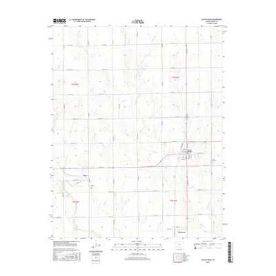
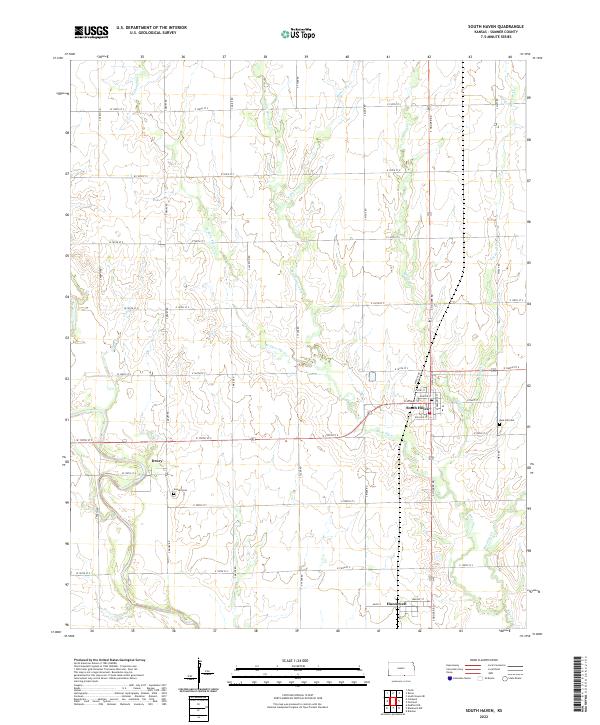
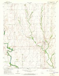 1965 South Haven1966 Print · USGSThe Kansas-Oklahoma borderlands in the mid-1960s reveal a landscape of rail-dependent towns and historic territorial lines. Trace the Old Indian Treaty Boundary as it passes between the settlements of South Haven and Hunnewell.
 - 1968 Map of Blackwell NW, 1970 Print
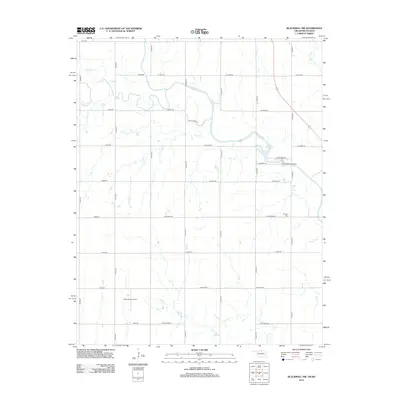
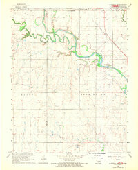 1968 Blackwell NW1970 Print · USGSThe Oklahoma-Kansas borderlands are captured here in the late sixties, where the Chikaskia River winds through the northern prairie. Researchers can trace rural genealogy and industry through sites like Triumph Cem, the Asbury Ch, and the extensive Webb North Oil Field.2 unique versions available
 - 1985 Map of Ponca City
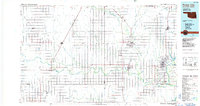 1985 Ponca City1985 Print · USGSNorth-central Oklahoma during the mid-eighties shows a landscape shaped by petroleum and heavy rail. Trace the paths of the Atchison Topeka and Santa Fe through Ponca City or find local landmarks like Northern Oklahoma Junior College and Old Bliss.3 unique versions available
 - 1985 Map of Wellington
 1985 Wellington1985 Print · USGSSouthern Kansas in the mid-eighties reveals a landscape shaped by historical lines and rail commerce, from Wellington to the Arkansas River. Researchers can trace the Old Indian Treaty Boundary and locate family sites near Prairie Lawn Cem or Bluff City.2 unique versions available
 - 2010 Map of South Haven, 2010 Print
 2010 South Haven2010 Print · USGSCovers Hunnewell, including South Haven, Drury, and other nearby areas
 - 2010 Map of Blackwell NW, 2010 Print
 2010 Blackwell NW2010 Print · USGSCovers Hunnewell, including Kay County, Sumner County, and other nearby areas
 - 2012 Map of South Haven, 2012 Print
 2012 South Haven2012 Print · USGSCovers Hunnewell, including South Haven, Drury, and other nearby areas
 - 2012 Map of Blackwell NW, 2012 Print
 2012 Blackwell NW2012 Print · USGSCovers Hunnewell, including Kay County, Sumner County, and other nearby areas
 - 2015 Map of South Haven, 2015 Print
 2015 South Haven2015 Print · USGSCovers Hunnewell, including South Haven, Drury, and other nearby areas
 - 2016 Map of Blackwell NW, 2016 Print
 2016 Blackwell NW2016 Print · USGSCovers Hunnewell, including Kay County, Sumner County, and other nearby areas
 - 2018 Map of South Haven, 2018 Print
 2018 South Haven2018 Print · USGSCovers Hunnewell, including South Haven, Drury, and other nearby areas
 - 2018 Map of Blackwell NW, 2018 Print
 2018 Blackwell NW2018 Print · USGSCovers Hunnewell, including Kay County, Sumner County, and other nearby areas
 - 2022 Map of South Haven, 2022 Print
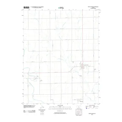
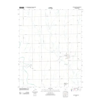
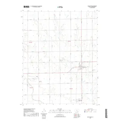
 2022 South Haven2022 Print · USGSSumner County, Kansas, near the Oklahoma border, is captured here in its modern agricultural context. Researchers can trace family roots through Goodel Cem and Rose Hill Cem or locate sites in the settlements of South Haven, Hunnewell, and Drury.
 - 2022 Map of Blackwell NW, 2022 Print
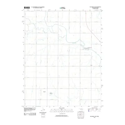
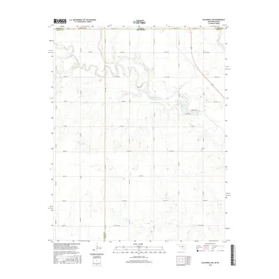
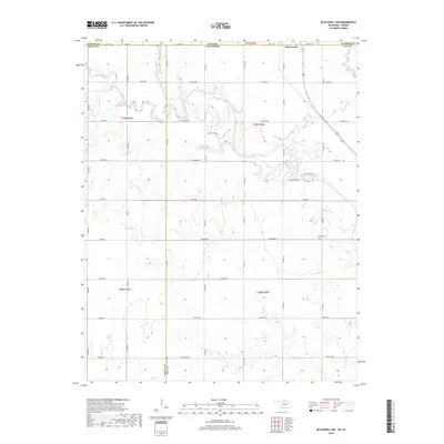
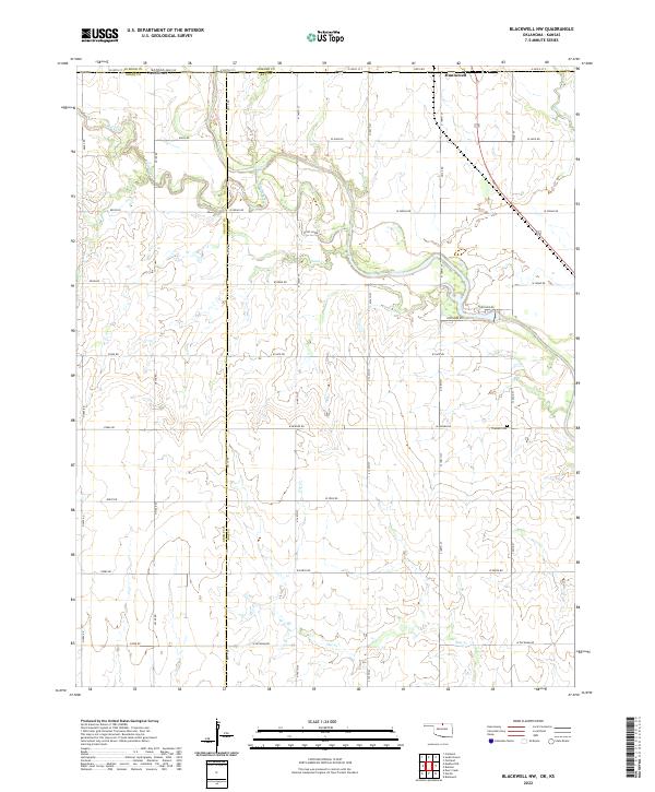 2022 Blackwell NW2022 Print · USGSThe Kansas-Oklahoma borderlands south of Hunnewell are mapped here in the early 2020s. Genealogists and local historians can trace rural landmarks and family plots like Triumph Cemetery and the many winding branches of Bluff Creek.
End of results
Showing maps 1-19 of 19
Top cities near Hunnewell
- Wellington historical maps
- Blackwell historical maps
- Caldwell historical maps
- South Haven historical maps
- Braman historical maps
- Deer Creek historical maps
Frequently asked questions
- What are the different types of historical maps available for Hunnewell?
- What is the oldest map of Hunnewell?
- Where can I purchase historical maps of Hunnewell for my home or office?
- Where can I download high-res historical maps of Hunnewell?
- Are there historical topographic maps available for Hunnewell?
- Is there historical aerial imagery available for Hunnewell?
- Where are historical maps of Hunnewell sourced from?