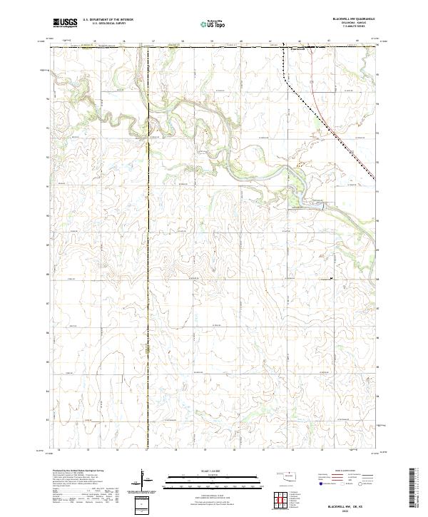
2022 Map of Blackwell NW
USGS Topo · Published 2022About this map
Hunnewell sits just across the Kansas line in this 2022 survey of the borderlands between Kay and Grant counties. The landscape is defined by the winding course of Bluff Creek and its many tributaries, including Sand Creek and Shoo Fly Creek, which carve through the grid of section-line roads. This area preserves a traditional rural layout where family cemeteries like Triumph Cemetery remain isolated among the agricultural fields and creek bottoms. The map documents the persistent geometry of early township and range divisions, such as t29n r2w, which continue to dictate the placement of local routes like W Indian Road and W Peckham Road. It provides a clear record of how modern infrastructure and legacy rural landmarks coexist along the state boundary today.
Find a feature on this map
49 named features on this map. Tap any name to fly to it.
Don’t see what you’re looking for? This feature index may not catch every label — zoom into the map to look around manually.
Map Details
Editions of this 2022 Blackwell NW Map
This is the sole edition of this map. No revisions or reprints were ever made.
Other maps of this area

1889 · Caldwell
USGS Topo · 1:125,000

1890 · Wellington
USGS Topo · 1:125,000

1893 · Caldwell
USGS Topo · 1:125,000

1897 · Caldwell
USGS Topo · 1:125,000

1955 · Wichita
USGS Topo · 1:250,000

1955 · Enid
USGS Topo · 1:250,000

1958 · Enid
USGS Topo · 1:250,000

1958 · Wichita
USGS Topo · 1:250,000

1965 · Portland
USGS Topo · 1:24,000

1965 · South Haven
USGS Topo · 1:24,000