Old Maps of Colby, Kansas for Genealogy
Trace your family roots with 17 historic maps of Colby. These high-res maps reveal old neighborhoods, homesites, landmarks, and streets — helping you uncover where your ancestors lived and how the area evolved over time.
- Explore historic neighborhoods: Identify where your relatives may have lived in the 1800s or 1900s.
- Compare maps over time: Trace the changes in streets, buildings, and landmarks for multi-generational research.
- Perfect for genealogy & ancestry research: Used by family historians and researchers to map out lineage and migration.
These maps are an incredible resource for exploring your personal connection to Colby's past.
Colby, KS maps
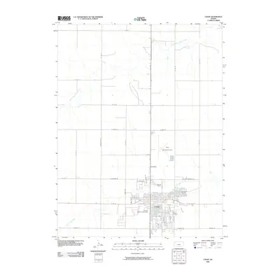
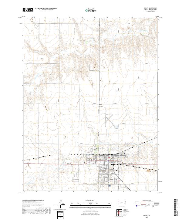
(17)- 1943 Map of Colby
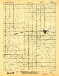 1943 Colby1943 Print · USGSThomas County during the early 1940s reveals a productive agricultural landscape centered on the railway junction at Colby. Genealogists and researchers can trace a vanished network of rural schoolhouses like Green Plain Sch and Star Sch along the South Fork Solomon River.2 unique versions available
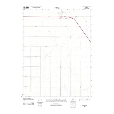
 - 1954 Map of Goodland, 1976 Print
 1954 Goodland1976 Print · USGSNorthwest Kansas comes into focus during the mid-1950s, showing a landscape defined by its vital river forks and thriving rail towns. Researchers can trace the path of the Union Pacific through Colby or locate historic parks like Sheridan Co State Park.
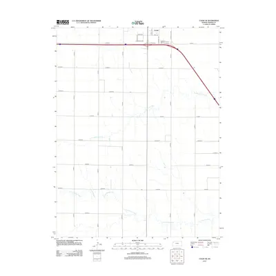
 - 1956 Map of Goodland
 1956 Goodland1956 Print · USGSThe high plains of Northwest Kansas in the mid-fifties reveal a landscape of river-fed agriculture and expanding rail networks. Genealogists and historians can trace the development of county seats like Goodland and Atwood or locate landmarks such as the Arikaree Breaks.
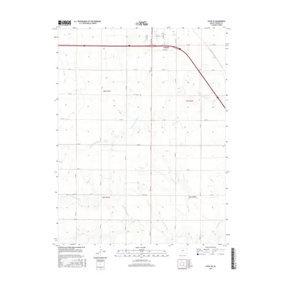
 - 1957 Map of Goodland
 1957 Goodland1957 Print · USGSNorthwest Kansas in the mid-1950s shows a landscape of high plains agriculture and vital rail junctions. Researchers can trace the river-valley settlements from Goodland to Oberlin and follow the paths of the Union Pacific and Sappa Creek.2 unique versions available
 - 1967 Map of Colby SE, 1968 Print
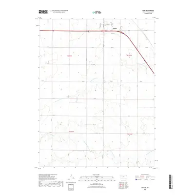
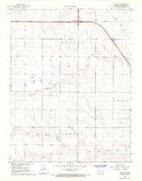 1967 Colby SE1968 Print · USGSThomas County during the late sixties shows the High Plains landscape adapting to the arrival of the interstate. Trace the paths of the North Fork Solomon River and South Fork Solomon River alongside the Union Pacific rail line.
 - 1967 Map of Colby, 1968 Print
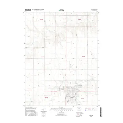
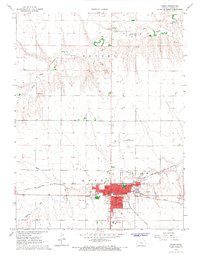 1967 Colby1968 Print · USGSColby in the late sixties shows a thriving Kansas plains community at the junction of two major railroads. Researchers can trace local genealogy and civic history through the Sacred Heart Cem, Colby Junior College, and the Kansas State University Experiment Station.
 - 1985 Map of Goodland
 1985 Goodland1985 Print · USGSSherman and Thomas counties appear in the mid-1980s as a vital transportation and agricultural corridor across the Kansas High Plains. Researchers can trace the rail-side growth of Ruleton, Edson, and Levant or locate landmarks like Colby Jr College and Soldiers Memorial County Park.2 unique versions available
 - 2009 Map of Colby, 2009 Print
 2009 Colby2009 Print · USGSCovers Colby, including Thomas County, United States, and other nearby areas
 - 2009 Map of Colby SE, 2009 Print
 2009 Colby SE2009 Print · USGSCovers Colby, including Thomas County, United States, and other nearby areas
 - 2012 Map of Colby, 2012 Print
 2012 Colby2012 Print · USGSCovers Colby, including Thomas County, United States, and other nearby areas
 - 2012 Map of Colby SE, 2012 Print
 2012 Colby SE2012 Print · USGSCovers Colby, including Thomas County, United States, and other nearby areas
 - 2015 Map of Colby SE, 2015 Print
 2015 Colby SE2015 Print · USGSCovers Colby, including Thomas County, United States, and other nearby areas
 - 2015 Map of Colby, 2015 Print
 2015 Colby2015 Print · USGSCovers Colby, including Thomas County, United States, and other nearby areas
 - 2018 Map of Colby SE, 2018 Print
 2018 Colby SE2018 Print · USGSCovers Colby, including Thomas County, United States, and other nearby areas
 - 2018 Map of Colby, 2018 Print
 2018 Colby2018 Print · USGSCovers Colby, including Thomas County, United States, and other nearby areas
 - 2022 Map of Colby SE, 2022 Print
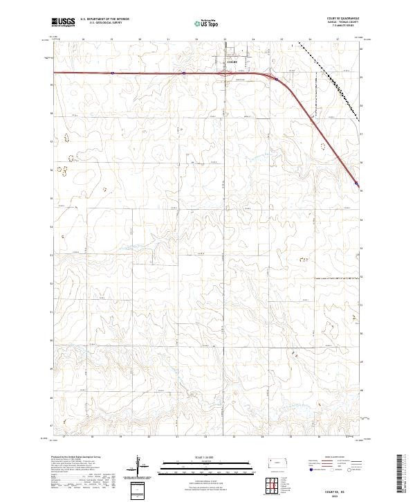 2022 Colby SE2022 Print · USGSThe outskirts of Colby and the surrounding High Plains are captured here during the early twenty-first century. Genealogists and local historians can trace the rural road grid from Maple St down to the banks of the S Fork Solomon River.
 - 2022 Map of Colby, 2022 Print
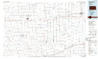
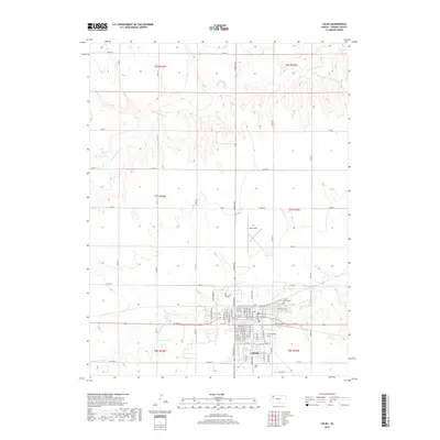
 2022 Colby2022 Print · USGSColby and the surrounding High Plains are captured here in the early twenty-first century, showcasing the development of this Thomas County hub. Local historians and genealogists can pinpoint the Thomas County Courthouse, Beulah Cem, and the Colby Community College campus.
End of results
Showing maps 1-17 of 17
Top cities near Colby
Frequently asked questions
- What are the different types of historical maps available for Colby?
- What is the oldest map of Colby?
- Where can I purchase historical maps of Colby for my home or office?
- Where can I download high-res historical maps of Colby?
- Are there historical topographic maps available for Colby?
- Is there historical aerial imagery available for Colby?
- Where are historical maps of Colby sourced from?