
1967 Map of Colby SE
USGS Topo · Published 1968About this map
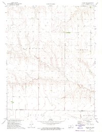
The North Fork Solomon River and South Fork Solomon River dominate this Thomas County landscape, carving through the plains of Morgan and Summers townships. Recorded in the late 1960s, the map reveals a transition from traditional rural homesteads to modern infrastructure, most notably where the Colby Corp Bdy meets the newly constructed Interstate 70. The arrival of this major thoroughfare bisects the older grid, contrasting with the diagonal path of the Union Pacific railroad in the northeast corner.
Find a feature on this map
10 named features on this map. Tap any name to fly to it.
Don’t see what you’re looking for? This feature index may not catch every label — zoom into the map to look around manually.
Map Details
Editions of this 1967 Colby SE Map
This is the sole edition of this map. No revisions or reprints were ever made.
Other maps of this area

1943 · Colby
USGS Topo · 1:62,500

1954 · Goodland
USGS Topo · 1:250,000

1956 · Goodland
USGS Topo · 1:250,000

1957 · Goodland
USGS Topo · 1:250,000

1967 · Levant
USGS Topo · 1:24,000

1967 · Colby SW
USGS Topo · 1:24,000

1967 · Colby
USGS Topo · 1:24,000

1972 · Winona NE
USGS Topo · 1:24,000
1972 · Winona NW
USGS Topo · 1:24,000
1979 · Mingo
USGS Topo · 1:24,000