
1972 Map of Winona NE
USGS Topo · Published 1974About this map
Thomas and Logan counties meet in this High Plains landscape, where the upper reaches of the Saline River divide into distinct branches. The North Fork Saline River and South Fork Saline River cut through the terrain of Summers and Monument townships, creating the primary topographic relief in an otherwise expansive upland. This 1970s survey captures the region's heavy reliance on subsurface resources, evidenced by the numerous wells dotting the sections.
Find a feature on this map
9 named features on this map. Tap any name to fly to it.
Don’t see what you’re looking for? This feature index may not catch every label — zoom into the map to look around manually.
Map Details
Editions of this 1972 Winona NE Map
This is the sole edition of this map. No revisions or reprints were ever made.
Other maps of this area

1943 · Colby
USGS Topo · 1:62,500

1954 · Goodland
USGS Topo · 1:250,000

1956 · Goodland
USGS Topo · 1:250,000

1957 · Goodland
USGS Topo · 1:250,000

1967 · Colby SE
USGS Topo · 1:24,000

1967 · Colby SW
USGS Topo · 1:24,000

1972 · Monument
USGS Topo · 1:24,000
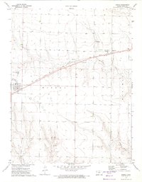
1972 · Winona
USGS Topo · 1:24,000
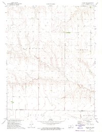
1972 · Winona NW
USGS Topo · 1:24,000
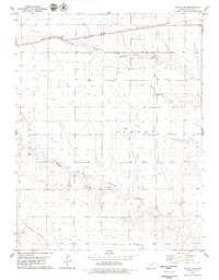
1979 · Oakley SW
USGS Topo · 1:24,000