
1972 Map of Monument
USGS Topo · Published 1974About this map
Monument sits at the intersection of high plains agriculture and rail transport along the Union Pacific line in Logan County. This 1970s survey illustrates a landscape defined by the drainage systems of Hackberry Creek and the Middle Branch Hackberry Creek, which carve distinct topographic breaks into the flat Kansas terrain. The map records the spatial relationship between the small town center and the outlying Monument Cem, providing a precise view of the rural infrastructure as it existed following 1969 aerial photography. To the southwest, the incision of Sixmile Gulch marks the transition into more broken ground, showing the natural erosion patterns that contrast with the linear grid of section lines and transport corridors that organize the High Plains.
Find a feature on this map
9 named features on this map. Tap any name to fly to it.
Don’t see what you’re looking for? This feature index may not catch every label — zoom into the map to look around manually.
Map Details
Editions of this 1972 Monument Map
This is the sole edition of this map. No revisions or reprints were ever made.
Other maps of this area

1954 · Goodland
USGS Topo · 1:250,000

1955 · Scott City
USGS Topo · 1:250,000

1956 · Goodland
USGS Topo · 1:250,000

1957 · Goodland
USGS Topo · 1:250,000

1958 · Scott City
USGS Topo · 1:250,000

1972 · Russell Springs
USGS Topo · 1:24,000
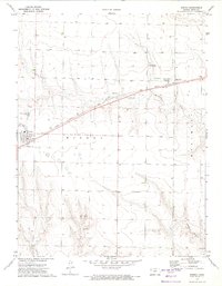
1972 · Winona
USGS Topo · 1:24,000

1972 · Winona NE
USGS Topo · 1:24,000
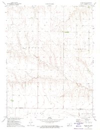
1972 · Winona NW
USGS Topo · 1:24,000

1972 · Elkader NW
USGS Topo · 1:24,000