Old Maps of Keene, Kansas for Academic Research
Study the evolution of Keene with 12 high-resolution historic maps. Whether you're teaching, researching, or modeling changes in land use, these maps provide essential visual documentation of urban, environmental, and geographic change.
- Analyze long-term change: Track patterns in development, transportation, and natural features.
- Ideal for environmental or urban studies: Support academic projects with primary historical map data.
- Use in the classroom or lab: Educators and researchers rely on these maps to bring historical context to life.
These maps are a powerful tool for teaching, research, and visualizing how Keene has changed over the decades.
Keene, KS maps
(12)- 1885 Map of Eskridge
 1885 Eskridge1885 Print · USGSEast-central Kansas was a hub of rapid railroad expansion in the 1880s, where iron rails began to define the prairie landscape. Genealogists and historians can trace the early layout of Council Grove and find now-quiet settlements like Bismarck and Admire City.
 - 1889 Map of Eskridge
 1889 Eskridge1889 Print · USGSKansas prairie life in the late 1880s is defined here by the rapid arrival of the iron horse across Wabaunsee and Lyon counties. Genealogists and historians can trace early rail hubs like Council Grove and Eskridge, or follow the winding path of One Hundred and Forty Two Mile Creek.
 - 1894 Map of Eskridge
 1894 Eskridge1894 Print · USGSEast-central Kansas was a bustling corridor of competing railroads and growing prairie towns in the decade before the turn of the century. Genealogists and local historians can trace the early footprints of Council Grove and Eskridge, alongside smaller locales like Dunlap and Agnes City.5 unique versions available
 - 1955 Map of Hutchinson, 1967 Print
 1955 Hutchinson1967 Print · USGSCentral Kansas in the mid-sixties reveals a landscape of growing reservoirs and evolving transportation corridors. Trace the development of towns like Hutchinson and Abilene alongside the Union Pacific Railroad and the expanding Interstate 70.3 unique versions available
 - 1959 Map of Hutchinson
 1959 Hutchinson1959 Print · USGSCentral Kansas thrives at the intersection of rail and river in the mid-1950s, as post-war aviation infrastructure reshapes the prairie. Genealogists and historians can trace the paths of the AT&SF RR through Newton and Hutchinson, or locate military sites like Smoky Hill Air Force Base.2 unique versions available
 - 1971 Map of Keene, 1974 Print
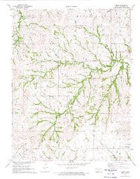 1971 Keene1974 Print · USGSWabaunsee County in the early 1970s is a landscape of winding creek valleys and quiet rural crossroads. Researchers can trace the layout of the Keene community, locating local landmarks like the Wesleyan Ch, Keene Cem, and the Fish Hatchery.2 unique versions available
 - 1985 Map of Council Grove
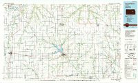 1985 Council Grove1985 Print · USGSThe Flint Hills region of Kansas thrives in the mid-1980s as a vital crossroads for major rail lines and prairie water systems. Researchers can trace the path of the Atchison Topeka and Santa Fe through small towns like Hope and Burdick or locate landmarks like Lake Kahola.2 unique versions available
 - 2009 Map of Keene, 2009 Print
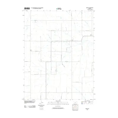 2009 Keene2009 Print · USGSThis rural Kansas township in Wabaunsee County is defined by the braided branches of Mission Creek and the small settlement of Keene. Genealogists and local historians can trace legacy sites like Keene Cemetery, Mission View Cemetery, and the historic Military Trail Rd.
 - 2012 Map of Keene, 2012 Print
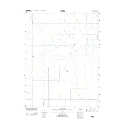 2012 Keene2012 Print · USGSThe rural Wabaunsee County landscape around Keene is captured here in the early twenty-first century, featuring a detailed network of prairie creeks and country roads. Researchers can trace local heritage through sites like Mission View Cem or investigate Cold War era remnants along Missile Base Rd.
 - 2015 Map of Keene, 2015 Print
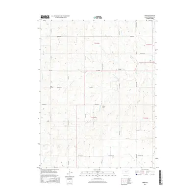 2015 Keene2015 Print · USGSWabaunsee County remains a landscape of prairie drainages and quiet rural crossroads in the mid-2010s. Researchers can locate family burial sites at Keene Cemetery and Mission View Cemetery or trace the path of Military Trail Road.
 - 2018 Map of Keene, 2018 Print
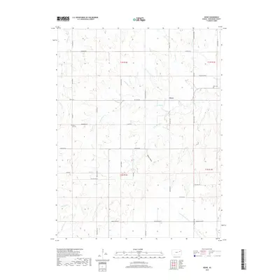 2018 Keene2018 Print · USGSWabaunsee County’s rolling prairie and stream-cut valleys are documented here during the late 2010s. Researchers can trace land ties at Keene Cem or follow the paths of Military Trail Rd and the S Br Wakarusa River.
 - 2022 Map of Keene, 2022 Print
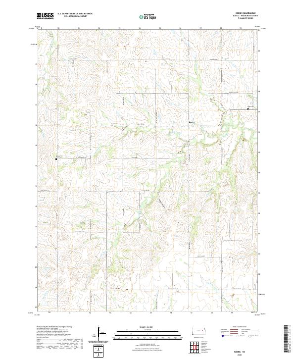 2022 Keene2022 Print · USGSWabaunsee County, Kansas, is documented here in the early twenty-first century, showing a landscape of traditional ranching and deep-rooted community sites. Researchers can locate the Keene Cem, trace the winding Military Trail Rd, and follow the path of Mission Cr through the local prairie.
End of results
Showing maps 1-12 of 12
Top cities near Keene
- Dover historical maps
- Silver Lake historical maps
- Auburn historical maps
- Newbury historical maps
- Rossville historical maps
- Burlingame historical maps
See more
Frequently asked questions
- What are the different types of historical maps available for Keene?
- What is the oldest map of Keene?
- Where can I purchase historical maps of Keene for my home or office?
- Where can I download high-res historical maps of Keene?
- Are there historical topographic maps available for Keene?
- Is there historical aerial imagery available for Keene?
- Where are historical maps of Keene sourced from?