Old Maps of Harrison Township, Kansas for Genealogy
Trace your family roots with 40 historic maps of Harrison Township. These high-res maps reveal old neighborhoods, homesites, landmarks, and streets — helping you uncover where your ancestors lived and how the area evolved over time.
- Explore historic neighborhoods: Identify where your relatives may have lived in the 1800s or 1900s.
- Compare maps over time: Trace the changes in streets, buildings, and landmarks for multi-generational research.
- Perfect for genealogy & ancestry research: Used by family historians and researchers to map out lineage and migration.
These maps are an incredible resource for exploring your personal connection to Harrison Township's past.
Harrison Township, KS maps
(40)- 1955 Map of Scott City, 1969 Print
 1955 Scott City1969 Print · USGSWestern Kansas in the mid-fifties is captured here as a landscape of rural schoolhouses and significant rail corridors. Family historians can trace the locations of Skyline and Beaver Creek Schools or follow the Union Pacific line through Oakley and Sharon Springs.4 unique versions available
 - 1958 Map of Scott City
 1958 Scott City1958 Print · USGSWestern Kansas at the peak of the post-war era reveals a landscape of high-plains agriculture and vital rail junctions. Genealogists and historians can trace old country school sites like Prairie Bell School, the landmark Chalk Pyramids, and small stops along the Union Pacific and Missouri Pacific.
 - 1959 Map of Wallace, 1960 Print
 1959 Wallace1960 Print · USGSWallace County in the late fifties was defined by its railroad heritage and the deep drainage of the Smoky Hill River. You can trace the Union Pacific line from Sharon Springs to Wallace, locating landmarks like the Dinas Ch, Wallace Cem, and Big Lagoon.
 - 1968 Map of Russell Springs 3 NW, 1969 Print
 1968 Russell Springs 3 NW1969 Print · USGSWestern Kansas rangeland at the end of the 1960s is preserved here, showing the sparse infrastructure of the High Plains. Genealogists and historians can trace property boundaries across Harrison and Augustine or follow the course of Chalk Creek.2 unique versions available
 - 1968 Map of Sharon Springs 4 NW, 1969 Print
 1968 Sharon Springs 4 NW1969 Print · USGSWestern Kansas high plains and the winding branches of the local creek system are captured here in the late sixties. Researchers can trace the Bethany Cem and the complex confluence of Middle Ladder Creek and Sharon Springs Creek.2 unique versions available
 - 1968 Map of Sharon Springs 4 NE, 1969 Print
 1968 Sharon Springs 4 NE1969 Print · USGSThe high plains of Western Kansas appear here in the late sixties, where the deep incisions of Ladder Creek break the flat horizon. Researchers can trace the rural infrastructure of the day, from the West Bethany Ch to local industrial sites like a Sandpit and Gravel Pit.2 unique versions available
 - 1969 Map of Russell Springs 2 SW, 1971 Print
 1969 Russell Springs 2 SW1971 Print · USGSLogan and Wallace counties in the late sixties reveal a landscape defined by ranching life and intricate prairie drainage. Researchers can trace the intersection of early townships and locate landmarks like Little Eagle Ch and the prominent Twin Butte.2 unique versions available
 - 1979 Map of Harrison Flats, 1980 Print
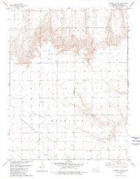 1979 Harrison Flats1980 Print · USGSWallace County, Kansas, is documented here in the late seventies as a landscape of high plateaus and sudden breaks. Genealogists and local historians can locate the Harrison Flats Sch, Dinas Ch, and the rugged terrain of Wallace Bluffs.
 - 1979 Map of South Flats, 1980 Print
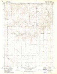 1979 South Flats1980 Print · USGSWallace County, Kansas, is documented here in the late seventies during a period of steady agricultural use. Researchers can trace the section lines across South Flats or locate landmarks like the Walker Landing Strip and Rose Creek.
 - 1985 Map of Sharon Springs
 1985 Sharon Springs1985 Print · USGSWestern Kansas at the mid-eighties reveals a landscape shaped by the Union Pacific and the historic Butterfield Overland Trail. Researchers can trace the frontier legacy of the Fort Wallace (site) and explore rural landmarks from Weskan to Russell Springs.2 unique versions available
 - 2009 Map of Twin Butte, 2009 Print
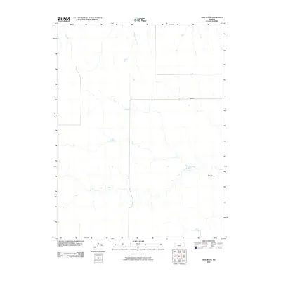 2009 Twin Butte2009 Print · USGSWestern Kansas at the beginning of the twenty-first century reveals a landscape defined more by its natural drainage than by urban growth. You can trace the path of Twin Butte Creek as it winds toward the landmark Twin Butte, alongside local routes like Jayhawk.
 - 2009 Map of South Flats, 2009 Print
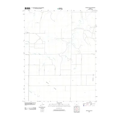 2009 South Flats2009 Print · USGSWallace County at the turn of the millennium shows a landscape defined by the vast agricultural plateaus of South Flats. Researchers can trace rural aviation history at the Walker Landing Strip or follow the drainage of Rose Creek and Ladder Creek.
 - 2009 Map of Harrison Flats, 2009 Print
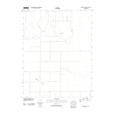 2009 Harrison Flats2009 Print · USGSWestern Kansas ranching and agricultural lands are captured here in the first decade of the millennium. Researchers can trace the drainage patterns of Homestead Canyon and Twin Butte Creek across the expanse of Harrison Flats.
 - 2010 Map of South of Twin Butte, 2010 Print
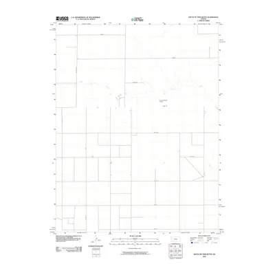 2010 South of Twin Butte2010 Print · USGSWallace County, Kansas, is documented at the start of the decade as a region of expansive ranching and disciplined road grids. Researchers can trace the path of Chalk Creek and locate local landmarks such as the Arrow B Ranch Airport and Bison Rd.
 - 2010 Map of West Bethany Church, 2010 Print
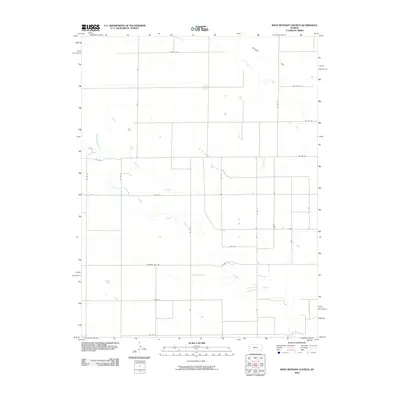 2010 West Bethany Church2010 Print · USGSGreeley County at the dawn of the twenty-first century reveals a landscape defined by ranching and the section-line grid. Researchers can trace the winding paths of Ladder Creek and Chalk Creek as they cut through the expansive Harrison Flats region.
 - 2010 Map of Middle Ladder Creek East, 2010 Print
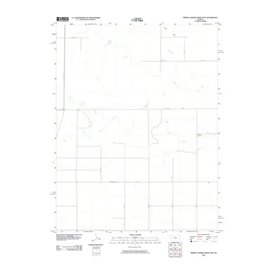 2010 Middle Ladder Creek East2010 Print · USGSTribune Township is defined by the steady convergence of High Plains watercourses during the early twenty-first century. Genealogists and local historians can locate Bethany Cemetery and trace the paths of Middle Ladder Creek and South Ladder Creek.
 - 2012 Map of Harrison Flats, 2012 Print
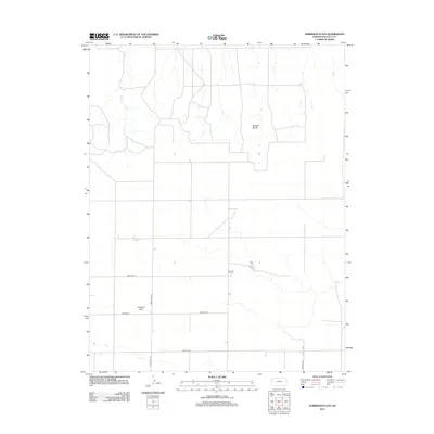 2012 Harrison Flats2012 Print · USGSThe high plains of western Kansas are captured here in 2012, showing the grid-based agricultural landscape of Wallace County. Researchers can trace the section-line roads connecting the Harrison Flats settlement and the terrain of Wallace Bluffs and Coon Cr.
 - 2012 Map of West Bethany Church, 2012 Print
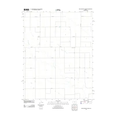 2012 West Bethany Church2012 Print · USGSGreeley County agricultural lands are documented here in the early twenty-first century, showing the precise grid of High Plains farming. Genealogists and local historians can locate the West Bethany Church and trace rural routes like 13 Mile Rd.
 - 2012 Map of South Flats, 2012 Print
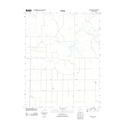 2012 South Flats2012 Print · USGSHigh plains ranching and the vast Kansas landscape come into focus in this early twenty-first century study of Wallace County. Genealogists and researchers can trace the rural road grid across Harrison Flats and locate drainages like Rose Cr and Sand Cr.
 - 2012 Map of Twin Butte, 2012 Print
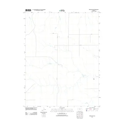 2012 Twin Butte2012 Print · USGSWallace County, Kansas, is documented here in the early twenty-first century, showcasing the expansive high plains and rural infrastructure of the region. Researchers can trace the layout of the local road grid including Kiowa and Jayhawk or locate the distinct elevation of Twin Butte.
 - 2012 Map of South of Twin Butte, 2012 Print
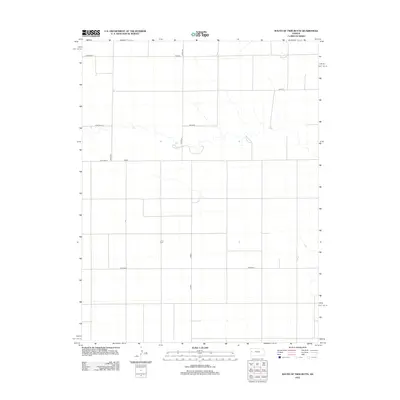 2012 South of Twin Butte2012 Print · USGSThe open plains of Wallace County are captured here in the early twenty-first century, showing the rigid grid of the High Plains. Researchers can trace the network of rural routes that serve this agricultural area, including Bison Rd, Dakota, and Coyote.
 - 2012 Map of Middle Ladder Creek East, 2012 Print
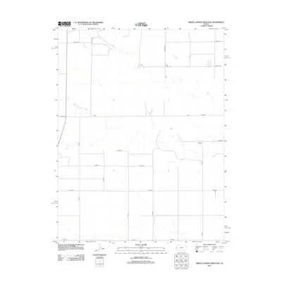 2012 Middle Ladder Creek East2012 Print · USGSHigh Plains ranching and farming country in western Kansas is defined here by its precise section-line road grid and seasonal watercourses. Genealogists and local historians can locate Bethany Cem and trace the paths of Middle Ladder Cr or 13 Mile Rd.
 - 2015 Map of Middle Ladder Creek East, 2015 Print
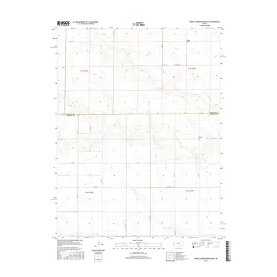 2015 Middle Ladder Creek East2015 Print · USGSHigh Plains ranching and farming country along the border of Wallace and Greeley counties is documented here in the mid-2010s. Researchers can trace the agricultural grid and find the Bethany Cem or navigate the rural network of Dusty Rd and Crosswind Rd.
 - 2015 Map of West Bethany Church, 2015 Print
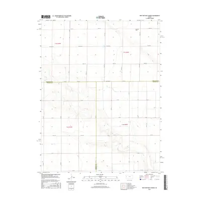 2015 West Bethany Church2015 Print · USGSWestern Kansas at the turn of the millennium remains a land of expansive horizons and section-line grids. Genealogists and historians can trace the intersection of three counties and the open terrain of Harrison Flats via local routes like Bumpy Rd and Arrowhead Rd.
 - 2015 Map of Harrison Flats, 2015 Print
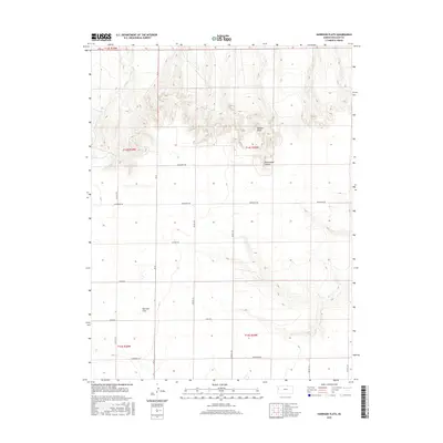 2015 Harrison Flats2015 Print · USGSHarrison Township in Wallace County shows its rural character in the twenty-first century, defined by vast agricultural plains and sharp canyon breaks. Genealogists and local researchers can trace the section lines and rural routes like Ironhorse Rd, Harrison Flats, and the rugged Wallace Bluffs.
Showing maps 1-25 of 40
Top cities near Harrison Township
Frequently asked questions
- What are the different types of historical maps available for Harrison Township?
- What is the oldest map of Harrison Township?
- Where can I purchase historical maps of Harrison Township for my home or office?
- Where can I download high-res historical maps of Harrison Township?
- Are there historical topographic maps available for Harrison Township?
- Is there historical aerial imagery available for Harrison Township?
- Where are historical maps of Harrison Township sourced from?