2000s (21st Century) Maps of Harrison Township, Kansas
Explore 30 historic maps of Harrison Township from the 2000s (21st Century). These maps offer a rare glimpse into what life looked like during the 2000s — showing old roads, neighborhoods, homes, and landmarks that have changed or disappeared over time.
Whether you're researching your family's past, planning a metal detecting trip, or studying how Harrison Township's landscape evolved across the 2000s, these high-resolution maps are a powerful tool for exploring the history of this region.
- Focus on a specific era: All maps on this page are from the 2000s, giving you a focused view of this time period.
- See what’s changed: Compare century-old streets, trails, and buildings to today's modern landscape using overlays and satellite layers.
- Research with precision: Use these maps for genealogy, historical research, land use analysis, or educational projects.
- View, download, or print: Maps are fully viewable online in high resolution, and can be downloaded or printed for your own records.
Start exploring Harrison Township's history through authentic maps from the 2000s. This is your window into the past.
Harrison Township, KS maps
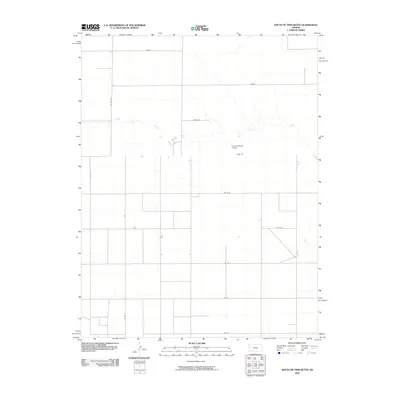
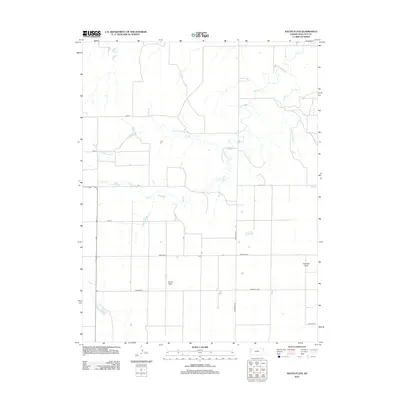
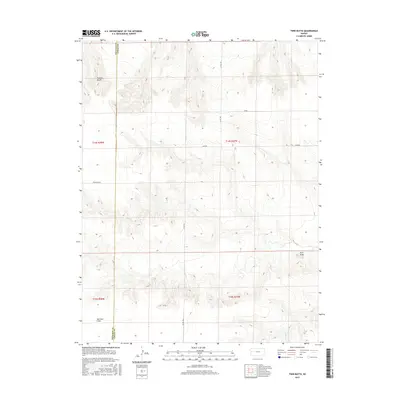
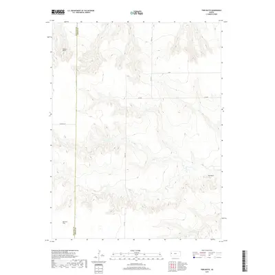
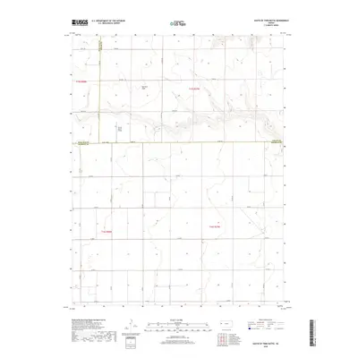
(30)- 2009 Map of Twin Butte, 2009 Print
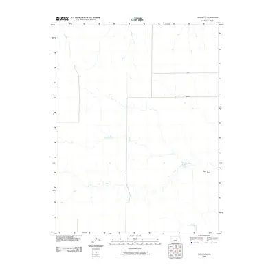 2009 Twin Butte2009 Print · USGSCovers Harrison Township, including Wallace Township, Wallace County, and other nearby areas
 - 2009 Map of South Flats, 2009 Print
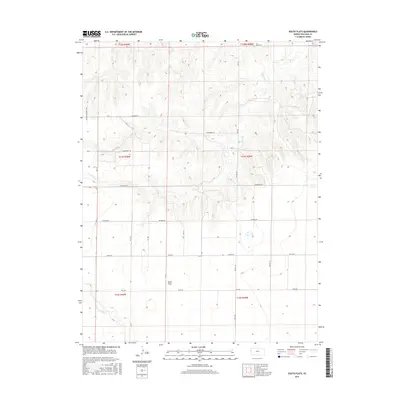
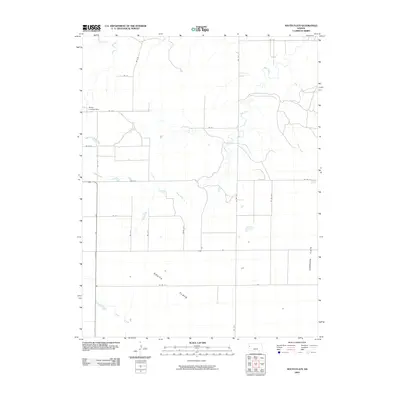 2009 South Flats2009 Print · USGSCovers Harrison Township, including Wallace Township, Sharon Springs Township, and other nearby areas
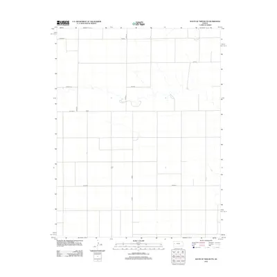
 - 2009 Map of Harrison Flats, 2009 Print
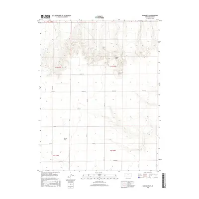
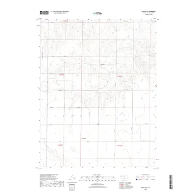
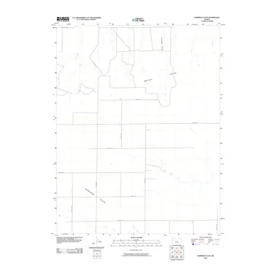 2009 Harrison Flats2009 Print · USGSCovers Harrison Township, including Wallace Township, Wallace County, and other nearby areas
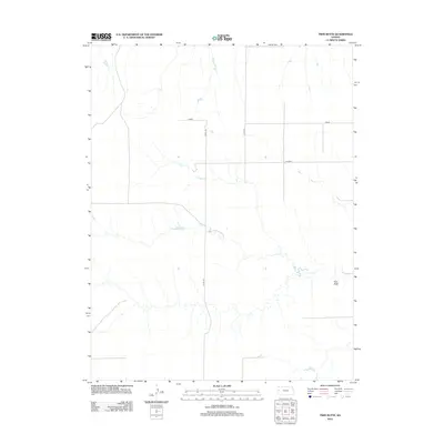
 - 2010 Map of South of Twin Butte, 2010 Print
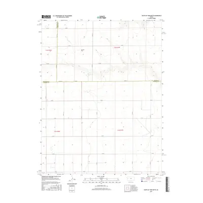
 2010 South of Twin Butte2010 Print · USGSCovers Harrison Township, including Leoti Township, Wallace County, and other nearby areas
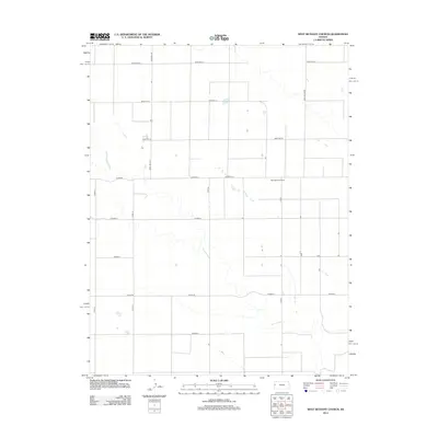
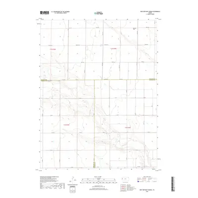
 - 2010 Map of West Bethany Church, 2010 Print
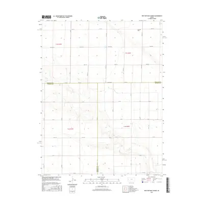
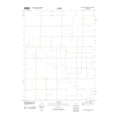 2010 West Bethany Church2010 Print · USGSCovers Harrison Township, including Tribune Township, Leoti Township, and other nearby areas
 - 2010 Map of Middle Ladder Creek East, 2010 Print
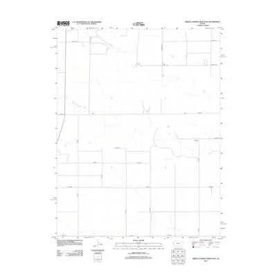
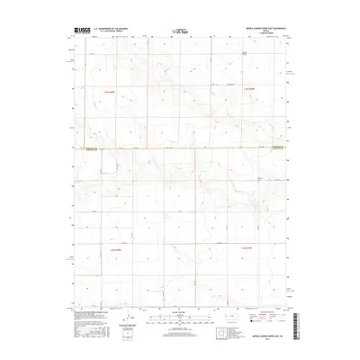
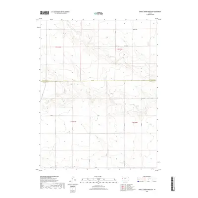
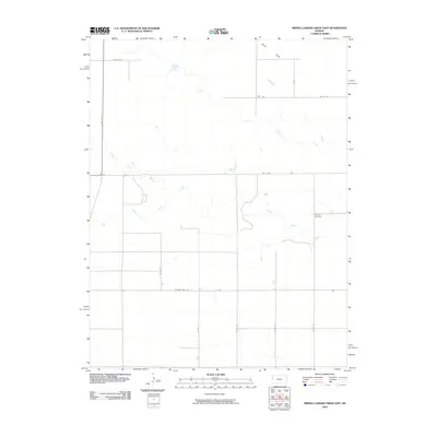 2010 Middle Ladder Creek East2010 Print · USGSCovers Harrison Township, including Tribune Township, Sharon Springs Township, and other nearby areas
 - 2012 Map of Harrison Flats, 2012 Print
 2012 Harrison Flats2012 Print · USGSCovers Harrison Township, including Wallace Township, Wallace County, and other nearby areas
 - 2012 Map of West Bethany Church, 2012 Print
 2012 West Bethany Church2012 Print · USGSCovers Harrison Township, including Tribune Township, Leoti Township, and other nearby areas
 - 2012 Map of South Flats, 2012 Print
 2012 South Flats2012 Print · USGSCovers Harrison Township, including Wallace Township, Sharon Springs Township, and other nearby areas
 - 2012 Map of Twin Butte, 2012 Print
 2012 Twin Butte2012 Print · USGSCovers Harrison Township, including Wallace Township, Wallace County, and other nearby areas
 - 2012 Map of South of Twin Butte, 2012 Print
 2012 South of Twin Butte2012 Print · USGSCovers Harrison Township, including Leoti Township, Wallace County, and other nearby areas
 - 2012 Map of Middle Ladder Creek East, 2012 Print
 2012 Middle Ladder Creek East2012 Print · USGSCovers Harrison Township, including Tribune Township, Sharon Springs Township, and other nearby areas
 - 2015 Map of Middle Ladder Creek East, 2015 Print
 2015 Middle Ladder Creek East2015 Print · USGSCovers Harrison Township, including Tribune Township, Sharon Springs Township, and other nearby areas
 - 2015 Map of West Bethany Church, 2015 Print
 2015 West Bethany Church2015 Print · USGSCovers Harrison Township, including Tribune Township, Leoti Township, and other nearby areas
 - 2015 Map of Harrison Flats, 2015 Print
 2015 Harrison Flats2015 Print · USGSCovers Harrison Township, including Wallace Township, Wallace County, and other nearby areas
 - 2015 Map of Twin Butte, 2015 Print
 2015 Twin Butte2015 Print · USGSCovers Harrison Township, including Wallace Township, Wallace County, and other nearby areas
 - 2015 Map of South Flats, 2015 Print
 2015 South Flats2015 Print · USGSCovers Harrison Township, including Wallace Township, Sharon Springs Township, and other nearby areas
 - 2016 Map of South of Twin Butte, 2016 Print
 2016 South of Twin Butte2016 Print · USGSCovers Harrison Township, including Leoti Township, Wallace County, and other nearby areas
 - 2018 Map of South Flats, 2018 Print
 2018 South Flats2018 Print · USGSCovers Harrison Township, including Wallace Township, Sharon Springs Township, and other nearby areas
 - 2018 Map of Twin Butte, 2018 Print
 2018 Twin Butte2018 Print · USGSCovers Harrison Township, including Wallace Township, Wallace County, and other nearby areas
 - 2018 Map of Middle Ladder Creek East, 2018 Print
 2018 Middle Ladder Creek East2018 Print · USGSCovers Harrison Township, including Tribune Township, Sharon Springs Township, and other nearby areas
 - 2018 Map of South of Twin Butte, 2018 Print
 2018 South of Twin Butte2018 Print · USGSCovers Harrison Township, including Leoti Township, Wallace County, and other nearby areas
 - 2018 Map of West Bethany Church, 2018 Print
 2018 West Bethany Church2018 Print · USGSCovers Harrison Township, including Tribune Township, Leoti Township, and other nearby areas
 - 2018 Map of Harrison Flats, 2018 Print
 2018 Harrison Flats2018 Print · USGSCovers Harrison Township, including Wallace Township, Wallace County, and other nearby areas
 - 2022 Map of South Flats, 2022 Print
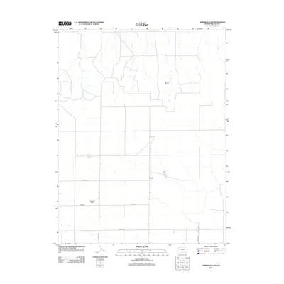
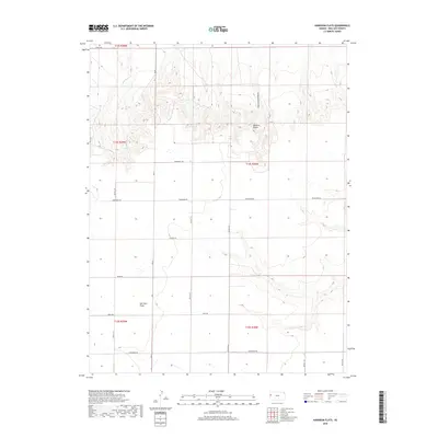
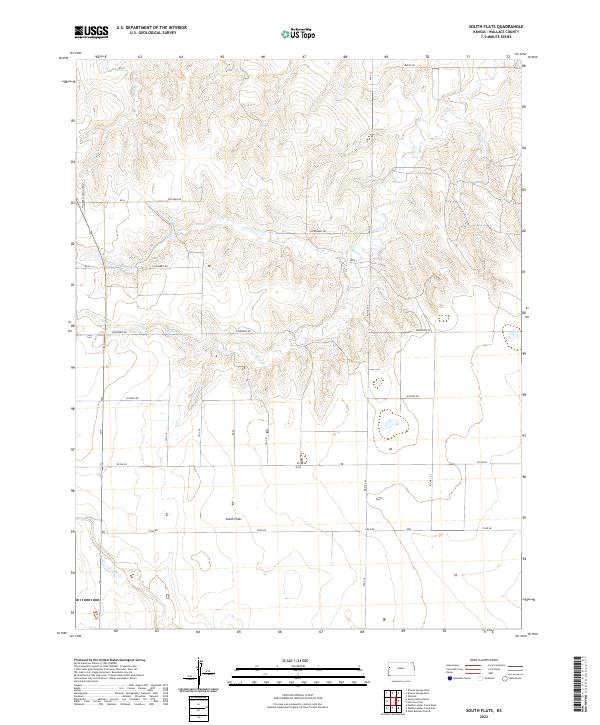 2022 South Flats2022 Print · USGSWallace County, Kansas, is captured in this modern survey as a landscape of remote agricultural sections and rugged creek breaks. Genealogists and historians can trace the paths of Rose Cr and Sand Cr or locate specific sections along Ironhorse Rd and Killdeer Rd.
Showing maps 1-25 of 30
Top cities near Harrison Township
Frequently asked questions
- What are the different types of historical maps available for Harrison Township?
- What is the oldest map of Harrison Township?
- Where can I purchase historical maps of Harrison Township for my home or office?
- Where can I download high-res historical maps of Harrison Township?
- Are there historical topographic maps available for Harrison Township?
- Is there historical aerial imagery available for Harrison Township?
- Where are historical maps of Harrison Township sourced from?